Bisse du Ro


Localisation
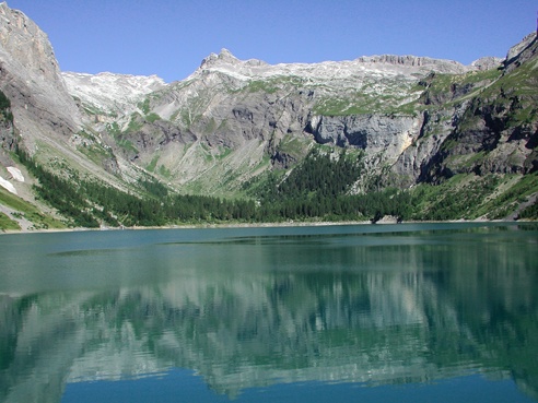
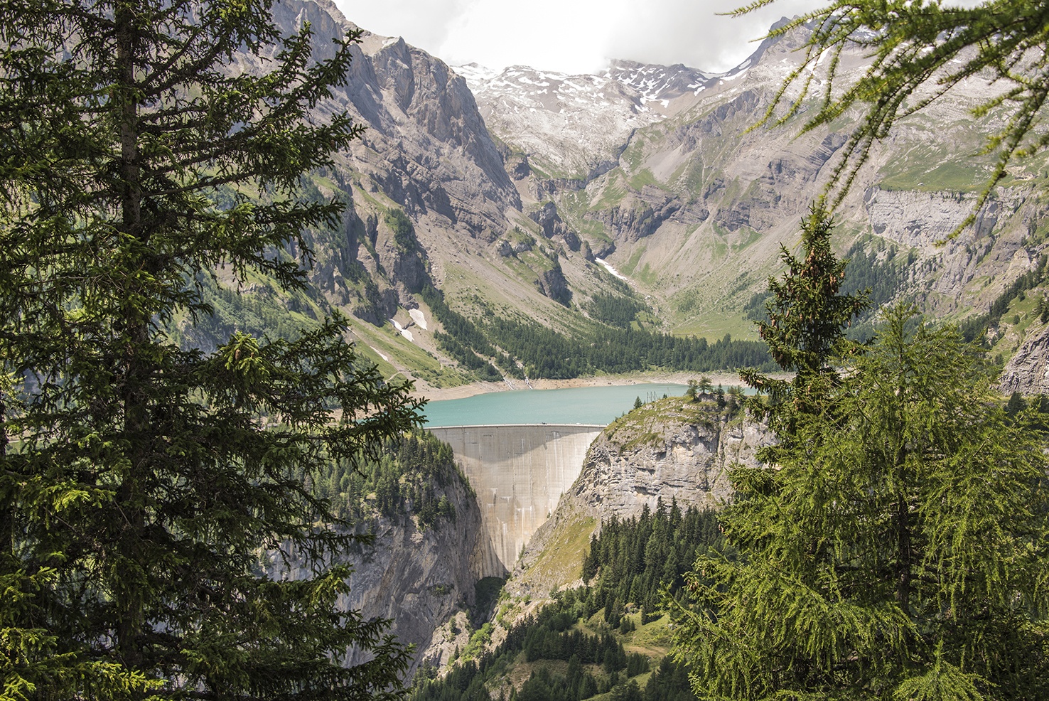
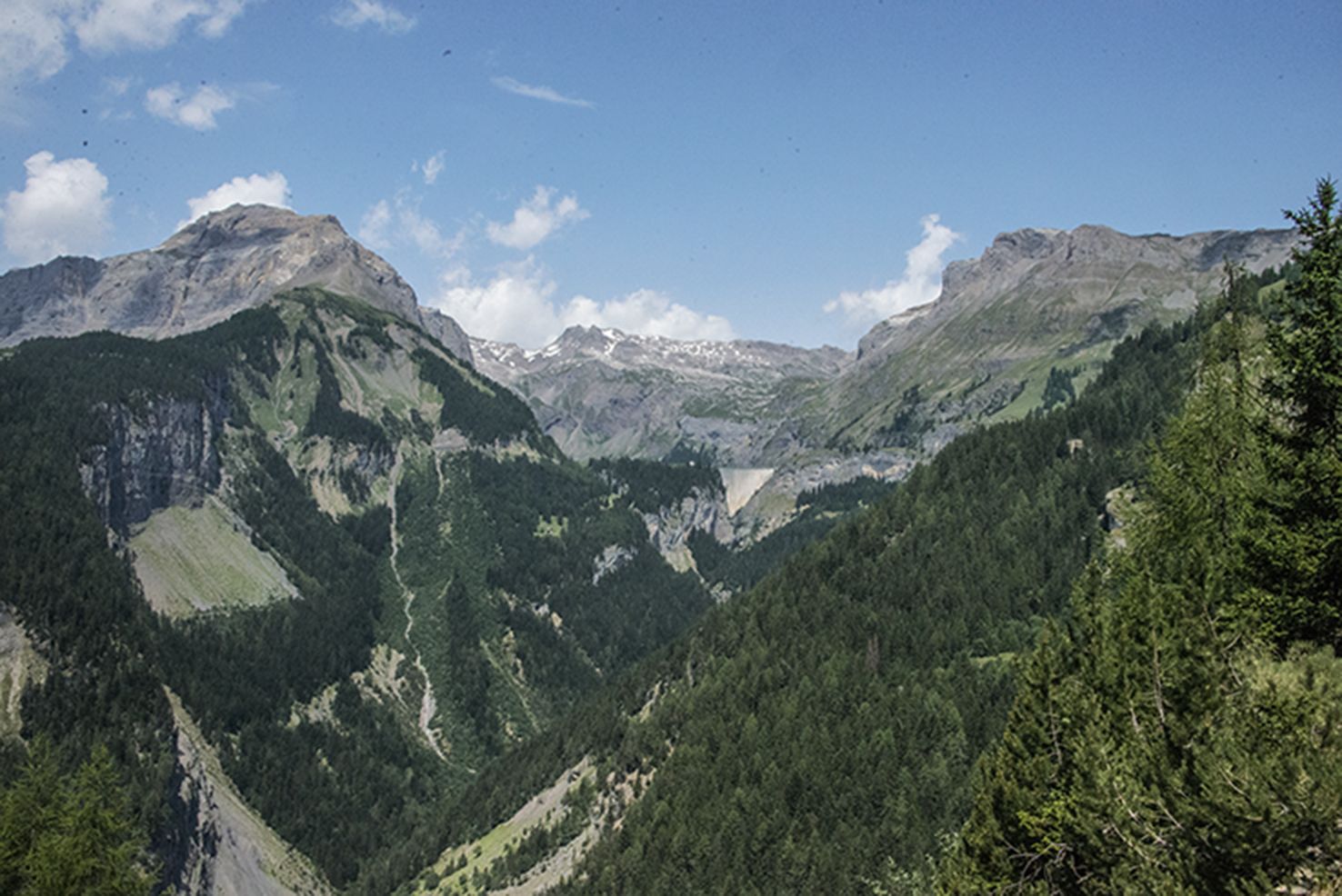
Entre Crans-Montana, et le barrage de Tzeusier, en rive droite du Rhône.

Descriptif
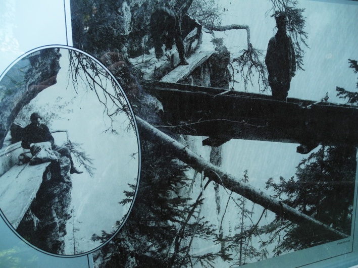
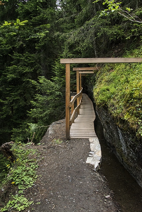
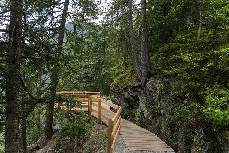
Construit au XIVème siècle il a été entièrement canalisé au milieu du XXème siècle. Des panneaux didactiques explicatifs sur l’organisation sociale et les règles d’irrigation jalonnent le parcours de ce bisse.

Longueur totale
6 km

Temps de parcours
2 à 3 heures, sans le retour

Altitude
Entre 1450 et 1750 mètres

Carte nationale d’excursion 1:50’000
273 T Montana

Meilleure période
De juin à septembre
Ce bisse est partiellement en eau de fin avril à fin septembre.

Difficulté
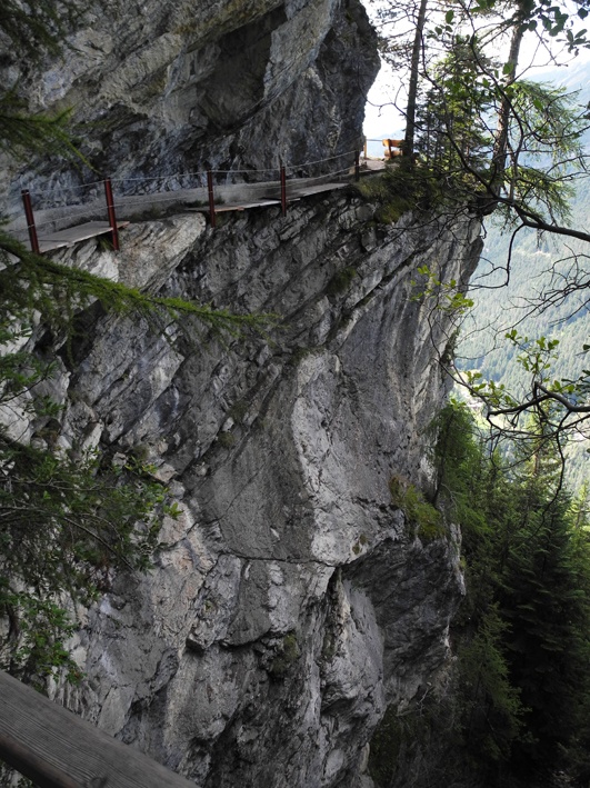
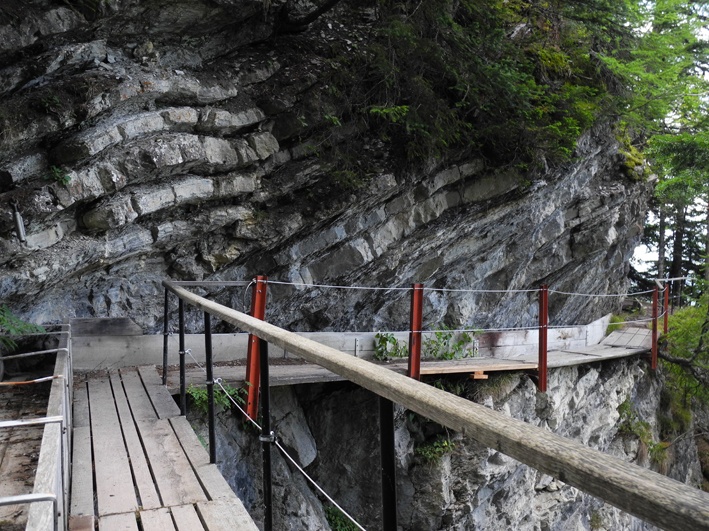
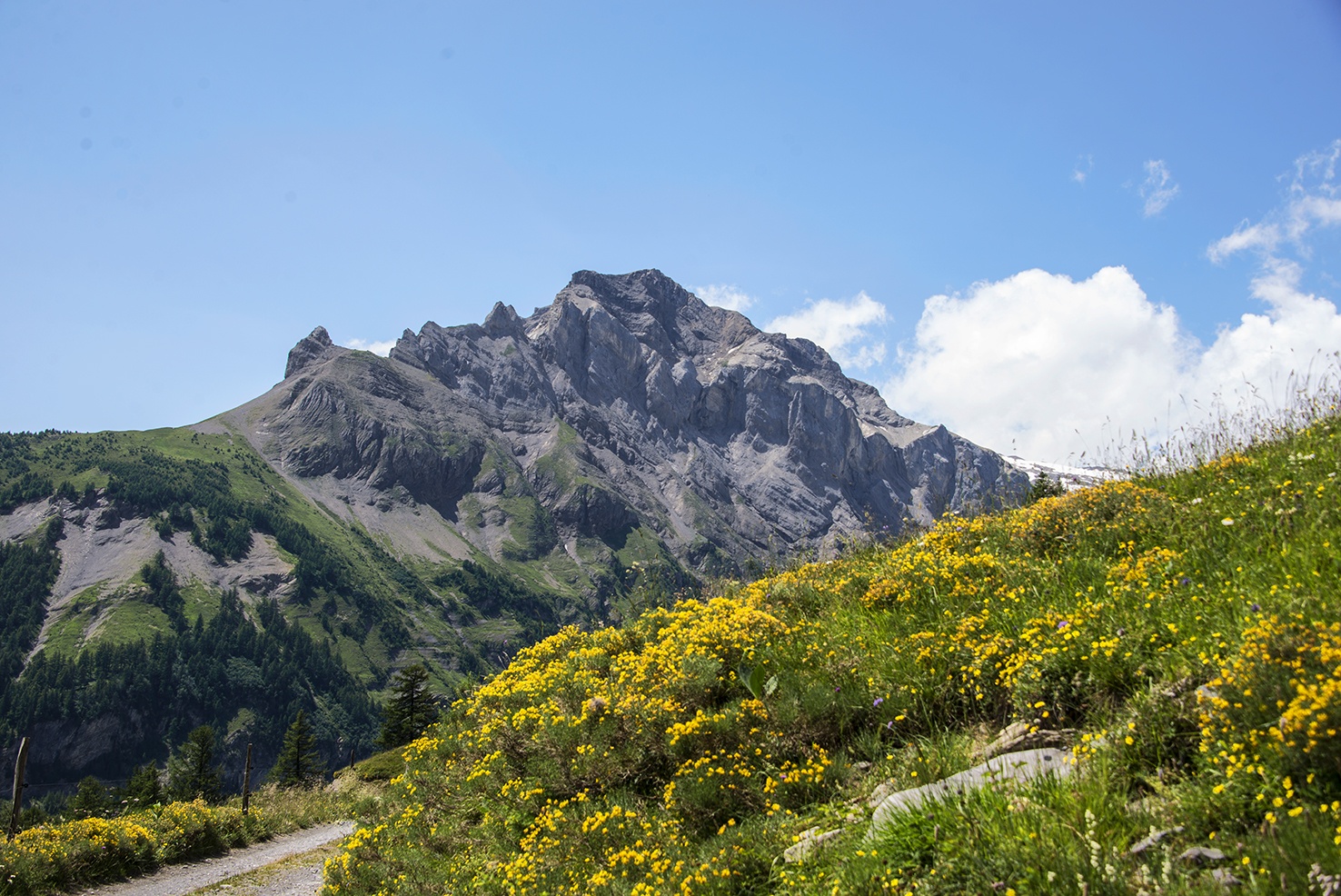
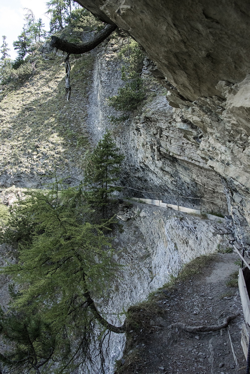
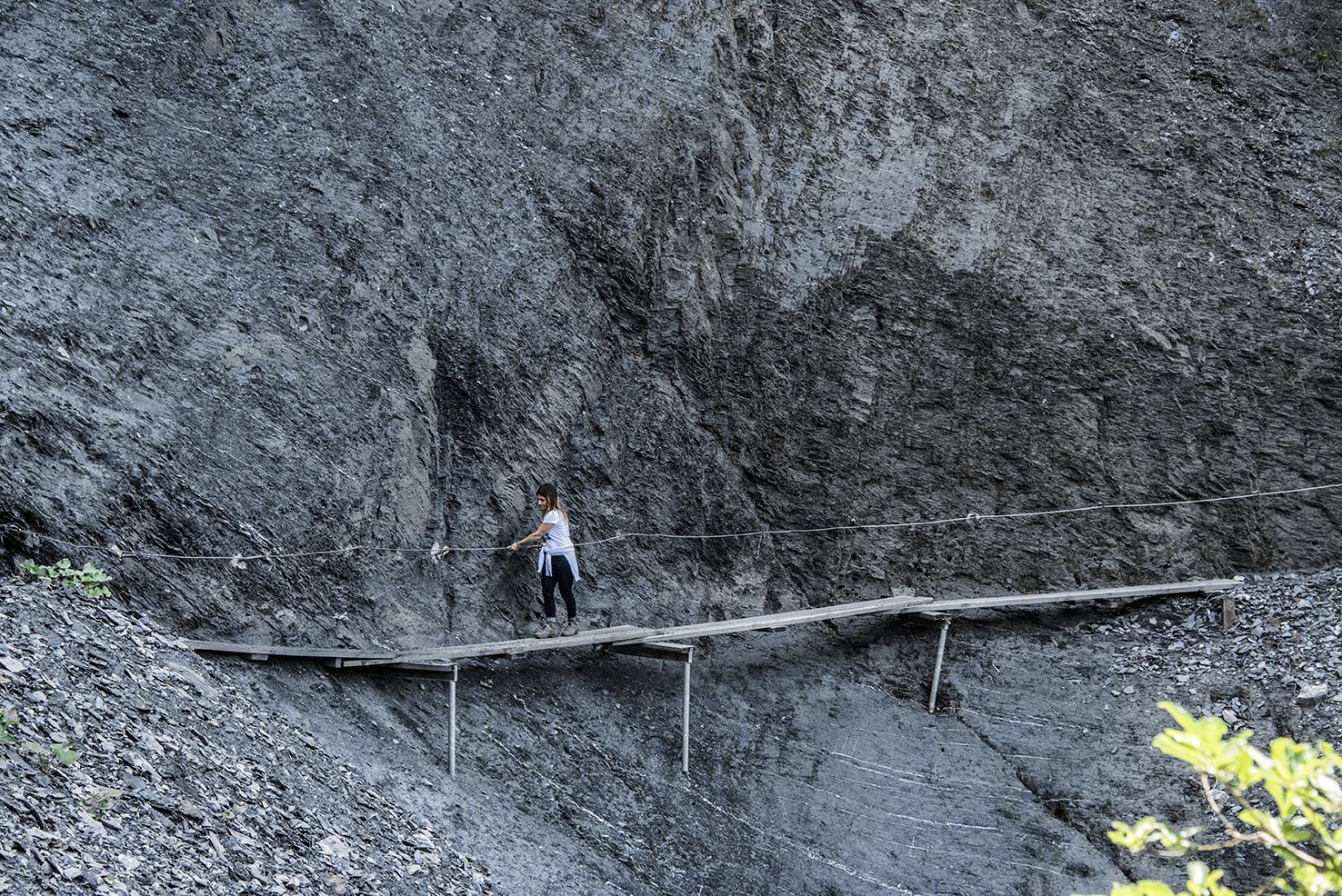
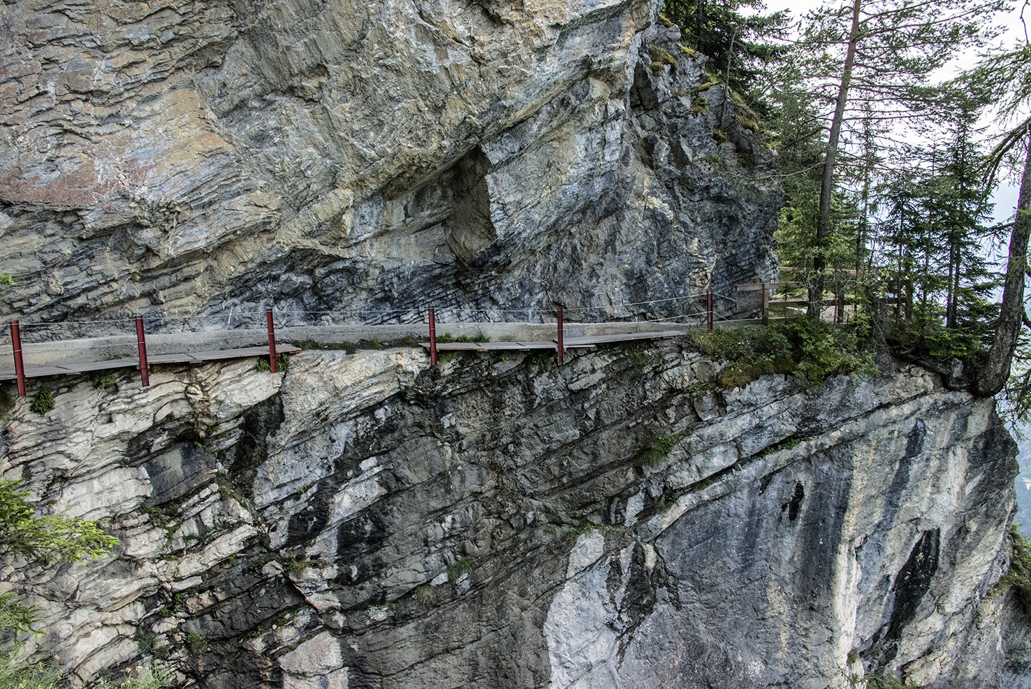
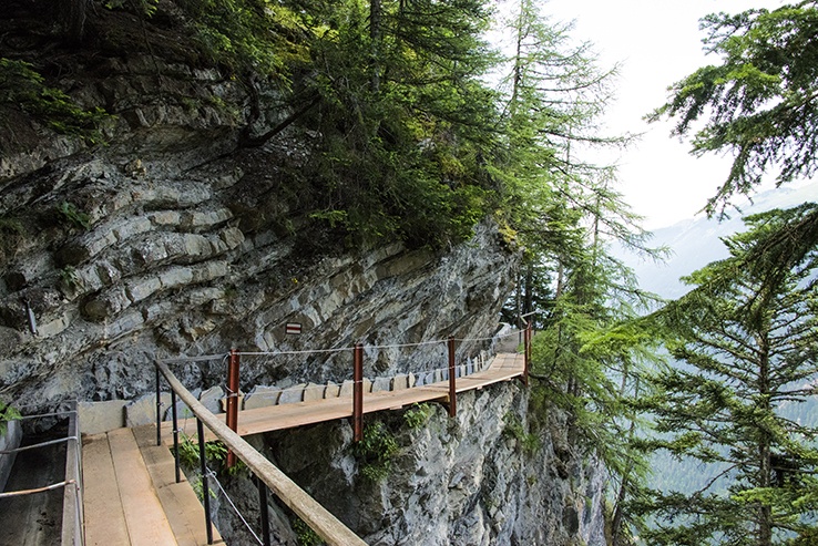
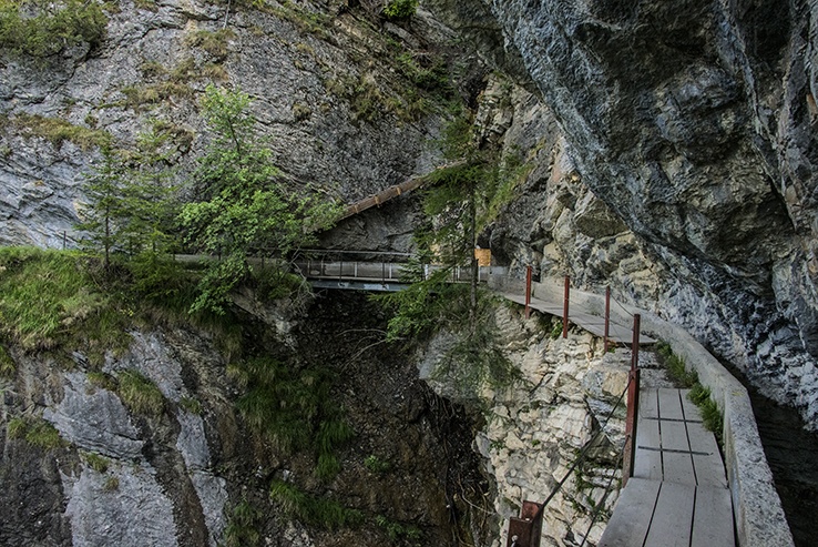
Le bisse du Ro est spectaculaire et traverse des falaises vertigineuses. Les passages délicats sont sécurisés avec une main courante uniquement ! Déconseillé aux personnes souffrant du vertige.
Informations pratiques
A la prise d’eau du bisse, vous pouvez rejoindre : le barrage de Tzeusier, Bellalui, Icogne ou Lens. Des panneaux indicateurs signalent les itinéraires respectifs.
Très beau parcours mais très impressionnant. Mieux vaut avoir le pied sûr pour le parcourir. Le fréquenter uniquement par temps sec et durant la belle saison. En hiver il est fortement déconseillé de s’y aventurer.
Depuis la prise d’eau du bisse, pour rejoindre le lac de Tzeusier, il y a 400 mètres de dénivellée positive et 200 mètres de dénivellée négative. Pour Bella Lui, il y a 600 mètres de dénivellée positive. Pour rejoindre Lens ou Icogne vous avez 6 à 800 mètres de dénivellée négative.
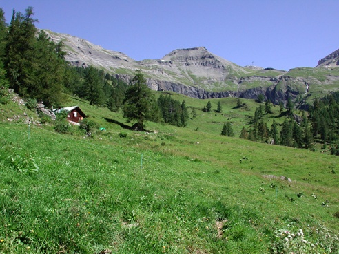
Après la prise d’eau du bisse, vous trouverez de très beaux endroits pour pique-niquer.
Crans-Montana est desservi toute l’année par des transports publics. Pour le barrage de Zeuzier (ou lac du Rawyl), les transports publics sont effectifs uniquement en été.

Itinéraire
Départ et intinéraire
Depuis Crans-Montana, le parcours débute à la hauteur de l’angle nord-ouest de l’étang de Grenon et de la bifurcation des routes du Rawyl et de Fleurs des Champs. Un nouveau pont suspedu spectaculaire à été construit en 2020.
Depuis Tzeusier, traverser le mur du barrage et suivre le balisage « bisse du Ro » par la route des Alpages et engagez-vous sur le bisse en direction de Plan Mayens. Suivez le bisse jusqu’au barrage de Tzeuzier ou Plan Mayens.