
Central Valais
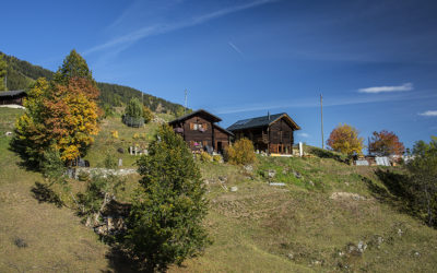
Val d’Hérens 3 bisses loop
LocationVal d'Hérens on the left bank of the Rhône. Departure from Mâche after Hérémence, towards the Dixence dam.DescriptifThe Ernaya bisse dates from the 14th century, that of Hérémence from 1440 and the route of the Bisse d'Euseigne was modified in 1963 following a...
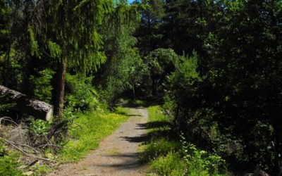
Petit Bisse
LocationThe Grande Zour (Savièze) region, Mayens de My, Conthey, to the right of the Rhône above Naters. DescriptifBuilt in the fifteenth century and still containing water, the Petit Bisse is walked in a loop with the Bisse de la Tsandra.Total length4 km.Walking...
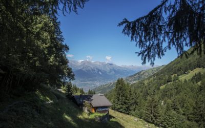
Big bisses trail
Locationleft bank of the Rhône, the route runs along the plain between 700 and 1,800 meters above sea level from Martigny to SierreDescriptif5 stages from the Col des Planches (above Martigny) to Grimentz (Val d'Anniviers) via the bisses of Saxon, du Milieu, Vex,...
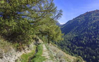
Grand bisse de St Luc et bisse Roux
LocationVal d’Anniviers above the village of St LucDescriptifThese two irrigation channels date from the end of the 16th century. Abandoned and then rehabilitated in 2023, they once again serve an agricultural function.Total lengthabout 8 kmWalking timeabout 2...
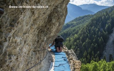
Circuit of 3 bisses
LocationVercorin, Val d'Anniviers, Gorges of NavizenceDescriptifFrom Vercorin via the abandoned route of the old Saracen irrigation channel. For safety reasons, you must be accompanied by a guide. Difficulty similar to a via ferrata.Total lengthApproximately 11...
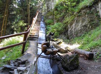
Chemin des bisses – 3 jours de marche
Location-DescriptifThree bisses from the village of Levron to Mayens de Sion via the Saxon bisse, the Vieux or the Middle and finally the grand bisse de Vex.Total length-Walking time-Altitude-National hiking map 1:50’000 no. 282 T Martigny and no. 273 T MontanaBest...
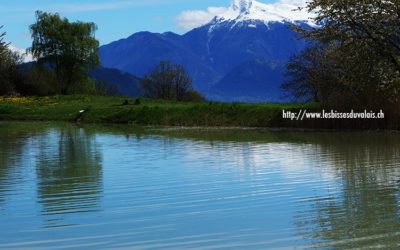
Bisses du Tsanpé et Déjore
LocationTo the right of the Rhône, in the Mayens de Binii area of Savièse. DescriptifThe two irrigation channels (bisses) date from the 13th century and form a loop from the Etang des Rochers in Binii (Savièse). Due to avalanche-related problems, the water intakes are...
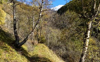
Bisses Ossona and Sevanne
LocationVal d'Hérens on the left bank of the Rhône. Departure from parking P2 on the road to Ossona.DescriptifThe Ossona and Sevanne irrigation channels are part of a pilot project by the Swiss Confederation to rehabilitate rural housing. The Ossona channel was...
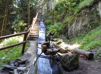
Bisse Vieux
LocationHaute-Nendaz, Lavantier to the left of the Rhône. DescriptifBuilt at the beginning of the 17th century. A beautiful, shady area on hot days.Total length7 kmWalking timeApproximately 2 hours. If you walk the loop with the Bisse du Milieu you should plan between...
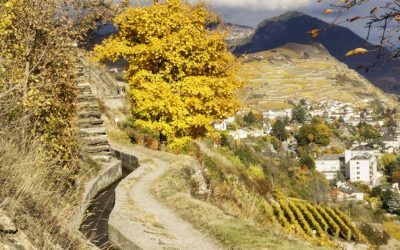
Bisse Siphon
LocationMont d’Orge above Sion to the right side of the RhôneDescriptifBuilt in 1935, it is unfortunately canalized.Total length1 kmWalking timeApproximately 2 hours in a loop with the Bisse de Mont d’OrgeAltitudeBetween 700 and 650 metresNational hiking map 1:50’000...
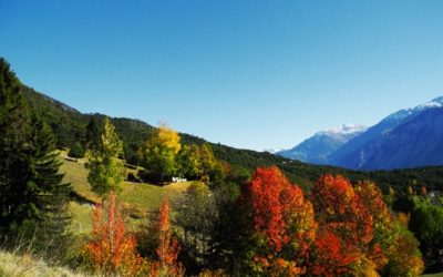
Bisse Neuf ou Bénou
LocationVenthône, above Sierre to the right of the Rhône.DescriptifThe end of the Bisse Neuf and the beginning of the Bisse de Varen are located on the linguistic border of Valais, separated by the Raspille. It is possible to make a loop by combining the Varen and...
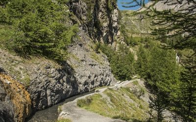
Bisse du Tsittoret
LocationCrans-Montana, les Violettes and Aminona to the right side of the Rhône above Sierre.DescriptifBuilt in the 15th century, this irrigation channel originates from the Tièche river, which becomes the Raspille, and separates the two linguistic regions of the...
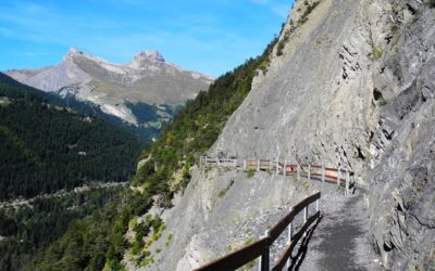
Bisse du Torrent Neuf/Savièse
LocationSavièse, to the right of the Rhône, above SionDescriptifBuilt at the beginning of the 15th century, this irrigation channel is also known as the "Torrent Neuf irrigation channel" and features a spectacular route through vertiginous walls.Total...
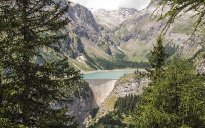
Bisse du Ro
LocationBetwen Crans-Montana and the Tzeusier Dam to the right of the RhôneDescriptifBuilt in the 14th century, it was fully canalized in the mid-20th century. Informative panels explaining the social organization and irrigation rules mark the route of this...
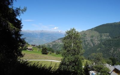
Bisse du Poteu
LocationChamoson, to the right of the Rhône, above the village of GrugnayDescriptifThis bisse dates from the nineteenth century. It has been restored with water flowing along its path again. It is suitable for push-chairs. Total lengthApproximately 1.3 km.Walking...
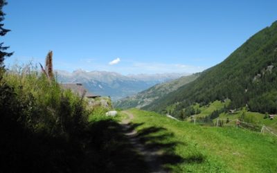
Bisse du Milieu
LocationHaute-Nendaz, Planchouet, to the left of the Rhône.DescriptifAt the beginning of the 18th century, this irrigation channel not only had an agricultural function, but was also used as a source of energy for sawmills and mills.Total length5 km.Walking time3...
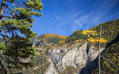
Bisse des Sarrasins
LocationBetween Pinsec and Vercorin, to the left of the Navizence, in the Val d’AnniviersDescriptifBisse dating from the 15th century and surrounded by legends. Read about it in Joseph Henriet's book "Our Ancestors the Saracens of the Alps" which demystifies the...
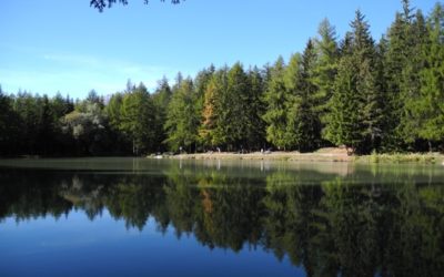
Bisse des Miriouges
LocationCrans Montana, to the right of the Rhône.DescriptifNo particular difficulty. Bordered by a good path but difficult for people with reduced mobility and accessible to walkers with a stroller.Total length2.5 km.Walking timeApproximately 1 hour.AltitudeBetween...
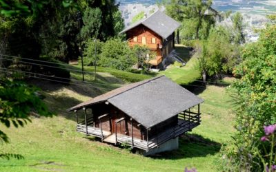
Bisse de Vex
LocationPlanchouet, Veysonnaz, Mayens de Sion, to the left of the Rhône.DescriptifBuilt in the early 15th century, this irrigation channel is entirely filled with water. Also known as the "Grand Bisse de Vex". Accessible by stroller or for people with reduced...
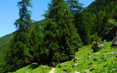
Bisse de Vercorin
LocationVercorin, to the left of the Rhône.DescriptifBuilt at the end of the fourteenth century, this bisse contains water throughout the year and offers a magnificent walk.Total length14 km for the complete version (version 1), including the return trip.Walking...
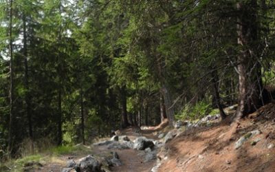
Bisse de Tsa-Crêta
LocationMayens des Praz above Mase in the Val d’Hérens, to the left side of the Rhône.DescriptifBuilt during the 14th century and restored in the mid-2000s. Informative panels explaining the social organization and irrigation rules mark the route of this bisse.Total...
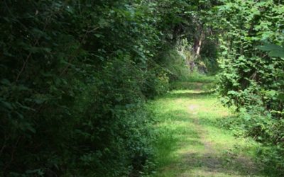
Bisse de St Jean
LocationVal d'Anniviers, Grimentz, St Jean, Mayoux, to the left of the Rhône.DescriptifAlso known as the Grand Bisse, it was long abandoned but was completely restored in 2012.Total length5 kmWalking timeBetween 1.5 and 2 hours.AltitudeBetween 1500 and 1200...
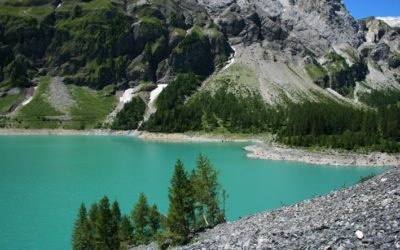
Bisse de Sion
LocationTzeuzier lake and Anzère, to the right of the Rhône.DescriptifBuilt at the beginning of the twentieth century to feed the Sionne and latterly the Bisse de Lentine and the Mont d’Orge lake.Total length14 km.Walking timeBetween 3 and 4 hours.AltitudeBetween 1850...
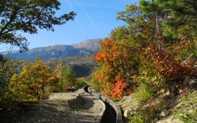
Bisse de Sillonin
LocationThe Lienne valley above St Léonard, to the right of the Rhône.DescriptifBuilt in the 1450s, this irrigation channel is abandoned in its upper section. Very spectacular and impressive. It can be hiked following the Clavau irrigation channel or as a loop with...
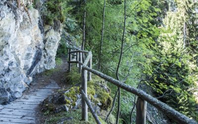
Bisse de Saxon
LocationBetween La Boveresse (above Saxon) and Siviez (Nendaz), to the left of the Rhône.DescriptifBuilt in the 1850s, this is the longest bisse in Valais at 26 km. It is known as the king of the bisses.Total length26 km and 32 km if you begin at the col des...
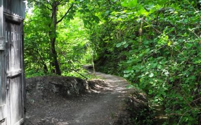
Bisse de Salins
LocationSalins / Veysonnaz, to the left of the Rhône, above Sion.DescriptifDating from the beginning of the fifteenth century this bisse contains water along its entire length.Total length14 km.Walking time4 hoursAltitudeBetween 1000 and 1200 metersNational hiking map...
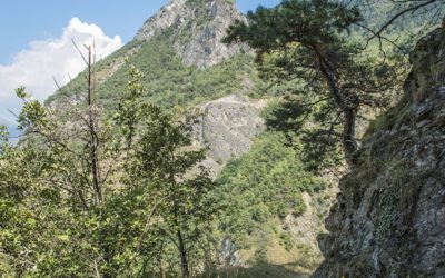
Bisse de Ricard
LocationBetween Réchy and Chippis, to the left of the Rhône.DescriptifBuilt in the fifteenth century, this bisse offers a magnificent trail above the Rhône valley.Total length7 km.Walking time2 hours without the return trip.AltitudeBetween 650 and 700 metres.National...
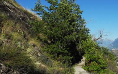
Bisse de Mont d’Orge
LocationMont d’Orge, above Sion, to the right of the Rhône.DescriptifBuilt in the last decade of the nineteenth century, this bisse can be walked in a loop with the Bisse SiphonTotal length3 km.Walking time2 hours in a loop with the Bisse Siphon.AltitudeBetween 550...
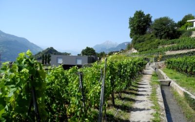
Bisse de Lentine
LocationDiolly, above Sion, to the right of the Rhône.DescriptifBuilt around 1860, this bisse crosses the vineyards above Sion in the Diolly area. The trail can be extended by continuing to the Bisses de Mont d’Orge and Siphon.Total length4 km for the Bisse de Lentine...
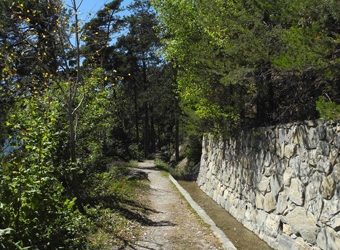
Bisse de Lens
LocationChermigon d’En Bas, Lens, Christ-Roi to the right of the Rhône.DescriptifBuilt in the 1450s. It is also called the Grand Bisse de Lens.Total length14 km.Walking time3 hours (without the return trip)AltitudeBetween 950 and 1150 metres.National hiking map...
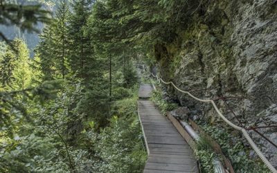
Bisse de la Tsandra
LocationMayens de My and Conthey, to the right of the Rhône.DescriptifBuilt during the 15th century, it flows partly in the open air and partly through a channel. Informative panels mark the route of this irrigation channel.Total lengthApproximately 11 km.Walking...
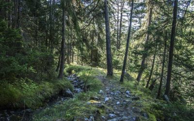
Bisse de Grimisuat
LocationSituated in the districts of Ayent and Grimisuat, to the right of the Rhône.DescriptifThis bisse forms part of the large water management system which includes the Bisse de Sion and the Bisse d’Ayent. It contains water for most of the year.Total length4...
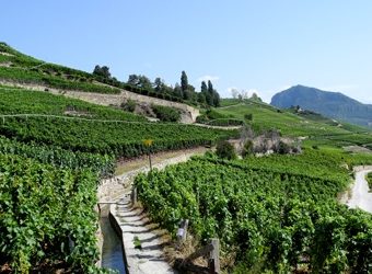
Bisse de Clavau
LocationMolignon, between Sion and St Léonard, to the right of the Rhône.DescriptifA magnificent low-altitude walk, accessible all year round. Captivating panoramic views of the Alps and the plain with the spectacular terraced vineyards typical of the Valais...
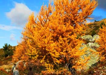
Bisse de Chervé
LocationBetween Thyon 2000, Combatseline and the Cleuson Dam on the right side of the Rhone.DescriptifBuilt in 1862, this bisse has been abandoned but the path is still accessible and marked. It is located to the left of the Rhône between Siviez (Super-Nendaz) and the...
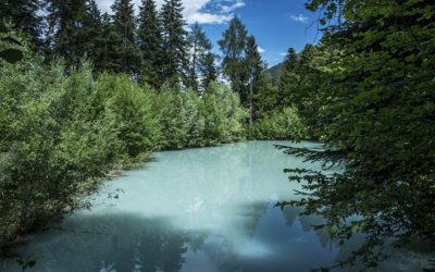
Bisse de Briey
LocationThis bisse is located on the left bank of the Rhone between Briey and VercorinDescriptifThis irrigation channel is very short. It begins near the Bouillet chapel and the section that can be walked ends at the Foncouverte shelter. Its water intake crosses and...
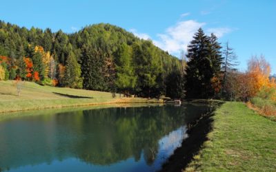
Bisse de Bitailla
LocationLocated in the Sionne valley to the right of the Rhône above Arbaz and Ayent.DescriptifThis bisse dates from the fourteenth century. It has the particularity of containing water throughout the year and irrigates a vast territory in the district of Ayent...
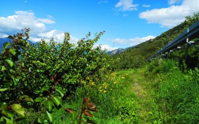
Bisse de Baar
LocationBaar and Brignon are both in the locality of Nendaz, to the left of the Rhône.DescriptifThe Bisse de Baar dates from before 1450 and situated to the left of the Rhône above Sion. It starts below Brignon castle and finishes above Turin. This bisse can form a...
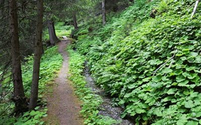
Bisse d’En Bas
LocationLocated at Nendaz between Saclentse and Planchouet to the left of the Rhône.DescriptifThe construction date for this bisse is disputed by historians with some citing dates around 1390 and others claiming 1753 !Total length4 kmWalking time1.5 hours (without the...
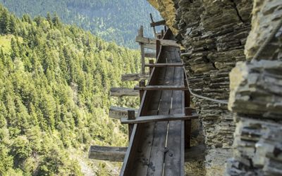
Bisse d’Ayent
LocationTo the right of the Rhône, between the Zeuzier Dam and the Mayens d’Arbaz.DescriptifBuilt in 1442, it crosses the municipalities of Ayent and Grimisuat. It can also be the continuation of the Ro irrigation channel which starts from Crans or be made into a loop...