
Upper Valais
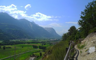
Obere et Untere Wasserleitung
LocationGampel, to the right of the Rhône above Naters. DescriptifBisse built around 1450 above Gampel. It's a magnificent walk to do in a loop with the Untere Wasser.Total lengthApproximately 5 km.Walking timeApproximately 2hours in a loop with the Untere...
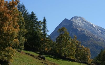
Heuvete/Moosgufer
LocationSaas-Almagall in the Saastal to the left of the Rhône above Viège (Visp). Descriptif A mineral, calm and pleasant route in a wild environment. Total length5 kmWalking timeApproximately 2 hoursAltitudeBetween 1800 and 1650 metres.National hiking...
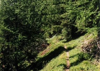
Giesch-Tatz Suön und Ladu Suön
LocationHohtenn on the eastern slopes of the Lötschental above Gampel to the right of the Rhône.DescriptifThe five irrigation channels (bisses) along this route are often underground, but the flora and fauna are abundant. You are in a free zone of the Swiss...
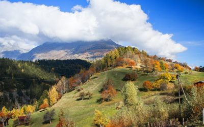
Bisses de Trusera and Wuhr
LocationErnen, to the left of he Rhône, Valley of Conches (Goms)DescriptifThese two irrigation channels form a loop with the Wuhr channel below the village of Ernen and then the Trusera channel, rehabilitated in 2006, above Mühlebach.Total lengthApproximately 10...
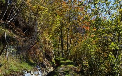
Bisses de Stägeru et Lüegjeru
LocationTo the right of the Rhône, above Niedergesteln and Gampel.DescriptifThese two bisses are walked in a loop. The Stägeru dates from the mid-sixteenth century. The Lüegjerus' water source has been abandoned and it is now fed by the Stägeru.Total...
Bisses de Niwärch and Görperi
LocationAusserberg above Visp to the right of the Rhône.DescriptifBuilt in 1915 to replace the old Niwa irrigation channel. Observe the remains of the irrigation channel warden's hut and the vertigo-inducing footbridges.Total lengthApproximately 15 kmWalking...
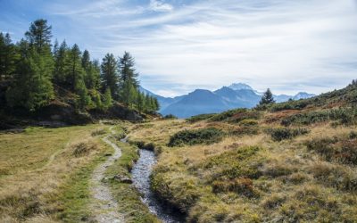
Bisses de Nessjeri/ Oberschta/ Stigwasser
LocationBelalp above Blatten, Birgisch and Mund, to the right of the Rhône above Naters. DescriptifThe Stigwasser and Oberschta rivers were built during the 13th century. The Nessjeri, on the other hand, dates from the 15th century. It's worth noting that the Nessjeri...
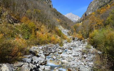
Bisses de Laldneri et Wiigartneri
LocationTo the right of the Rhône, above Viège (Visp) and Baldscheider.DescriptifThese two bisses are walked in a loop. The Ladneri dates from the very beginning of the fourteenth ventury and the Wiigartneri from the end of the same century. Both contain water and...
Bisses de Grächen
LocationThe Grächen area in the Saas valley to the left of the Rhône.DescriptifThe slopes of the village of Grächen are irrigated by five parallel bisses which take water from the Riedbach river. They were all built between the sixteenth and seventeenth centuries....
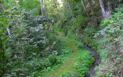
Bisses de Ergisch et Fätschi
Location In the Tourtemagne valley to the left of the Rhône.Descriptifshaded and quiet pathTotal lengthApproximately 10 km for both bisses in a loop.Walking timeabout 4 hoursAltitudeBetween 950 and 1350 metres.National hiking map 1:50’000 274 T Viège (Visp)Best...
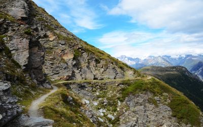
Bisse du Heido
LocationTo the left of the Rhône, Visperterminen above Viège (Visp) and the NantztalDescriptifA magnificent walk above Visperterminen, birthplace of the famous Heida (Pagan) wine. A timeless stroll with views of the Fletschhorn, the Bietschhorn, the Aletschhorn and a...
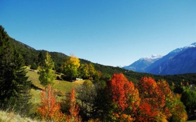
Bisse de Varone (Varen)
LocationThe region of Planige above Miège, to the right of the Rhône.DescriptifThis bisse irrigates a particularly aride area that has suffered major prehistoric geological disturbances in the form of land and rock-slides, proof of which is offered by the hills of...
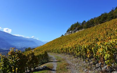
Bisse de Mengis
LocationTo the right of the Rhône, above Salquenen. DescriptifA magnificent walk above Varen, but which remains hot, very hot, even in the middle of summer.Total lengthApproximately 3 km.Walking time1.5 hours roundtrip (in a loop with the Bisse de Varen 4...
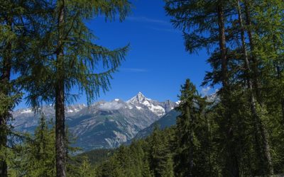
Bisse de Bodmeri – Niwa
LocationVisperterminen, to the left of the Rhône, above Vsp.DescriptifThis bisse dates from 1915 and was built to replace the original Bisse de Niwa. At the end of the trail of the Bodmeri, one can visit the guardian’s hut for the Bisse de Niwa and follow the...
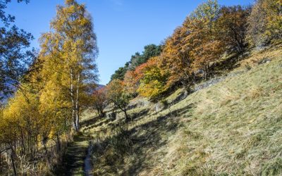
Bisse de Beitra
LocationVisperterminen, to the left of the Rhône, above Visp DescriptifDating from 1440, this irrigation channel has recently been refilled with water, utilizing ancestral construction techniques.Total lengthApproximately 6 kmWalking timeApproximately 2...
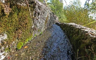
Bisse de Badneri
LocationUpper-Valais between Visp and BrigerbadDescriptifThe Badneri bisse was elected bisse of the year 2023. It dates from before the 15th century and was rehabilitated in 2022.Total lengthabout 5 kmWalking timeabout 2 hoursAltitudebetween 641 and 1118 meters above...
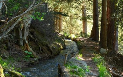
Alte Suon/ Meigger suon
LocationBürchen is located to the left of the Rhône, above Viège (Visp).DescriptifThese two irrigation channels form a loop. A lovely, uncrowded walk.Total lengthabout 12 kmWalking timeabout 4 hoursAltitudeBetween 1660 and 1900 m.National hiking map 1:50’000 274T...