Alte Suon/ Meigger suon

Location
Bürchen is located to the left of the Rhône, above Viège (Visp).

Descriptif
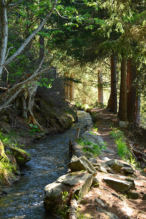
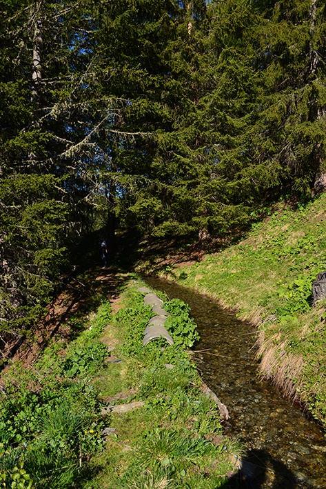
These two irrigation channels form a loop. A lovely, uncrowded walk.

Total length
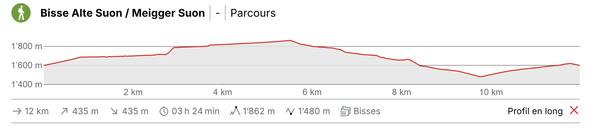
about 12 km

Walking time
about 4 hours

Altitude
Between 1660 and 1900 m.

National hiking map 1:50’000
274T Viège.

Best period
May to October.
These bisses contain water from late May to late October.

Difficulty
T2 – T3
Useful information
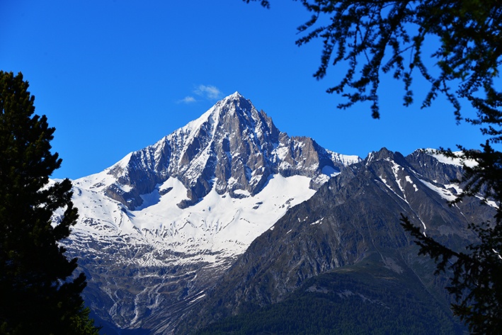
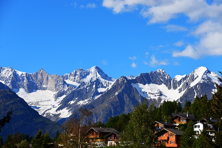
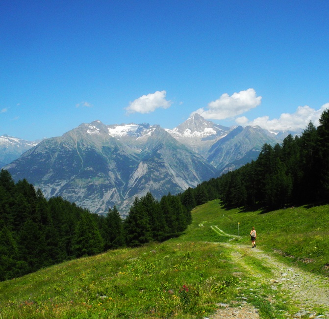
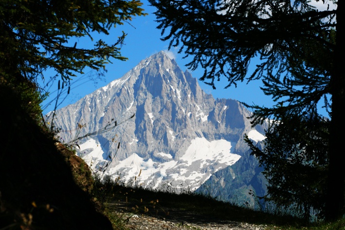
This is a very beautiful and relatively little used trail. There is an area of mountain pasture where the water enters the bisse which is ideal for a picnic with a marvellous view of the Bietshorn and the Bernese Alps.
Itinerary
Departure
When you arrive in the village of Bürchen, continue your ascent in the direction of Garlich. At an intersection in the road (1600 altitude) turn right and follow the sign-post for Ronalp/Alte Suon (GPS 46°16’10’’ N 7°49’34’’ E). Continue to climb a little until you reach the beginning of the bisse. Alternatively, you can join the bisse at the « Egga” bus-stop, which can be found at the top of the village of Bürchen after Gärlich. From the « Egga” stop, the trail for the bisse begins to the left of the road, 20 metres below the bus-stop (GPS 46°16’19’’ N 7°49’54’’ E)
Itinerary
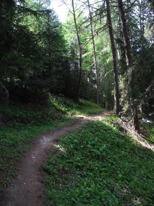
From Egga, follow the bisse through an area of chalets and meadows and you will find yourself, quite quickly, entering the magnificent forest of Bürchen. After about an hour of walking, as you cross the Laubbach stream, the bisse drops by 60 metres. Climb in a zig-zag along the waterfall and continue until the water re-enters the bisse passing through a wonderful forest.
To return you follow the Meigger Suon which flows 40 metres below (GPS 46°15’38’’N 7°46’51’’ E). Follow the path which doesn’t always adhere to the bisse but remains visible below. When you arrive at Brandalp, follow the partly tarmac road as it descends towards Bürchen (GPS 46°16’25’’ N 7°47’58’’ E) and then the wide forest track which ascends towards your point of departure (GPS 46°16’38’’ N 7°48’54’’ E).