Bisses de Ergisch et Fätschi

Location
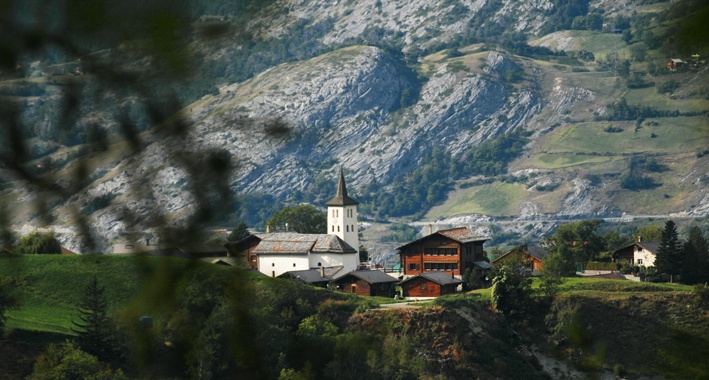
In the Tourtemagne valley to the left of the Rhône.

Descriptif
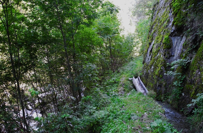
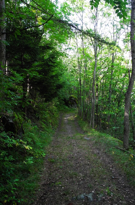
shaded and quiet path

Total length
Approximately 10 km for both bisses in a loop.

Walking time
about 4 hours

Altitude
Between 950 and 1350 metres.

National hiking map 1:50’000
274 T Viège (Visp)

Best period
May to October. These two bisses contain water from early June to late September.

Difficulty
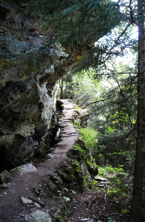
There are no particular difficulties apart from a few steep stretches. Not suitable for those suffering from a fear of heights.
Useful information
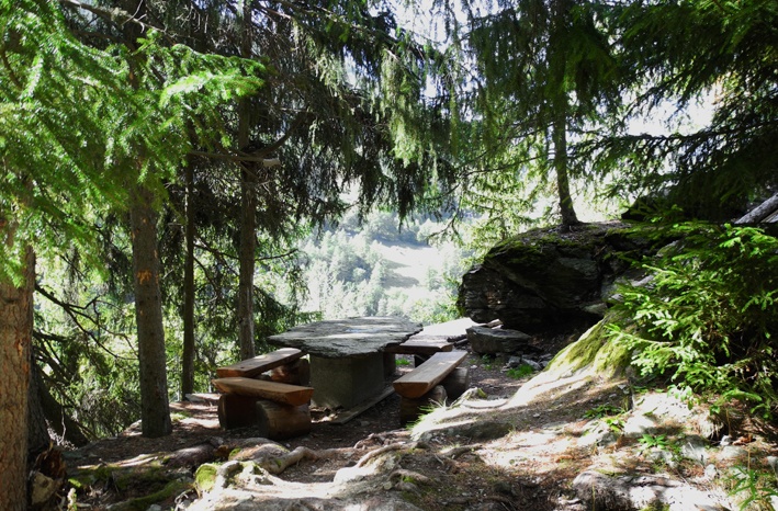
On the trail of the Bisse de Ergisch there is a lovely picnic place and there are two benches on the climb towards Ergisch from where the Bisse to Fätschi takes water.
A shady and very quiet trail. To reach the Bisse d’Ergish, there is a 200 metre climb. From where the Bisse d’Ergish takes water until the start of the Bisse de Fätschi, you have a 500 metre decline. This is followed by a 200 meters incline to reach Ergish from where the Bisse de Fätschi takes water.
During the descent along the river, there are several bifurcations. Always follow the river until the sign “Fätchi suone”.
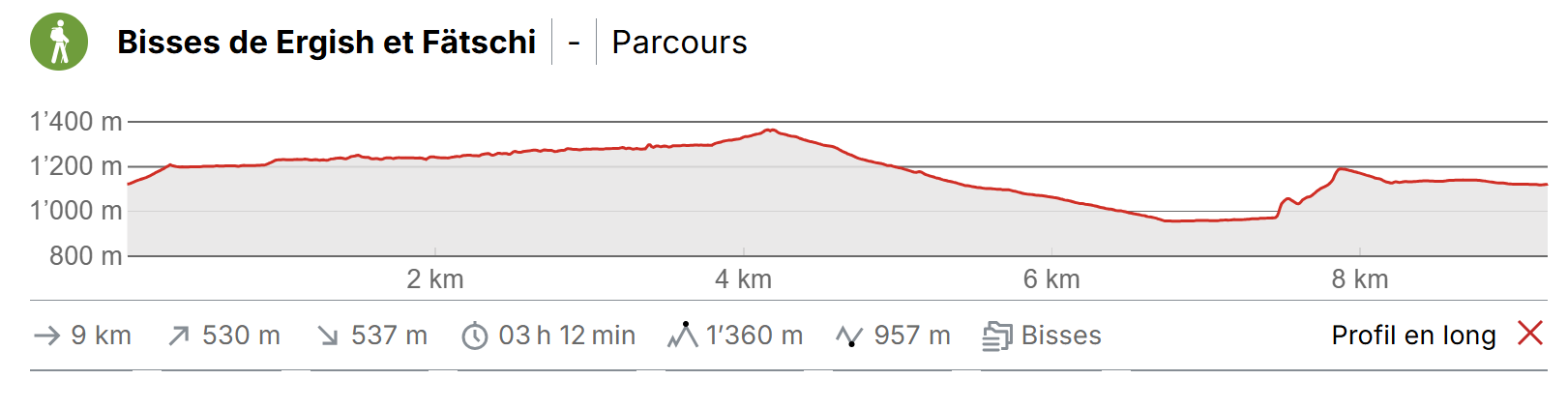
Itinerary
Departure
From Tourtemagne, go to the centre of the village of Ergisch. From here, follow the sign-posts for “Wasserleite” on a very steep path until you reach the bisse at 1200 metres altitude.
Itinerary
Follow the bisse to where it takes water and cross the bridge. Make your way down the path along the river following the sign-posts for Unterems and, later, Ergisch until you reach the Bisse de Fätschi (alt. 950 m.). Follow the bisse uphill for about 1.5 km as far as a bridge, which you cross before heading uphill following the sign-posts towards Ergish.