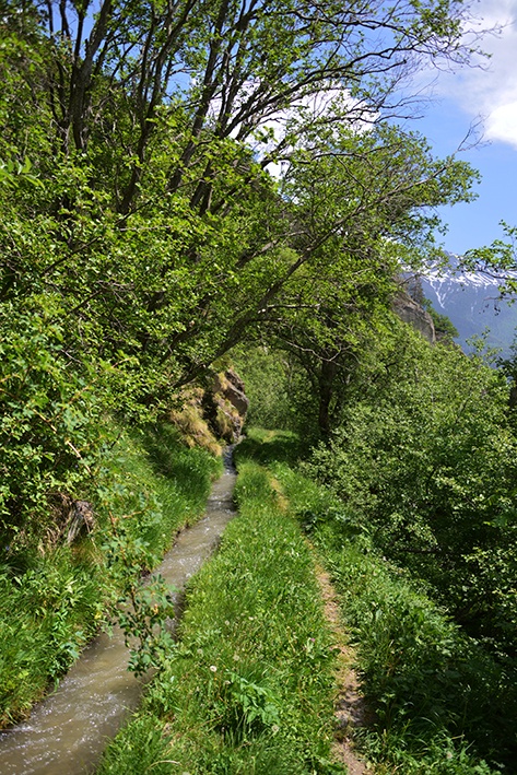
Bisses de Nessjeri/ Oberschta/ Stigwasser

Location
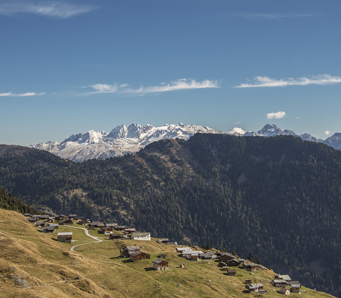
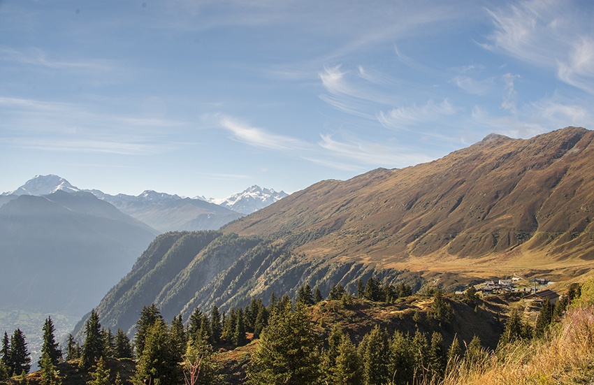
Belalp above Blatten, Birgisch and Mund, to the right of the Rhône above Naters.

Descriptif
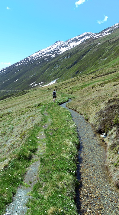
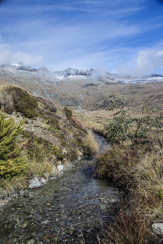
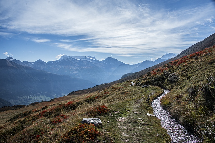
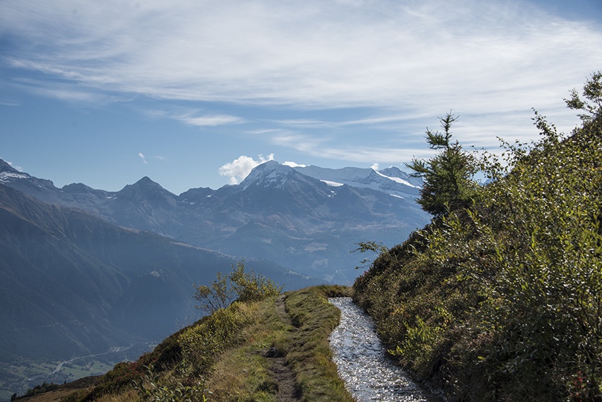
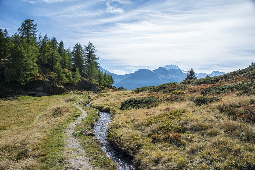
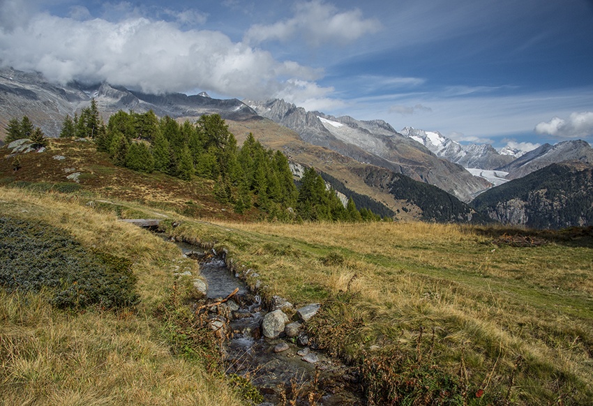
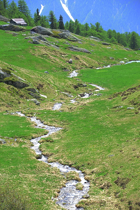
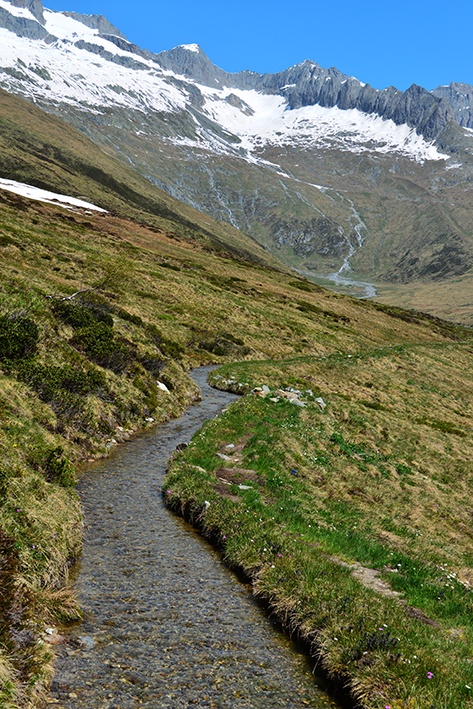
The Stigwasser and Oberschta rivers were built during the 13th century. The Nessjeri, on the other hand, dates from the 15th century. It’s worth noting that the Nessjeri flows above 2,000 meters, which is unusual.

Total length
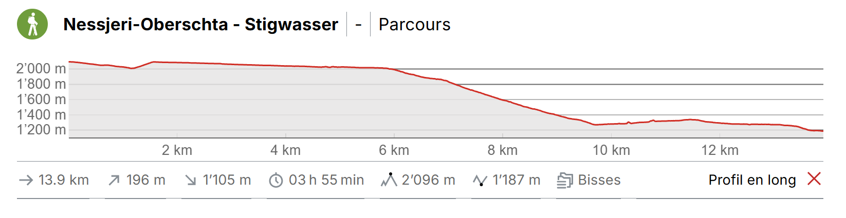
15 km (Nessjeri 10 km, Oberschta 3 km, Stigwasser 2 km)

Walking time
Between 4 and 5 hours, depending on walking ability and the number of breaks you take

Altitude
Between 2200 and 1250 metres.

National hiking map 1:50’000
274 T Viège (Visp)

Best period
June to September.

Difficulty
A difficult trail. There is approximately 1000 metres altitude difference of downhill walking to reach the Oberschta and the Stigwasser.
Useful information
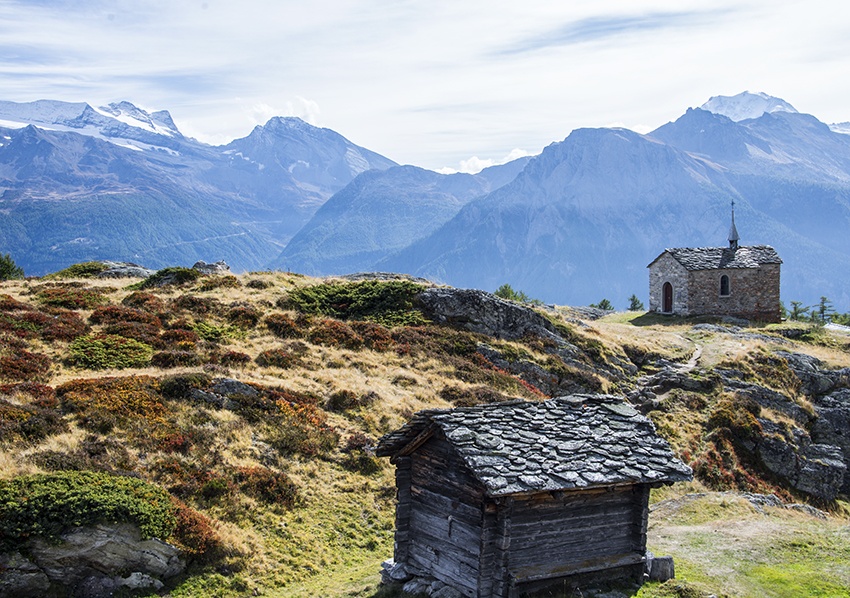
On the Nessjeri trail, when you arrive at Nessel, visit the little chapel and its seventeenth century altarpiece.
A very varied trail for good walkers. The Nessjeri is situated above 2’000 metres altitude and it can be quite cold, even in summer
All along the trail there are many suitable picnic spots.
Itinerary
Departure
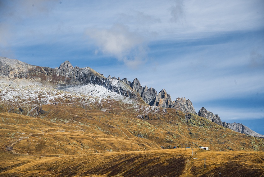
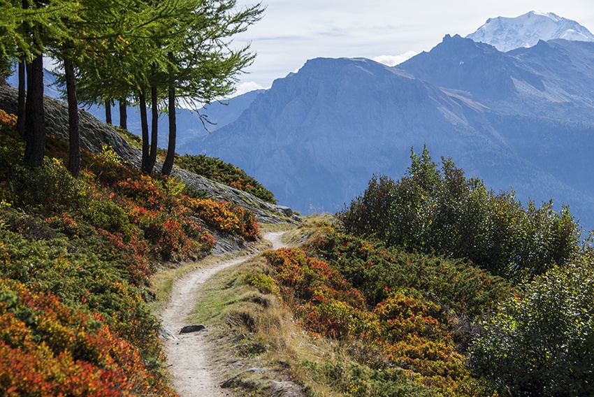
From the train station in Brig, take the bus to Blatten above Naters. When you arrive take the cable car to Belalp. From the arrival of the cable car, turn left onto the passable non-tarmac road descending west to reach the Nessjeri, the trace of which you can clearly see on the eastern face of the Foggenhorn. When you are at the height of the ski installations cross the alpine meadows heading west. Take care not to go south-west or you will reach the Nessjeri almost at Nessel and will have missed the most beautiful stretch of the trail.
Itinerary
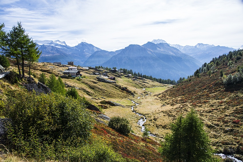
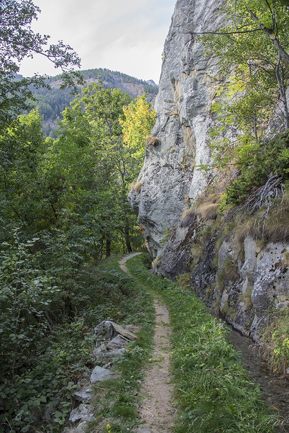
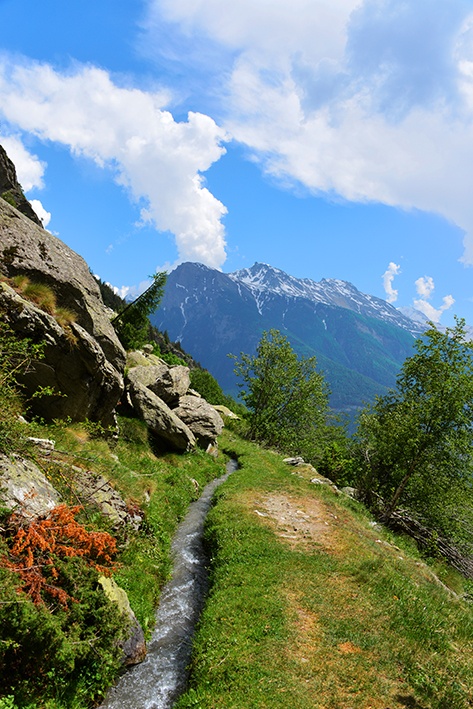
The trail described here starts on the exposed eastern face of the Foggenhorn. You will need to cross the river on a bridge which has had many planks of wood removed to avoid cattle crossing it. If you find yourself crossing a stone bridge, you are about 1 km too far downhill. Once you have crossed the river, follow the path on top of the ridge for about 1 km of fairly steep climbing to reach the Bisse de Nessjeri, which flows south. Until Nessel the path is enchanting. From Nessel, the path doesn’t quite follow the bisse and the descent is challenging as far as the Bisse de Oberschta above Birgisch (about 1000 metres difference in altitude). Follow the Bisse de Oberschta (towards Mund) until it takes water, cross the river and make your way downhill to the Bisse de Stigwasser, which will take you to Tähischinu about 10 minutes on foot above Mund. From Mund, take a bus to Brig. Check the timetables when you are planning your walk.