Bisse de Beitra

Location
Visperterminen, to the left of the Rhône, above Visp

Descriptif
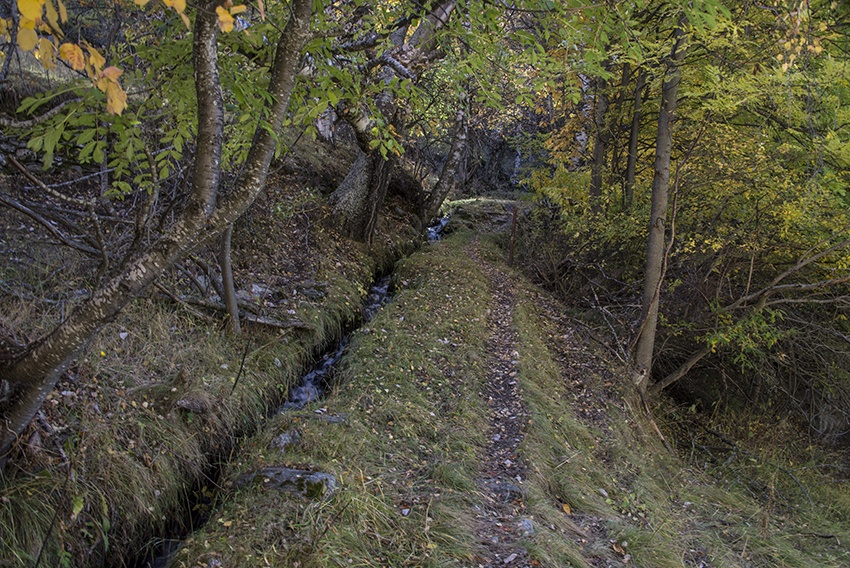
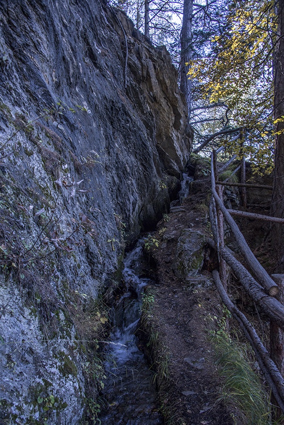
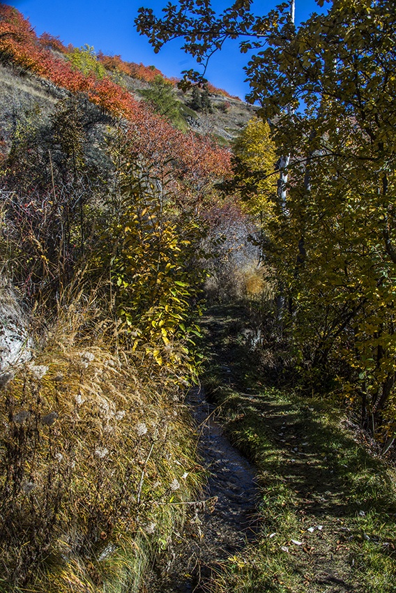
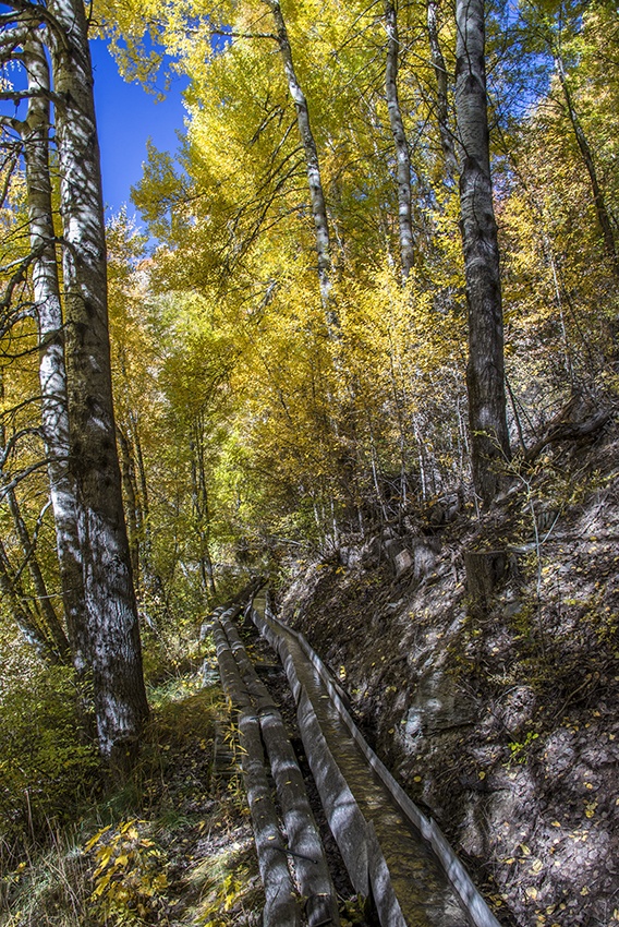
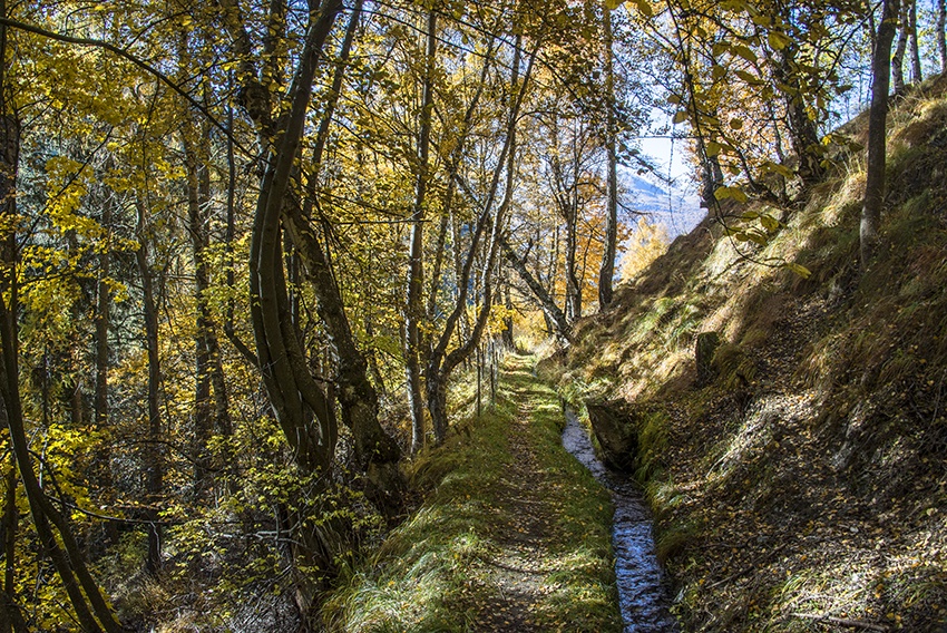
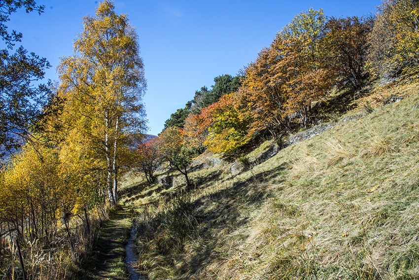
Dating from 1440, this irrigation channel has recently been refilled with water, utilizing ancestral construction techniques.

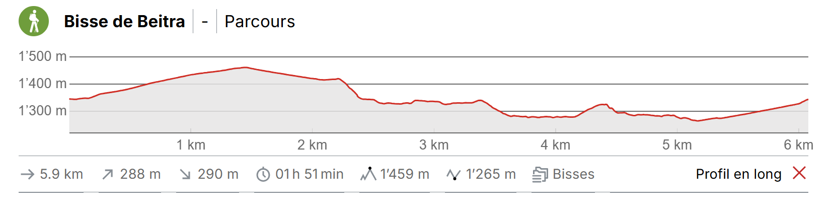
Total length
Approximately 6 km

Walking time
Approximately 2 hours.

Altitude
Between 1300 and 1450 metres.

National hiking map 1:50’000
274 Viège (Visp).

Best period
Mai to October.
It contains water from April to mod-October.

Difficulty
No particular difficulty.
Useful information
This lovely trail can be explored in both directions although it is more comfortable to follow the directions given above. There are many picnic spots along the way.
Itinerary
Start
From the Post Office car park in Visperterminen, follow the signs for Beitra Suon (green stickers on yellow signs) We advise you to complete the loop by passing the hamlet of Birch before descending to reach the point at which the bisse takes water.
Itinerary
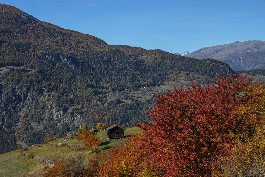
From the car park follow the streets of Heruviertil and Peterlisstadelweg. Follow the tarmac road to Birch. There is no traffic on this road and you will be rewarded with a breathtaking view. Continue following the signs for Beitra Suon until you reach the hamlet of Birch. From here, follow a steep descent to the point at which the bisse takes water. Follow the bisse to Visperteminen.