Obere et Untere Wasserleitung

Location
Gampel, to the right of the Rhône above Naters.

Descriptif
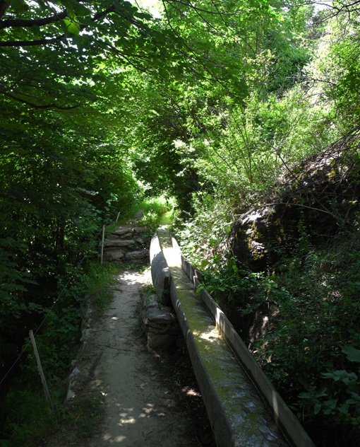
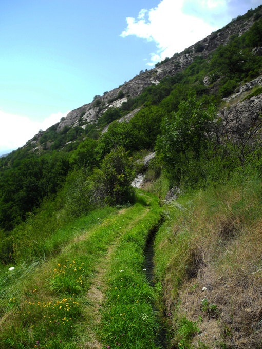
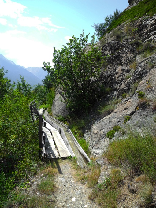
Bisse built around 1450 above Gampel. It’s a magnificent walk to do in a loop with the Untere Wasser.

Total length
Approximately 5 km.

Walking time
Approximately 2hours in a loop with the Untere Wasser.

Altitude
Between 650 and 750 metres.

National hiking map 1:50’000
274 T Viège (Visp)

Best period
All year.
These bisses contain water from 1 April to mid-November.

Difficulty
No particular difficulty.
Useful information
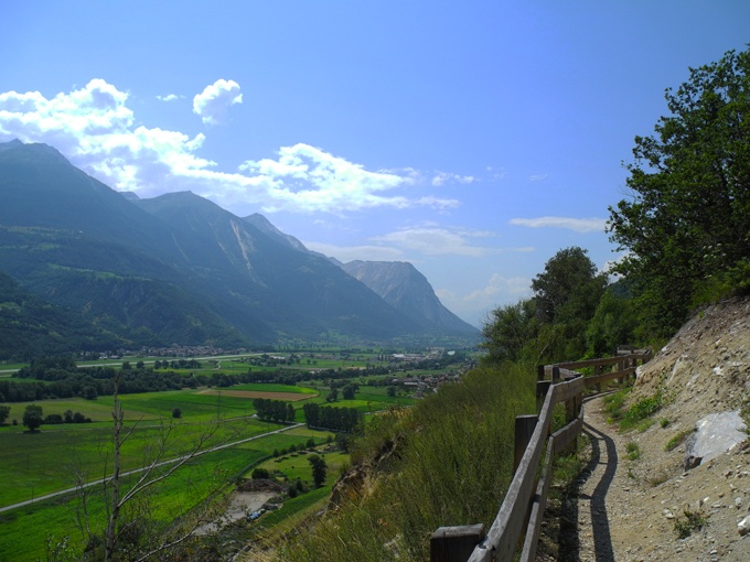
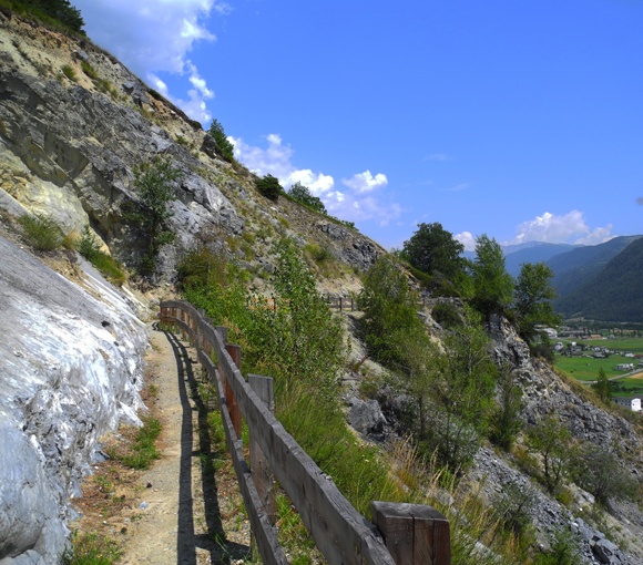
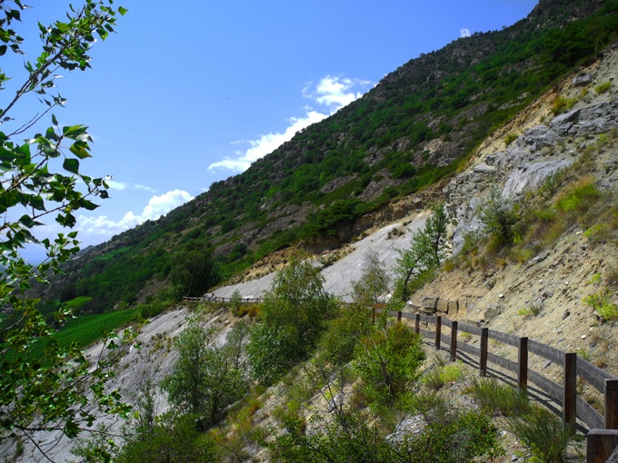
A low-altitude trail which is accessible all year. Sunny and varied, crossing pine forests and dry meadows.
Itinerary
Departure
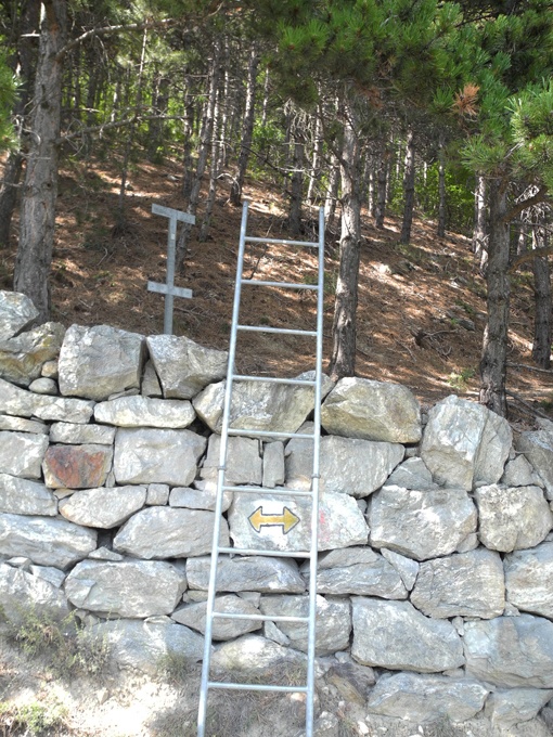
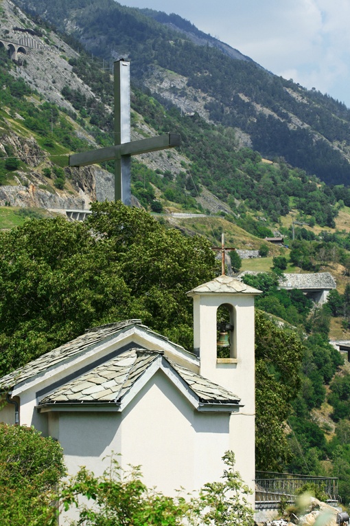
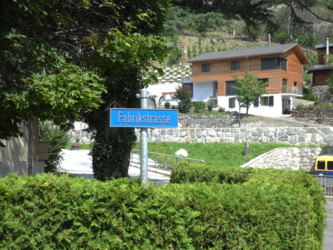
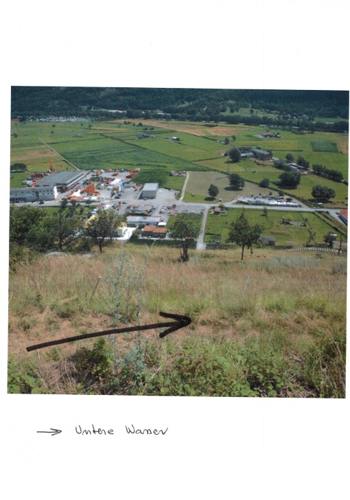
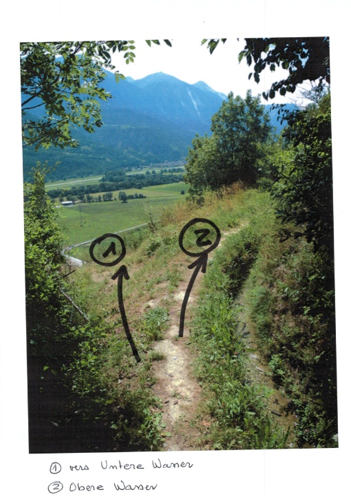
When you arrive in Gampel, head towards the end of the village and take the direction of Jeitzinen via the Fabrikstrasse. In front of the power plant, there is a forest road. Follow the direction Jeitzinen and Untere and Obere Wasserleitung. After a short climb, the path of the bisse crosses a forest road. Do not go up, continue to follow the Untere Wasserleite until it reaches some vinesyards. Follow the very steep path uphill towards Obere Wasserleite. At the top of the vineyards, the path crosses dry meadows uphill to reach the Obere Wasserleite. Follow west 350 meters away, until the path meets vinesyards. Continue along the vineyard route for about 200 meters until the junction with the path of the bisse. The path branches off at the height of the wooden bushels of the bisse and leaves the vineyard route. After a slight ascent and descent, the path joins the bisse. At the end of the bisse, the path joins an agricultural road to follow downhill for about 200 meters until a fork. Continue on the agricultural road below the one followed in an easterly direction. After about 300 meters follow the signs for “pedestrian path”. The route joins the path of Obere Wasserleite. Part of this route follows the route taken on the outward journey to the junction for the Untere Wasserleite. Continue through Obere Wasserleite to the chapel. From this chapel, do not follow the road downhill but the path of the bisse which goes flat towards the North. After about 500 meters, the bisse is under pipes, and the path that goes up joins Jeitzinen. To reach the starting point, go down to the right by a winding path through a pine forest.