Bisse de Bodmeri – Niwa

Location
Visperterminen, to the left of the Rhône, above Vsp.

Descriptif
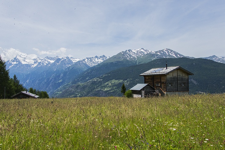
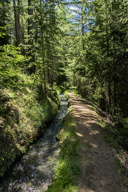
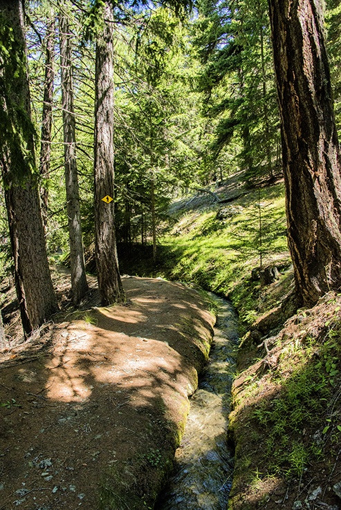
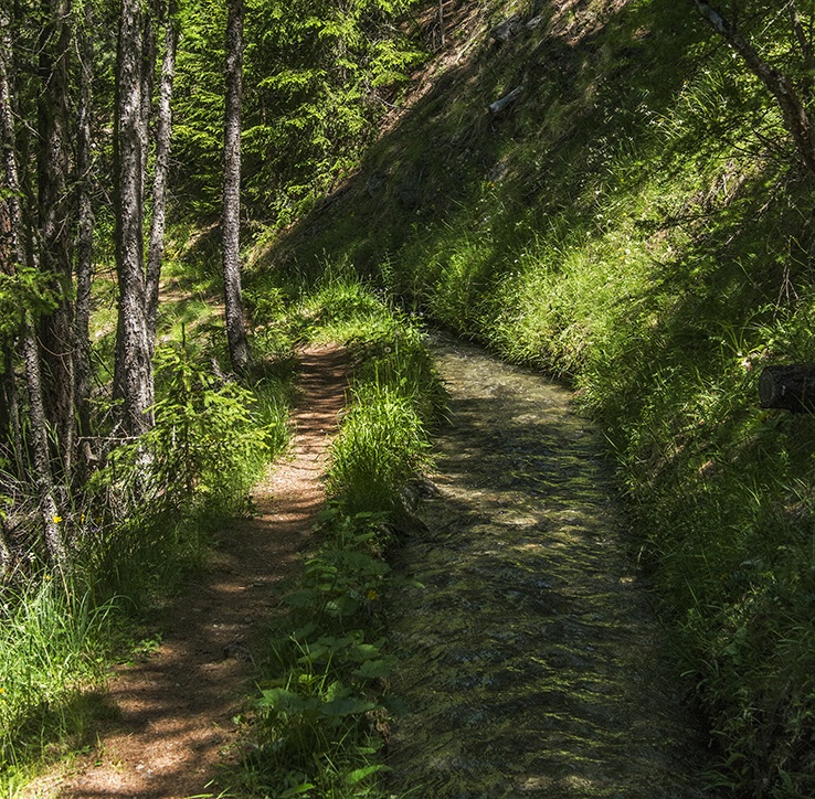
This bisse dates from 1915 and was built to replace the original Bisse de Niwa. At the end of the trail of the Bodmeri, one can visit the guardian’s hut for the Bisse de Niwa and follow the vertiginous bridges which were built on the old path of the Bisse de Niwa.

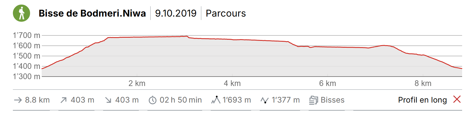
Total length
Approximately 9 km from Visperterminen

Walking time
Approximately 3 hours from Visperterminen in a loop

Altitude
+/-683 meters
Altitude: between 1014 and 1558 meters

National hiking map 1:50’000
274 T Viège (Visp)

Best period
June to October.
This bisse contains water from early April to mid-September.

Difficulty
No particular difficulty
Useful information
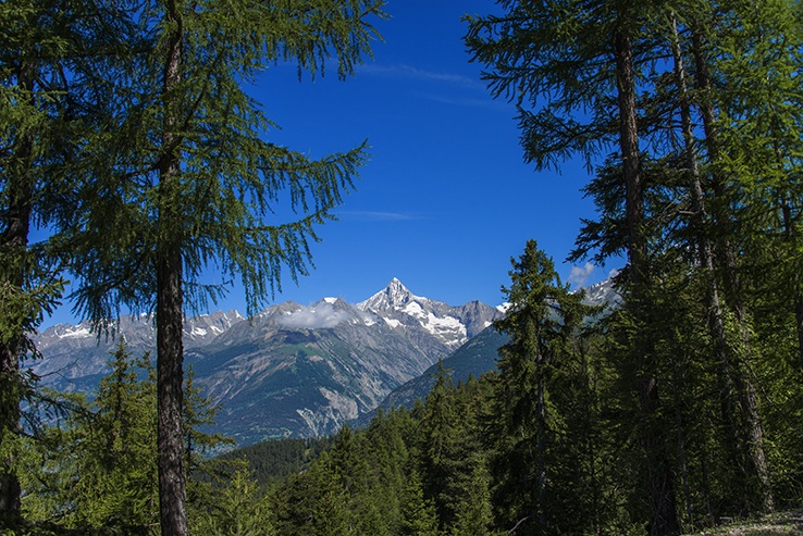
Nice loop with beautiful vistas. Many possibilities to organize a picnic. Avoid in wet and/or rainy weather. The descent from the summit of Les Aiguilles via the Col de l’Aiguillon route can be very slippery and dangerous. If in doubt, from the summit retrace your steps and take the descent via the Chalet des Aiguilles.
Itinerary
Departure and itinerary
The route begins at the “Kappellenweg”, a hundred meters after the departure station on the chairlift (northbound). Follow the Stations of the Cross to the “Waldkapelle” (each station of the Way of the Cross consists of a small chapel). Walk around the “Walkapelle” on the left and continue climbing towards the bisse for about 1.5 km. The route joins a road in a pin. From here, the bisse is under pipes until « Mutji” (North). From “Mutji”, follow the road heading north for a hundred meters to resume the route of the bisse upstream of the road. Follow him to the old hut of the keeper of the bisse. It is from this last place that one can admire (and borrow!) the spectacular footbridges in the middle of the wall (old course of the bisse). For the return, the route takes the forest road located a hundred meters before the old hut of the guardian of the bisse. Follow this road to “Obri Bodma” (South) and follow the indication Visperterminen. Follow the uphill road for 300 meters (South) and before the forest, take a path downstream from the road. This path crosses a beautiful larch forest until Visperterminen and the starting point of the hike.