Bisse de Badneri

Location
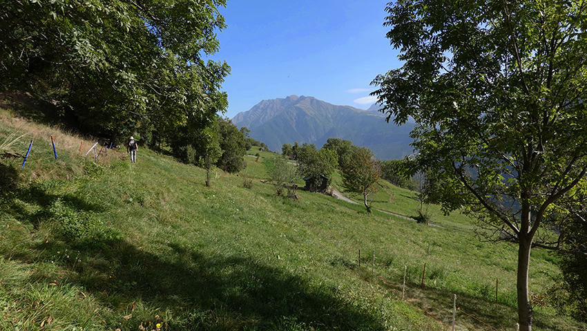
Upper-Valais between Visp and Brigerbad

Descriptif
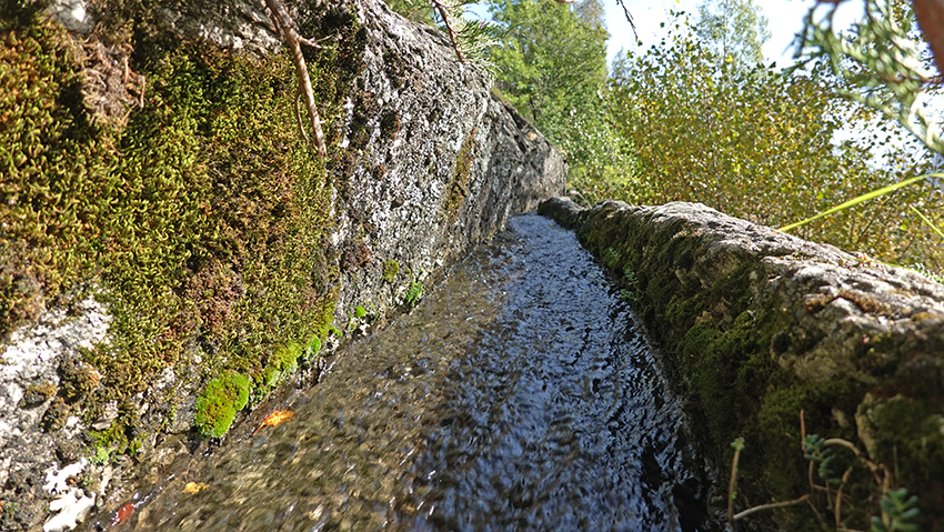
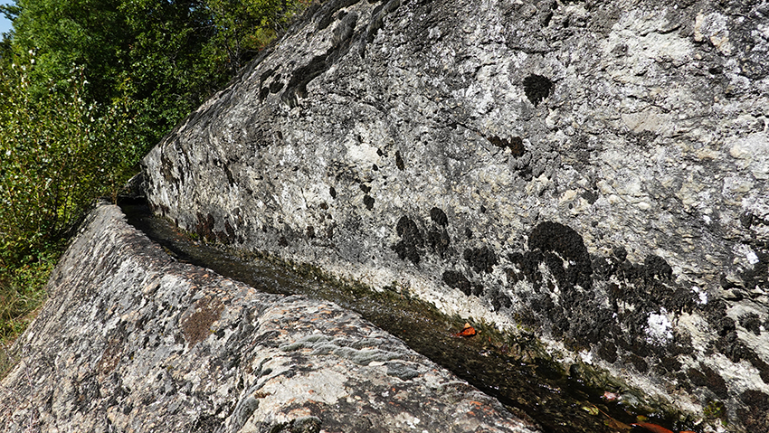
The Badneri bisse was elected bisse of the year 2023. It dates from before the 15th century and was rehabilitated in 2022.

Total length
about 5 km

Walking time
about 2 hours

Altitude
between 641 and 1118 meters above sea level
Elevation : +300 meters / – 32 meters

National hiking map 1:50’000
274 Viège

Best period
May to October

Difficulty
Easy walk without particular difficulty in a very beautiful landscape
Useful information
From Bachtola, it is possible to reach the village of Mund by a path which heads due north uphill. Village located at the start of the Stigwasser and Wyssa bisses.
From Bachtola, it is possible to reach the village of Mund by a path which heads due north uphill. Village located at the start of the Stigwasser and Wyssa bisses.
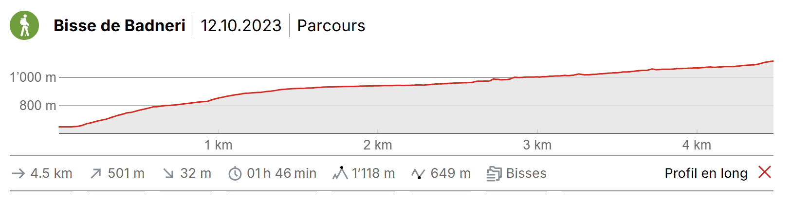
Itinerary
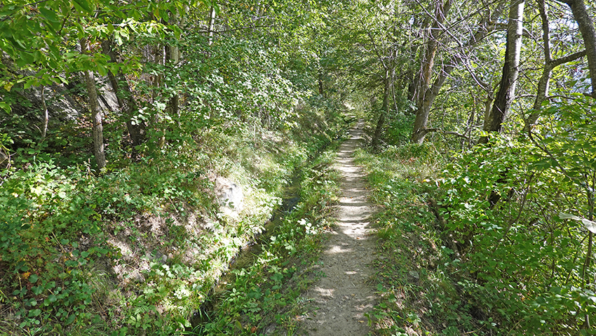
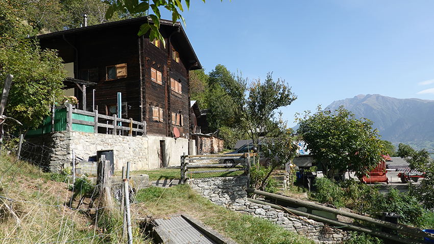
In the center of the village of Lalden, from the Axarda car park, head north towards the Lötschberg railway line and the out-of-service Lalden station. After a fairly steep climb which cuts the road several times and at the foot of the railway line, cross the railway tunnel and after the hairpin, continue to follow the road towards the east. At the end of the tarmac, take a path upstream of the road and join the Hofeldweg. Continue left (west) uphill to the start of the Bisse de Badneri. Follow the bisse to the hamlet of Unner Wabflie. Cross the hamlet and continue to follow the bisse. From the hamlet, the path which runs along the bisse is not very marked, or even not present at all in places. Always follow the bisse until it completely disappears under pipes in the middle of a meadow. The route is now located under a farm and a few dozen meters from the Unner Warflie path. Path which climbs very steeply towards the hamlet of Bachtola for those who do not want to retrace their steps. From the Bachtola postal stop, head to Brig and the connection to Lalden.