Bisse de Mengis


Location
To the right of the Rhône, above Salquenen.

Descriptif
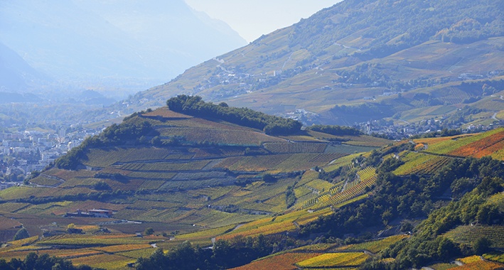
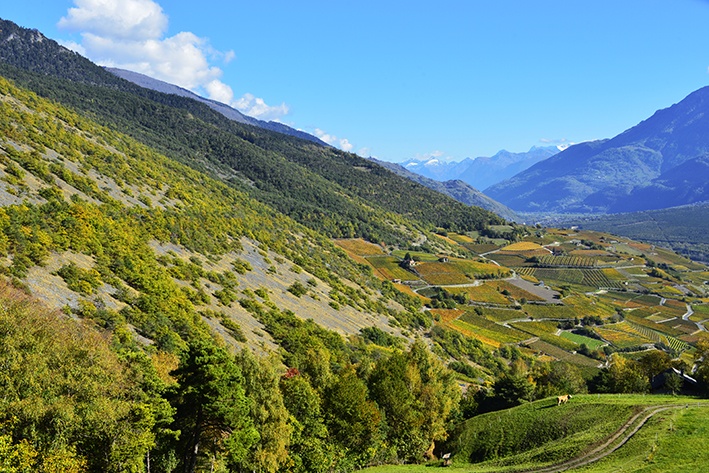
A magnificent walk above Varen, but which remains hot, very hot, even in the middle of summer.

Total length
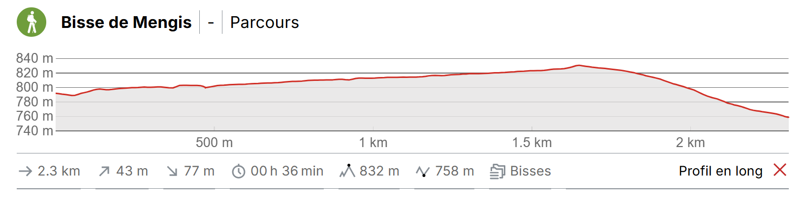
Approximately 3 km.

Walking time
1.5 hours roundtrip (in a loop with the Bisse de Varen 4 hours).

Altitude
Between 775 and 1000 metres.

National hiking map 1:50’000
273 T Montana.

Best period
April to November.

Difficulty
No particular difficulty.
Useful information
At the point at which the bisse takes water you will find a picnic table and benches.
Itinerary
Departure & Itinerary
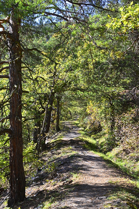
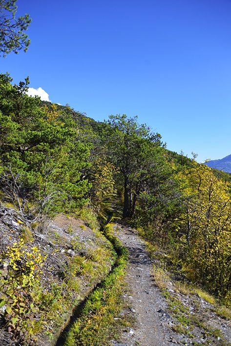
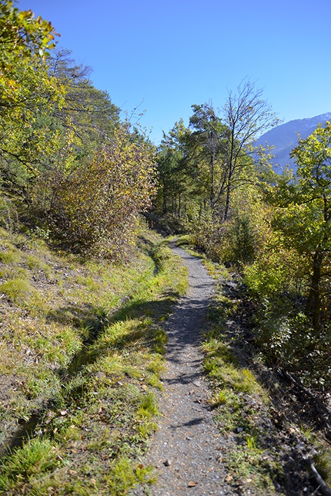
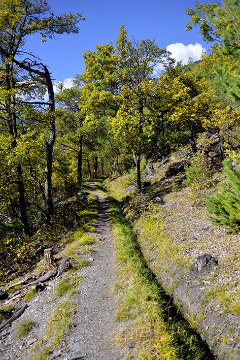
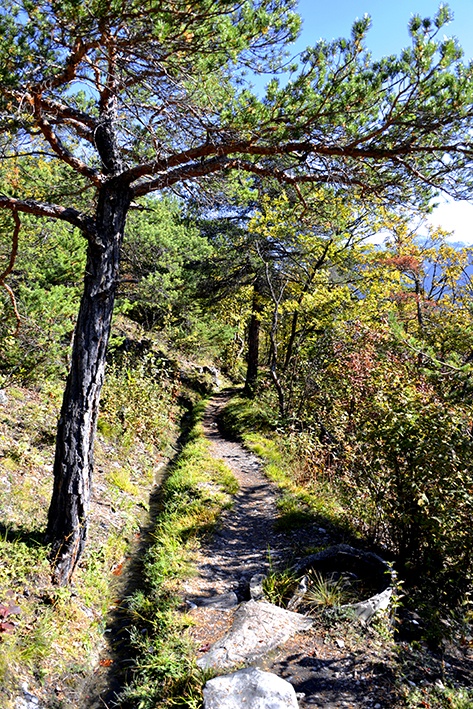
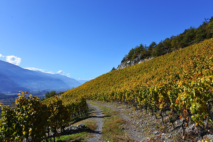
This bisse is done in a loop with the Bisse de Varen. For more information please go to the page for Bisse de Varen on this site. If you wish to explore only the Bisse de Mengis, from Salquenen, about 200 metres after the church on the Route de Varen, follow the road on the left towards Varen, Inden, Leukerbad. You have about 30 minutes uphill walk to reach the sign-posts for Leitern, Inden, Leukerbad, Salgesh (Kulturweg). Follow this road for about 200 metres uphill to reach an intersection with sign-posts for Salgesh or Varen, Inden, Leukerbad. Follow Salgesh on an agricultural road along the vineyards and then cross a forest. After about 15 minutes walk, you will reach a tarmac road. Follow this downhill for about 100 metres to join the bisse on your right. Follow the bisse to the point at which it takes water and continue to Salquenen following the sign-posts on an agricultural road which crosses the point at which the bisse takes water.