Giesch-Tatz Suön und Ladu Suön

Location
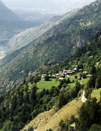
Hohtenn on the eastern slopes of the Lötschental above Gampel to the right of the Rhône.

Descriptif
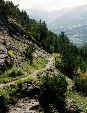
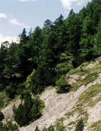
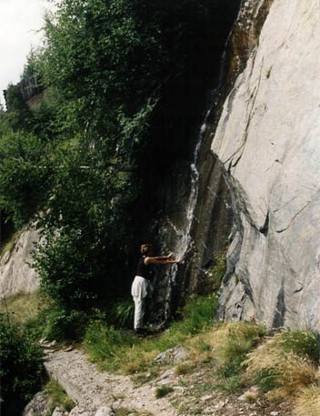
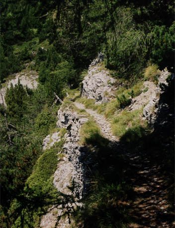
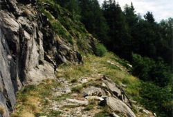
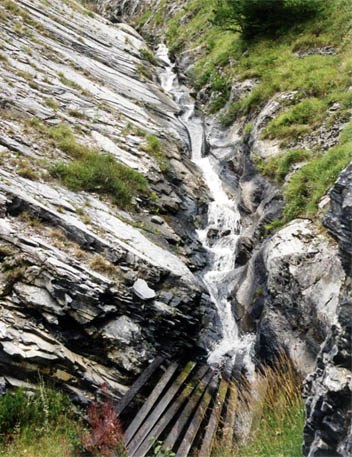
The five irrigation channels (bisses) along this route are often underground, but the flora and fauna are abundant. You are in a free zone of the Swiss Confederation, supported by UNESCO.

Total length
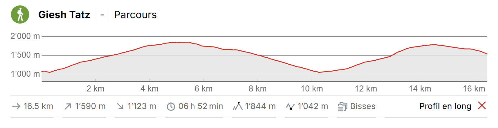
about 11 km

Walking time
Approximately 4.5 hours.

Altitude
Between 1000 and 1800 metres.

National hiking map 1:50’000
274 T Viège (Visp).

Best period
From June to October.

Difficulty
No particular difficulty
Useful information
This trail is suitable for strong walkers and those with s strong sense of direction. When you reach the uppermost point of the trail, you will find yourself in beautiful alpine meadows with a magnificent panoramic view and wonderful picnic places.
Itinerary
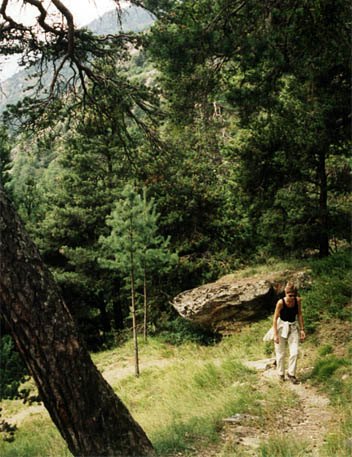
From Hohtenn Station (1000 metres altitude), descend for about 100 metres along the road and take the road on the left which joins the Alp Laden trail (sign-posted). The winding climb to reach the first bisse is steep.
Itinerary
Follow the forest track uphill as far as “Jioli” (1800 metres altitude). Before reaching Jioli you will join a passable forest road. Do not descend (the temptation will be strong after the steep climb), but turn left and continue to climb until you reach the »Jioli” alpine pasture. From here, head downhill towards “Tatz” in a wild little valley, to reach Hohtenn Station. You will cross several a passable road several times but you shoudl never follow it for long as most of the trail is in the forest.