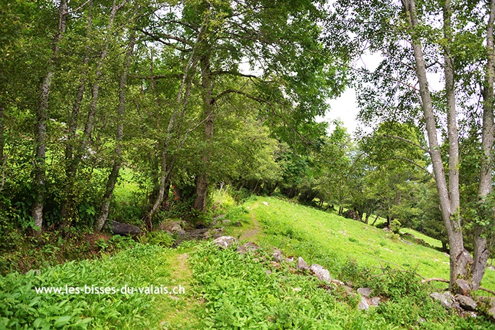
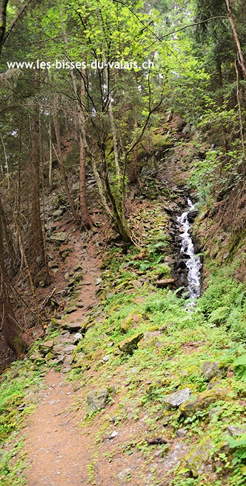
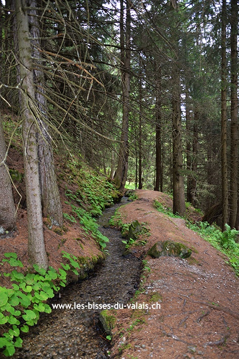
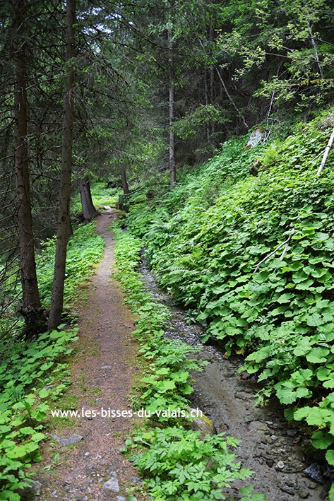
Bisse d’En Bas

Location
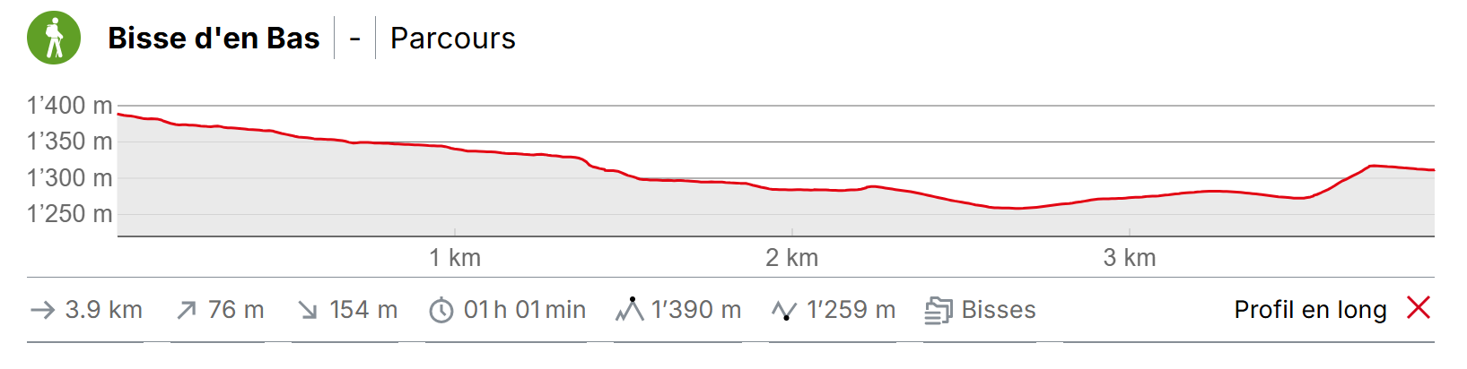
Located at Nendaz between Saclentse and Planchouet to the left of the Rhône.

Descriptif
The construction date for this bisse is disputed by historians with some citing dates around 1390 and others claiming 1753 !

Total length
4 km

Walking time
1.5 hours (without the return trip).

Altitude
Between 1000 and 1400 metres.

National hiking map 1:50’000
273 T Montana

Best period
This bisse contains water from early May to late October.

Difficulty
There are no particular difficulties on this little used trail.
Useful information
Bisse shuttle : a shuttle connects the start and end points of the bisses “d’en Bas”, “du Milieu”, “Vieux” and “Bisse de Vex”. A timetable is available in the local tourist offices.
Shady and varied, of all the bisses in the Nendaz area this one is the least frequented. The bisse can form a loop with the bisse du Milieu or the bisse Vieux.
Itinerary
Departure
The best way to enjoy this trail it by setting off on the Bisse du Milieu from Haute-Nendaz (GPS 46°10’53’’ N 7°17’42’’ E) towards Planchouet. The Bisse du Milieu starts about 30 metres below the bus-stop «Bifurcation le Déserteur»
Itinerary
At the end of the Bisse du Milieu, as you cross the river Printze (GPS 46°9’13’’ N 7°19’4’’ E), follow the tarmac road which descends along the river until you reach the sign-post «Bisse d’En Bas» (GPS 46°9’25’’ N 7°19’5’’ E). All the bisses in Nendaz are well sign-posted. When you arrive at the intersection for the Bisse d’En Bas, cross the Printze and follow the bisse to Haute-Nendaz. When you have passed the top of the village of Saclentze, follow the sign-posts back to your starting point.