Grand bisse de St Luc et bisse Roux

Location
Val d’Anniviers above the village of St Luc

Descriptif
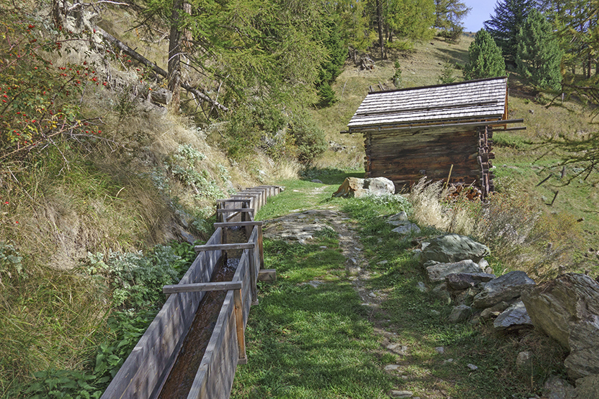
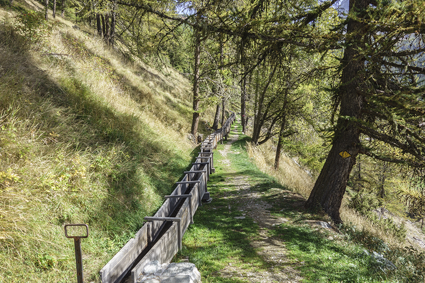
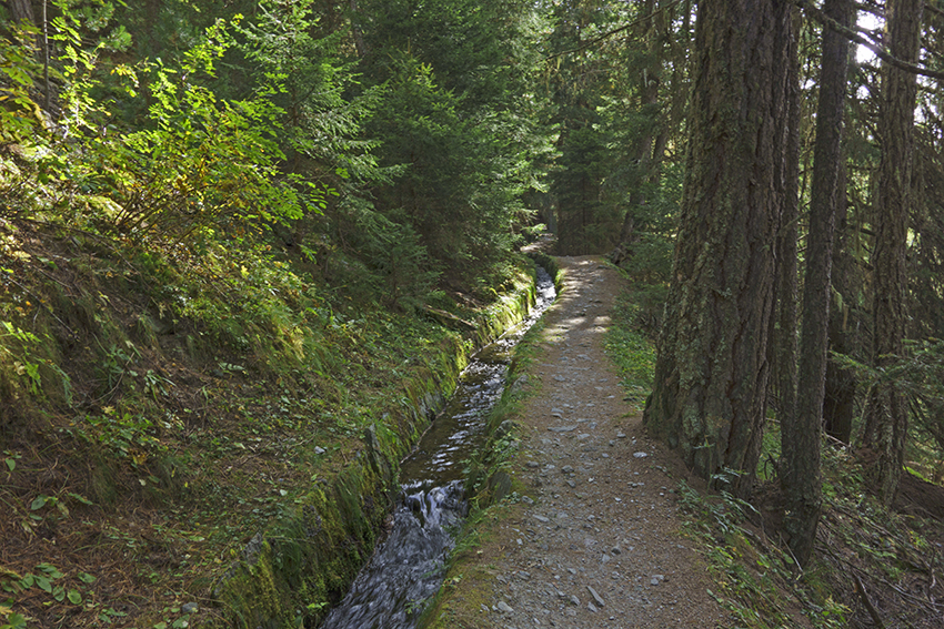
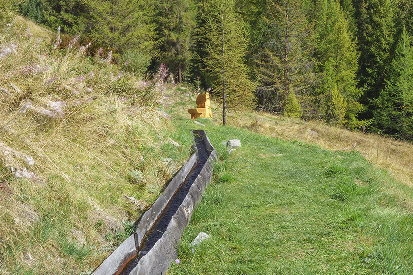
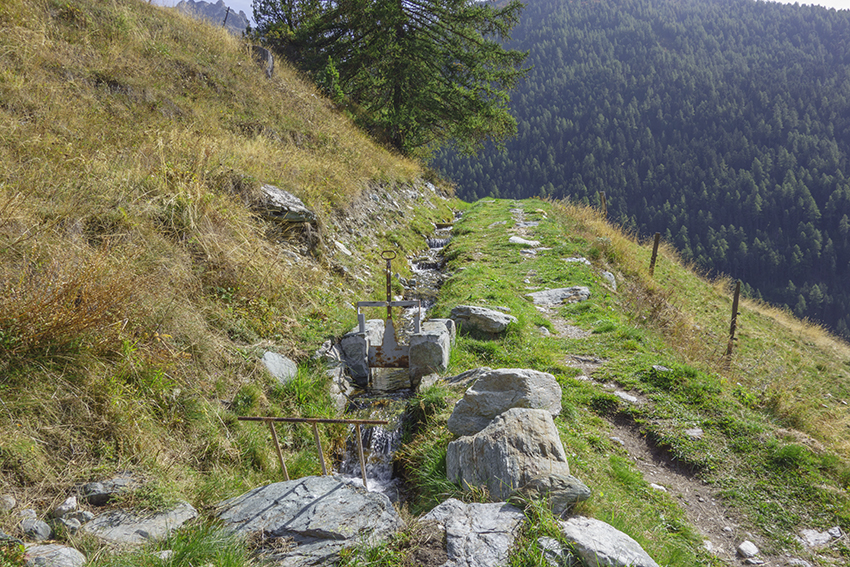
These two irrigation channels date from the end of the 16th century. Abandoned and then rehabilitated in 2023, they once again serve an agricultural function.

Total length
about 8 km

Walking time
about 2 hours

Altitude
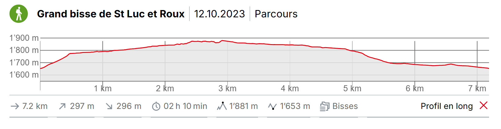
Altitude : between 1650 and 1880 meters above sea level
Elevation : +/- 300 meters

National hiking map 1:50’000
5006 Matterhorn-Miscahbels

Best period
May to October

Difficulty
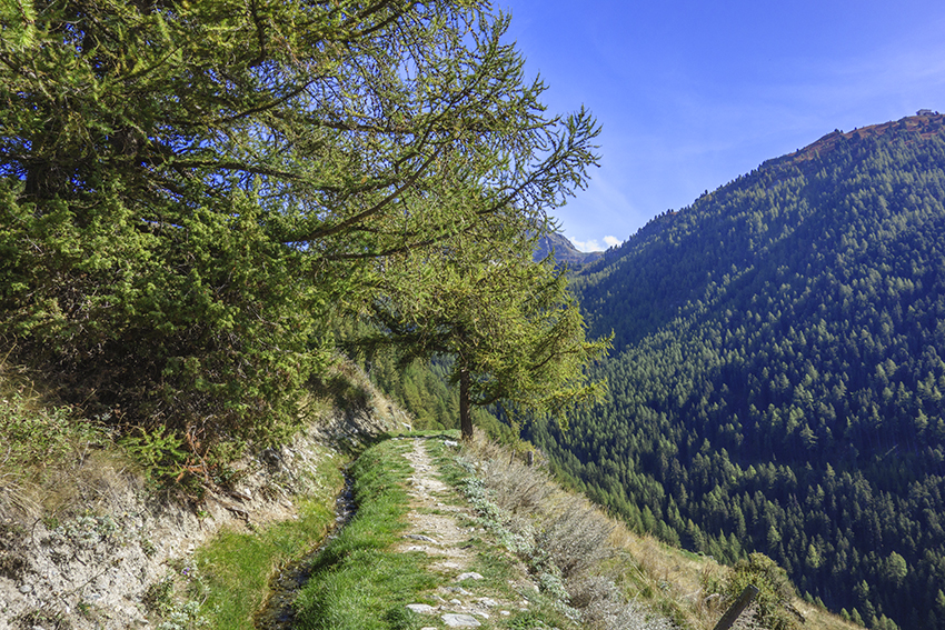
Easy walk without particular difficulty in a very beautiful landscape
Useful information
Nice, easy hike to discover the charm of the Val d’Anniviers and the magnificent panorama of the famous imperial crown made up of the Weisshorn, Zinalrothorn, Obergabelhorn, Matterhorn and Dent Blanche. Summits of the Valais Alps which all culminate above 4,000 meters.
Itinerary
Itinerary
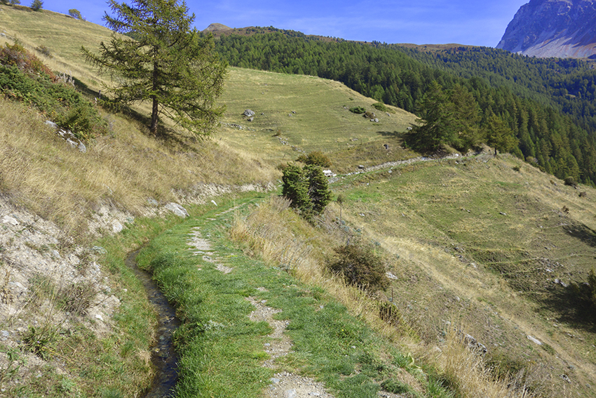
The route begins in the center of the village of St Luc. Follow the signs for “Promenade du Grand Bisse et du Bisse Roux” towards Pierre des Sauvages. The climb is quite steep until the start of the bisse at Pierre des Sauvages. The following walk is easy and crosses beautiful meadows until the water intake of the Grand Bisse de St Luc in the Torrent des Moulins. After crossing the torrent, follow the Bisse Roux to the place called “La Tinda” and return to St Luc by an easy downhill path to Prilet.