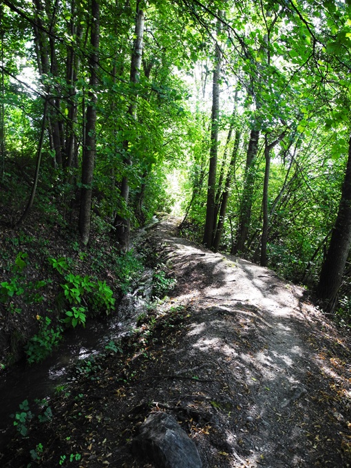
Bisse de Baar

Location
Baar and Brignon are both in the locality of Nendaz, to the left of the Rhône.

Descriptif
The Bisse de Baar dates from before 1450 and situated to the left of the Rhône above Sion. It starts below Brignon castle and finishes above Turin. This bisse can form a loop with the Bisse de Salins.

Total length
4 km.

Walking time
1.5 hours (without the return trip)

Altitude
Between 850 and 700 metres.

National hiking map 1:50’000
273 T Montana.

Best period
This bisse contains water from earlyApril to late October.

Difficulty
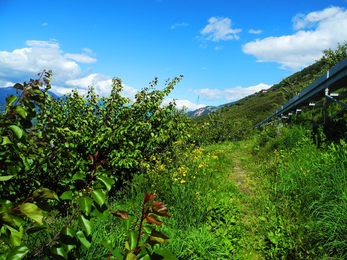
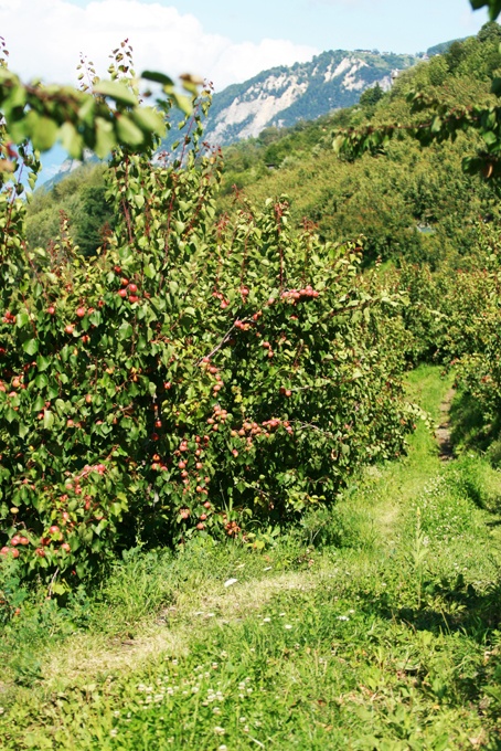
An easy walk without particular challenges through beautiful apricot orchards.
Useful information
This is a low-altitude bisse and can be explored throughout the year in surroundings ranging from meadows and forest to apricot orchards.
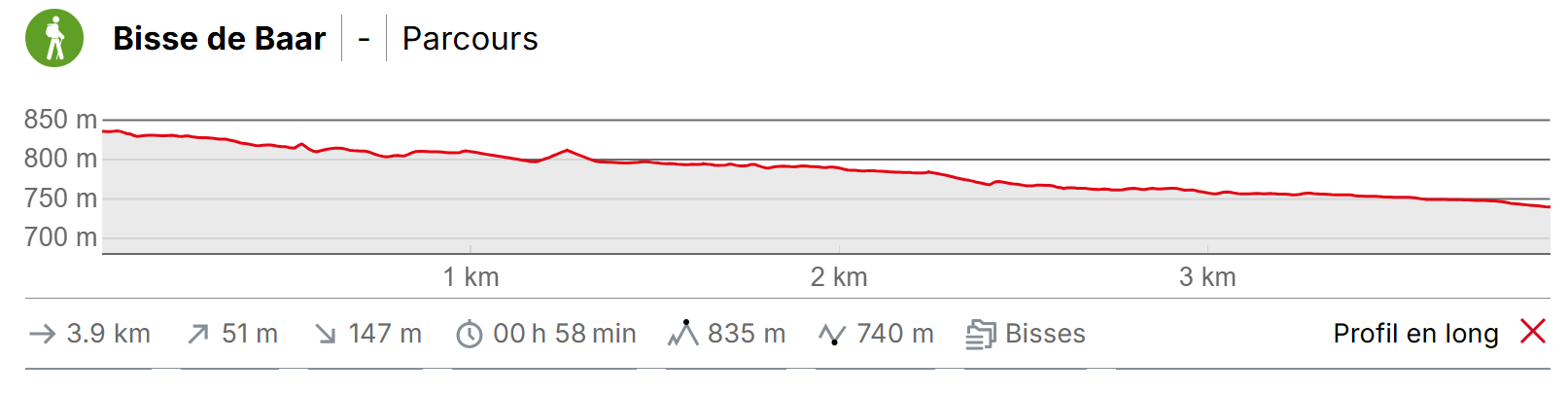
Itinerary
Departure & Itinerary
If you come from the Bisse de Salins, when you arrive in Beuson, follow the old road that descends towards Brignon castle.
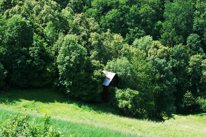
From Brignon castle descend towards the Printze and at the bottom of the village, when you reach the last barn, take the path through the barn which is made of two distinct buildings and follow the trail of the bisse as far as Pravidondaz.
From this point, you can catch a bus to go back up to your starting point.