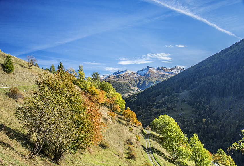
Val d’Hérens 3 bisses loop

Location
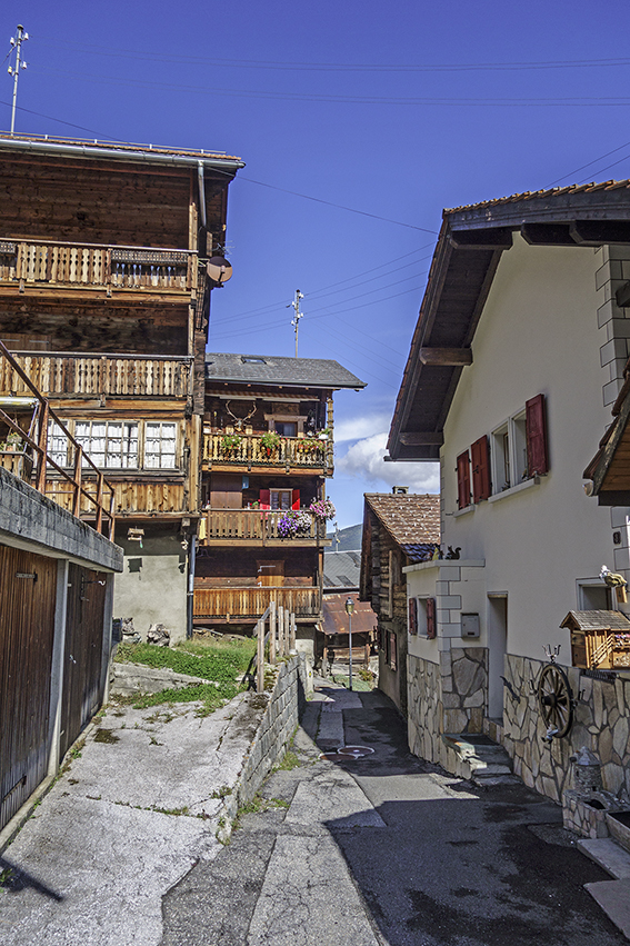
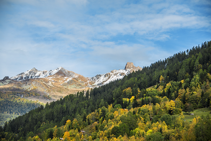
Val d’Hérens on the left bank of the Rhône. Departure from Mâche after Hérémence, towards the Dixence dam.

Descriptif
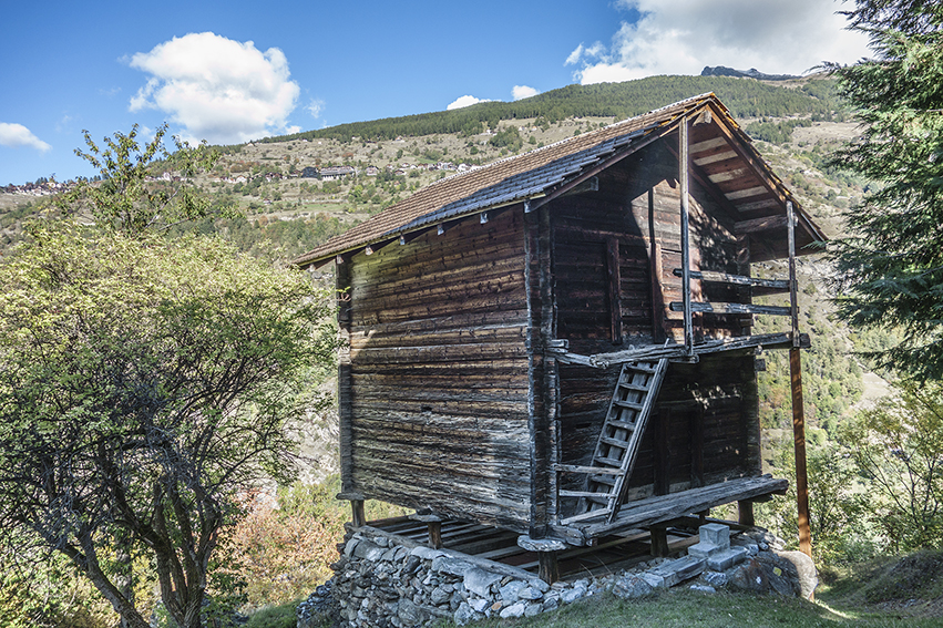
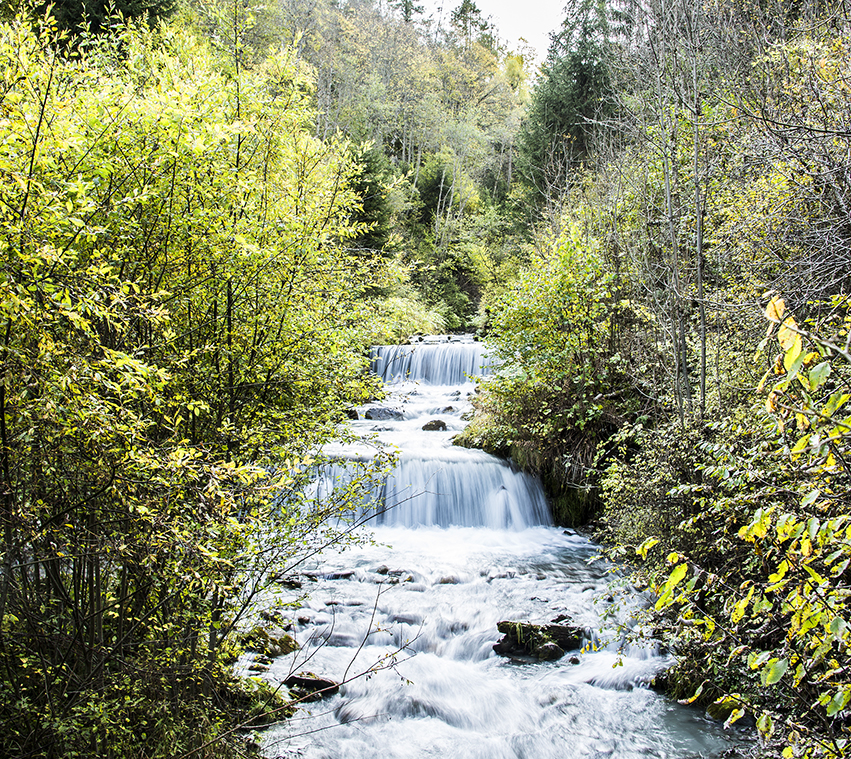
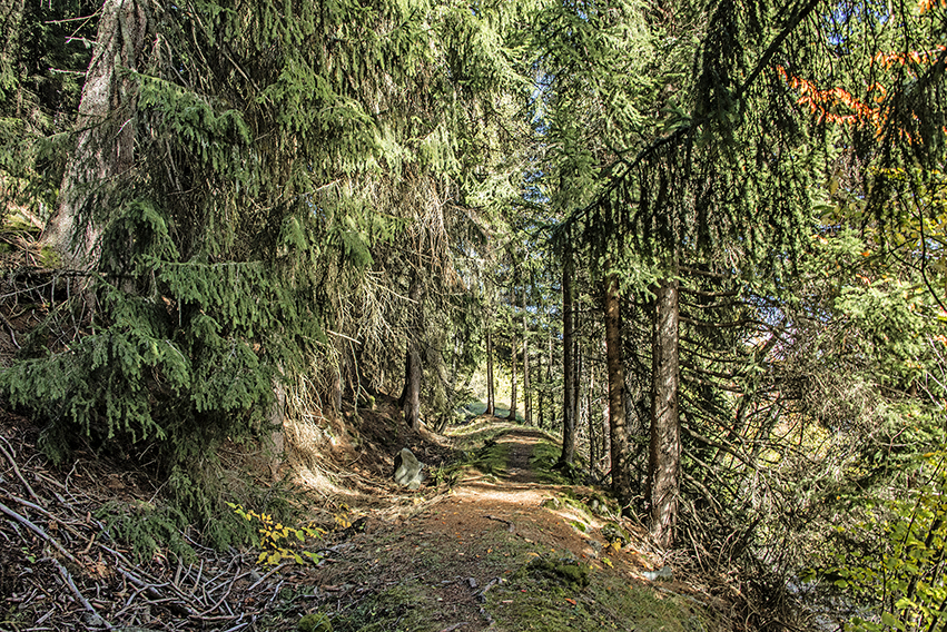
The Ernaya bisse dates from the 14th century, that of Hérémence from 1440 and the route of the Bisse d’Euseigne was modified in 1963 following a landslide. The bisses of Hérémence and Ernaya are abandoned but the route is perfectly maintained. These 3 bisses can be browsed individually, this website offers to browse in a loop.

Total length
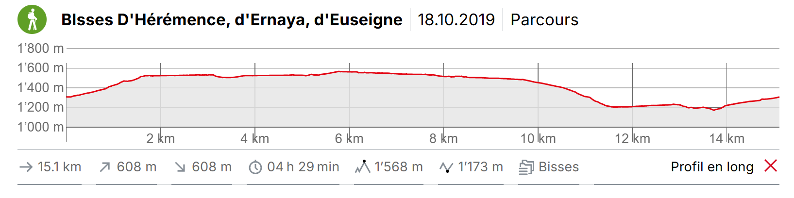
about 15 km

Walking time
about 5 hours

Altitude
between 1’200 and 1’600 meters above sea level

National hiking map 1:50’000
273 Montana

Best period
May to October

Difficulty
no particular difficulty
Useful information
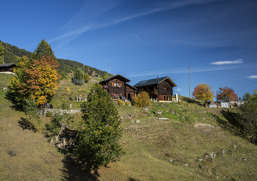
At the end of the Bisse d’Euseigne, the route passes very close to a chalet that can be avoided by going down directly on the road to Euseigne by a not very marked path which starts about ten meters before the chalet. For this variant, go up the road of Euseigne on a hundred meters to join the path that goes down to “La Tsaumette”. At “La Tsaumette”, the route also passes behind a chalet, there is no alternative route in this case.
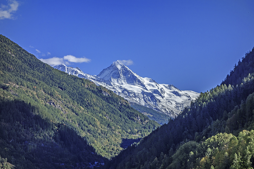
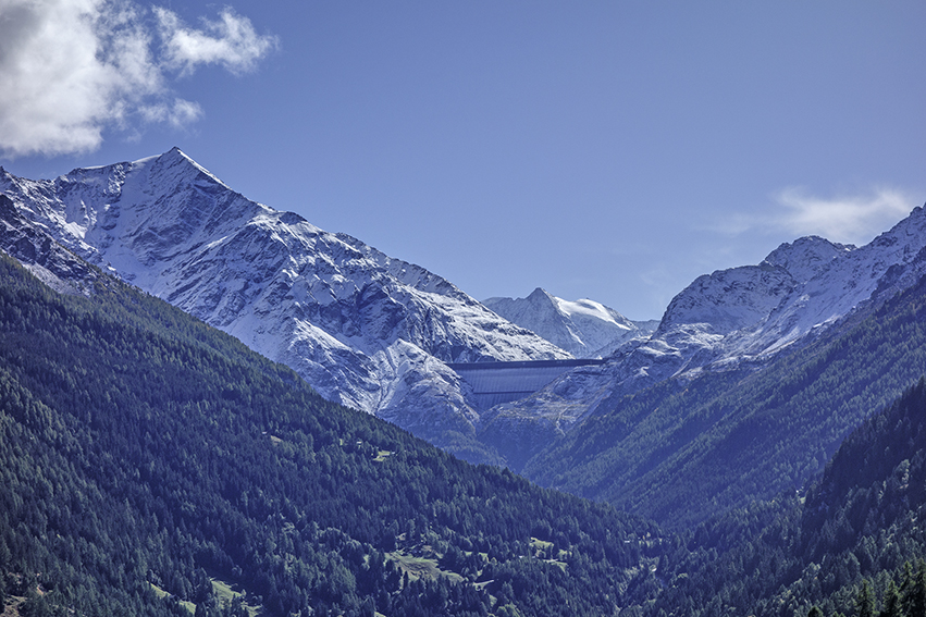
Beautiful course to discover the Val d’Hérens with a magnificent view of the impressive barrier wall of the Grande Dixence (highest dam weight in the world).
Itinerary
Itinerary
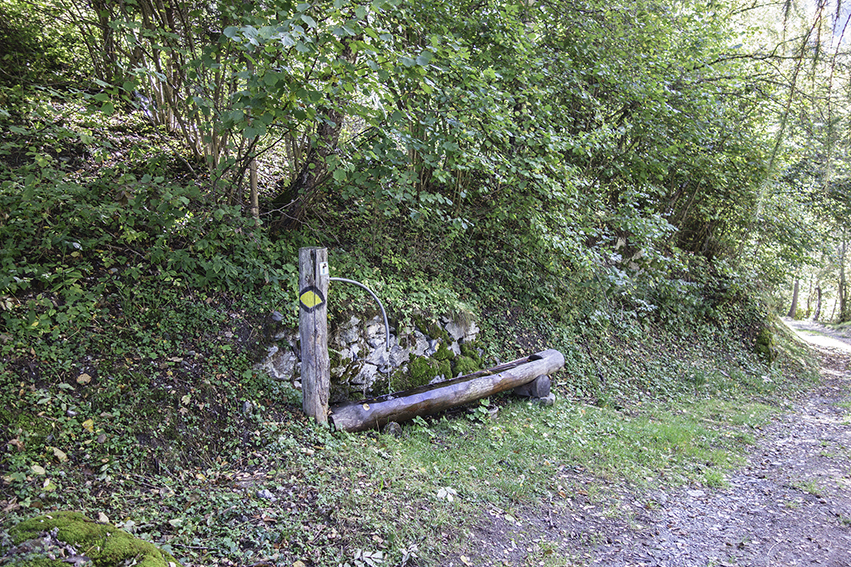
From the village of Mâche (Hérémence), follow a road (north direction) uphill in the direction of “Les Flagnesses” and continue climbing to the point of altitude 1515, to join the route of the old bisse Hérémence. Follow the bisse for 1.5 km to join and follow a forest road to the Mayens des Plans (south direction). Cross the river “Dixence” and climb towards “Les Founous” by a road to join the route of the old bisse Ernaya. A little after 1’500 altitude, follow a downhill road to “La Bourdounire”. Take a path downhill to reach the Bisse d’Euseigne. Follow the Bisse towards the North-West to the Euseigne road. Go down about fifty meters to take a path downstream of the road towards “La Tsaumette”. Continue to descend to cross the river “Dixence”. Go up towards Mâche by a path towards the North. At the end of the path follow the road from Condémine to Mâche and the starting point.