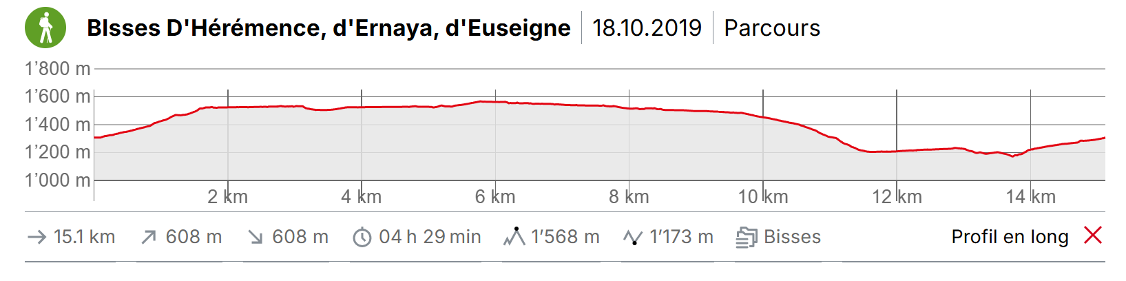
Val d’Hérens 3 bisses en boucle

Localisation
Val d’Hérens en rive gauche du Rhône. Départ depuis Mâche après Hérémence, en direction du barrage de la Dixence.

Descriptif
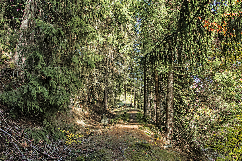
Le bisse d’Ernaya date du XIVème siècle, celui d’Hérémence de 1440 et le parcours du bisse d’Euseigne à été modifié en 1963 suite à un glissement de terrain. Les bisses d’Hérémence et d’Ernaya sont abandonnés mais l’itinéraire est parfaitement entretenu. Ces 3 bisses peuvent être parcourus individuellement, ce site internet propose de les parcourir en boucle.

Longueur totale
environ 15 km

Temps de parcours
environ 5 heures

Altitude
Altitude : entre 1’200 et 1’600 mètres d’altitude
Dénivelé : +/- 600 mètres

Carte nationale d’excursion 1:50’000
273 T Montana

Meilleure période
De mai à octobre

Difficulté
pas de difficulté particulière
Informations pratiques
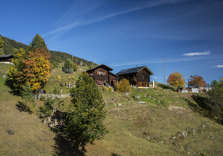
A la fin du bisse d’Euseigne, l’itinéraire passe tout proche d’un chalet que l’on peut éviter en descendant directement sur la route d’Euseigne par un chemin pas très marqué qui débute une dizaine de mètres avant le chalet. Pour cette variante, remonter la route d’Euseigne sur une centaine de mètres pour rejoindre le chemin qui descend vers « La Tsaumette ». A « La Tsaumette », l’itinéraire passe également derrière un chalet, il n’y a pas de variante d’itinéraire dans ce cas.
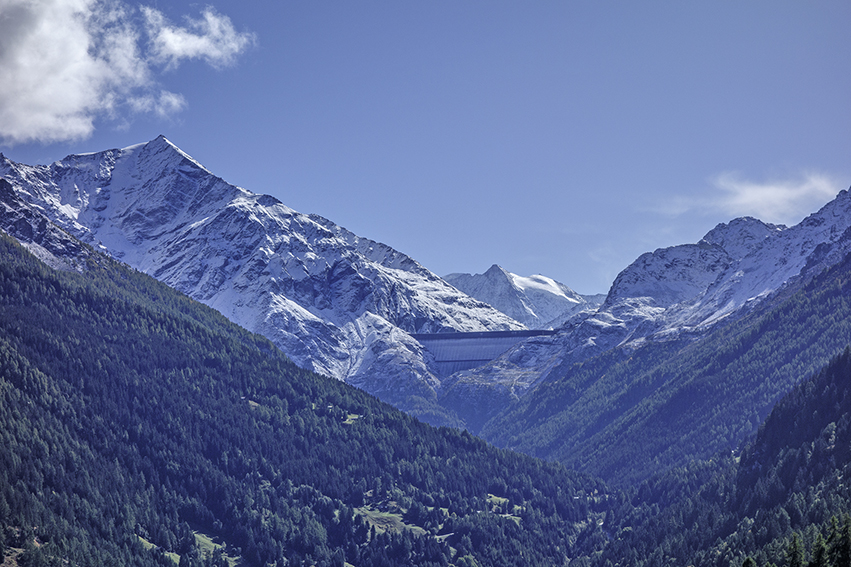
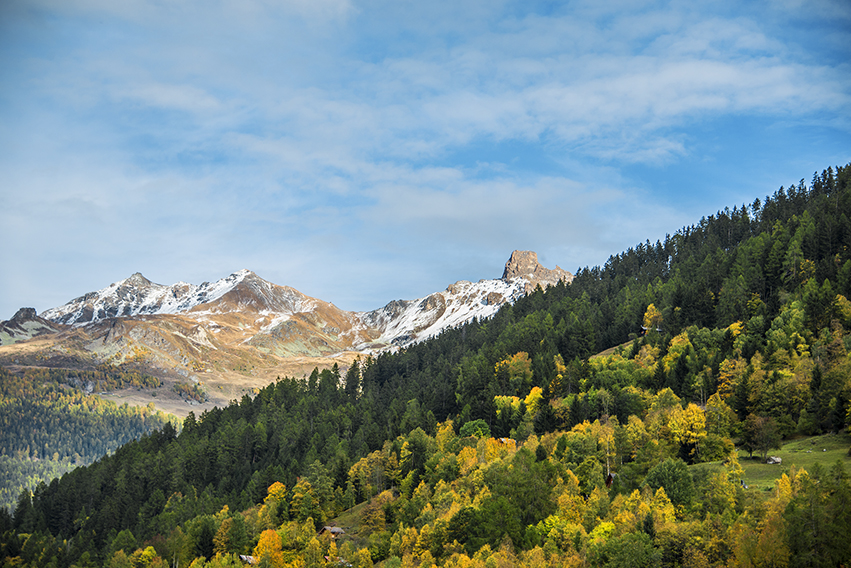
Très beau parcours à la découverte du Val d’Hérens avec une vue magnifique sur l’impressionnant mur du barrage de la Grande Dixence (plus haut barrage poids du monde).
Itinéraire
Itinerary
From the village of Mâche (Hérémence), follow a road (north direction) uphill in the direction of « Les Flagnesses » and continue climbing to the point of altitude 1515, to join the route of the old bisse Hérémence. Follow the bisse for 1.5 km to join and follow a forest road to the Mayens des Plans (south direction). Cross the river « Dixence » and climb towards « Les Founous » by a road to join the route of the old bisse Ernaya. A little after 1’500 altitude, follow a downhill road to « La Bourdounire ». Take a path downhill to reach the Bisse d’Euseigne. Follow the Bisse towards the North-West to the Euseigne road. Go down about fifty meters to take a path downstream of the road towards « La Tsaumette ». Continue to descend to cross the river « Dixence ». Go up towards Mâche by a path towards the North. At the end of the path follow the road from Condémine to Mâche and the starting point.