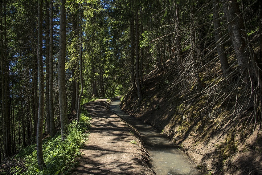
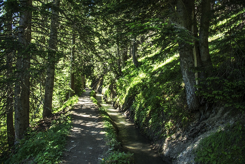
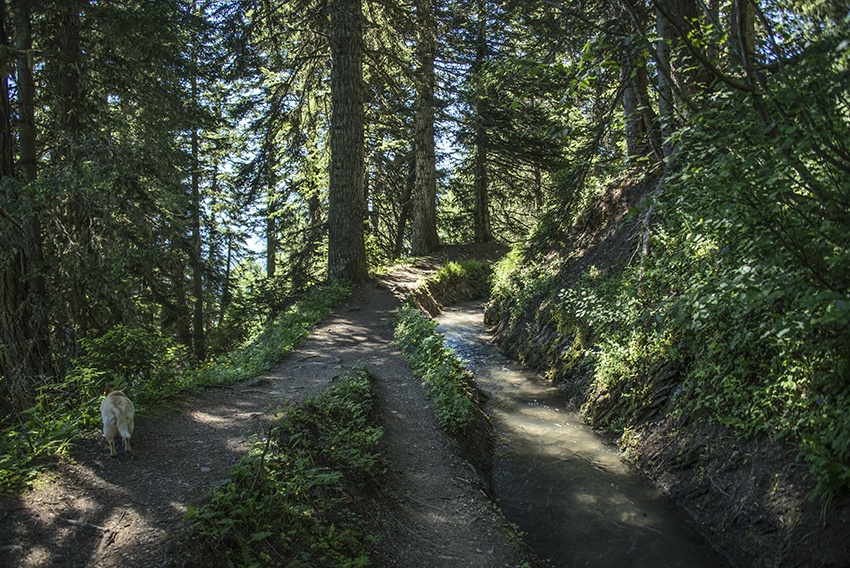
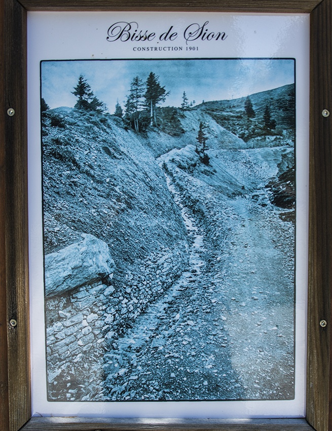
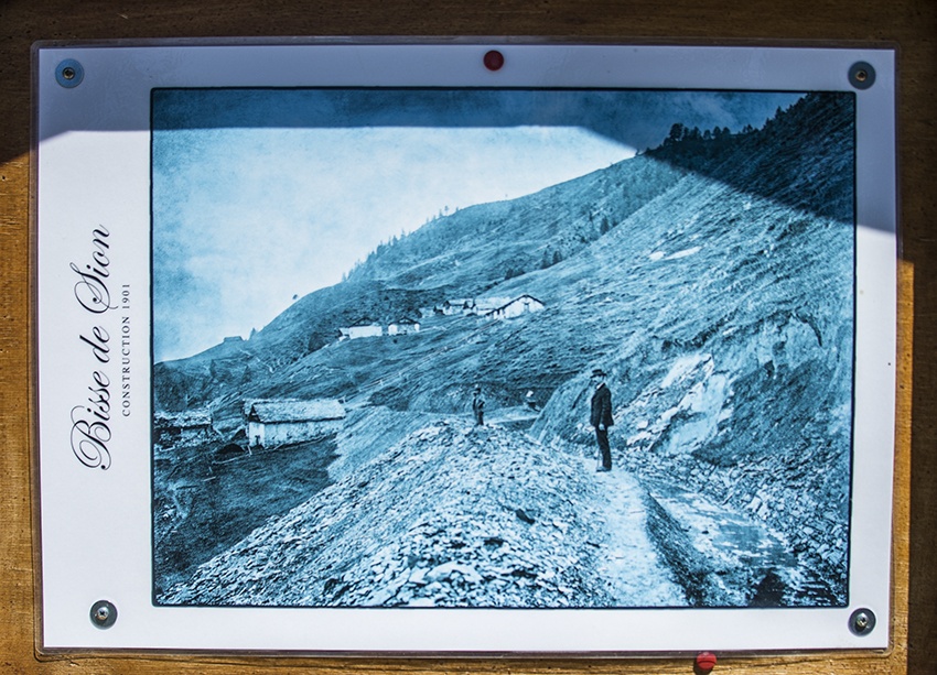
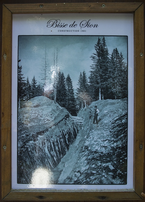
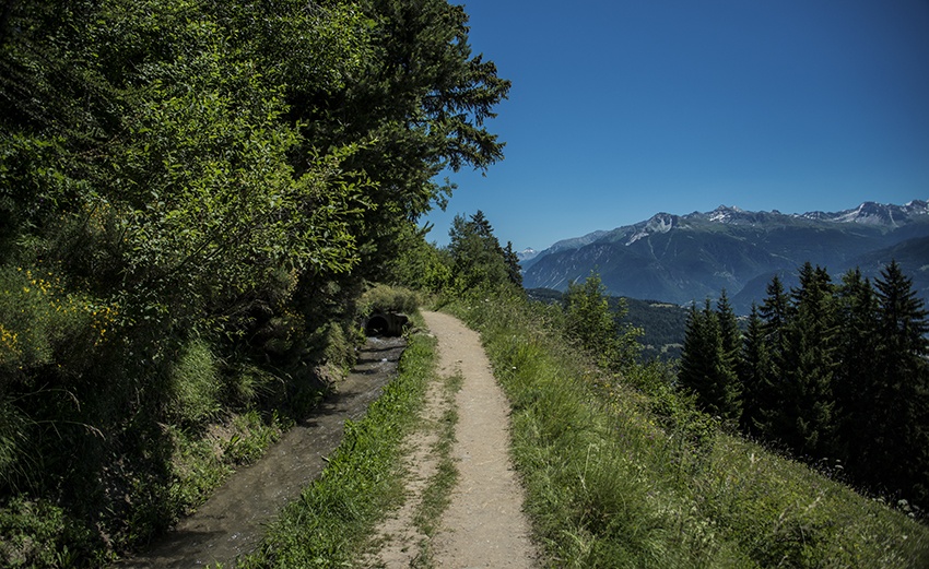
Bisse de Sion




Location
Tzeuzier lake and Anzère, to the right of the Rhône.

Descriptif
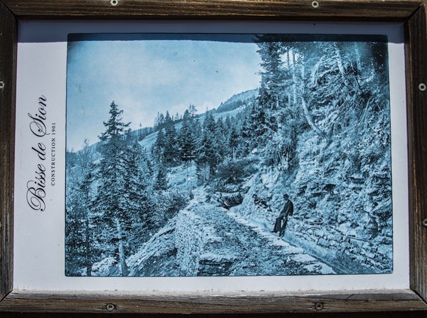
Built at the beginning of the twentieth century to feed the Sionne and latterly the Bisse de Lentine and the Mont d’Orge lake.

Total length
14 km.

Walking time
Between 3 and 4 hours.

Altitude
Between 1850 and 1150 metres.

National hiking map 1:50’000
no. 273T Montana.

Best period
This bisse contains water from 15 July to 15 August.

Difficulty
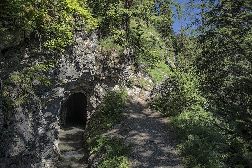
There are no particular difficulties. From the dams, to reach Les Rousses, the route follows road tunnels.
Useful information
The trail is shady and there are many nice places where you can stop and picnic. If you don’t want to follow the tunnel route, you can start your route from the Les Rousses post bus stop
Outside the summer period, there is no postal bus connection for the Zeuzier dam.
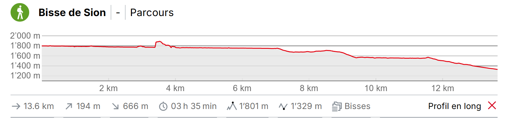
Itinerary
Departure & Itinerary
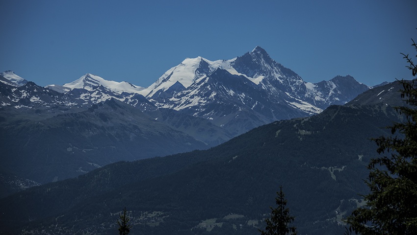
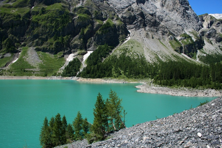
Take the bus from Sion to the Tzeuzier Dam. It is worth taking advantage of the occasion to walk around the lake (begin to the right as you look at the bottom of the Lienne valley or the left bank of the lake) and you will discover a magnificent mountain landscape. At the end of the lake you can join the bisse where it takes water and make your way along the right bank of the lake. Between Tzeuzier and Les Rousses, the route crosses road tunnels. From Les Rousses, follow the bisse to Anzère or Etang-Long at the Mayens d’Arbaz. The stretch of the itinerary to reach the Etang Long from Anzère is not easy and requires a good sense of direction.