Bisse de Lens


Location
Chermigon d’En Bas, Lens, Christ-Roi to the right of the Rhône.

Descriptif
Built in the 1450s. It is also called the Grand Bisse de Lens.

Total length
14 km.

Walking time
3 hours (without the return trip)

Altitude
Between 950 and 1150 metres.

National hiking map 1:50’000
273T Montana

Best period
from april to october

Difficulty
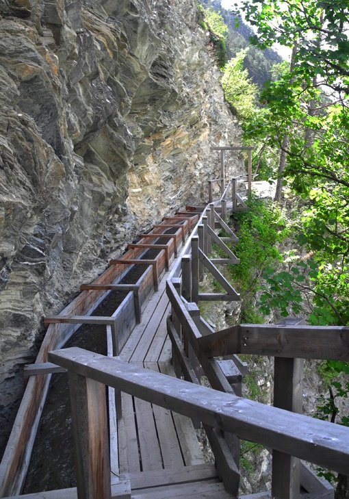
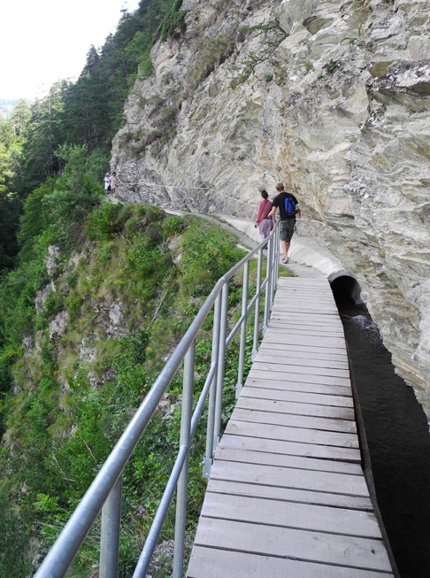
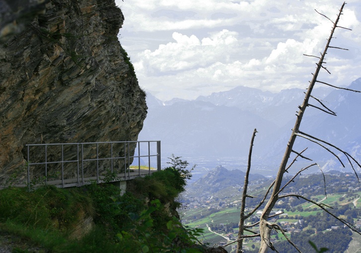
Difficult when the path skirts the Christ the King hill with vertigo-inducing sections. Not recommended for people suffering from vertigo.
Useful information
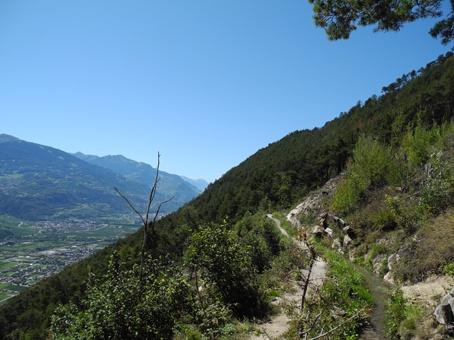
A very beautiful walk at medium altitude which can be enjoyed throughout the year as long as it is free of snow. At the mid-point, the bisse turns in the direction of the Lienne valley and follows it. At this point it becomes quite exposed and can only be walked in good weather. This stretch is impossible in winter or in wet conditions when it becomes too slippery.
Itinerary
Departure
It is possible to begin at Chermignon d’En Bas, 50 metres above the football ground just below the main road to Crans-Montana. There is a large car-park at the football ground.
Itinerary
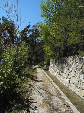
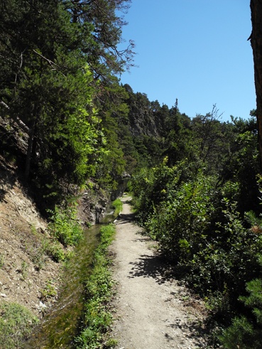
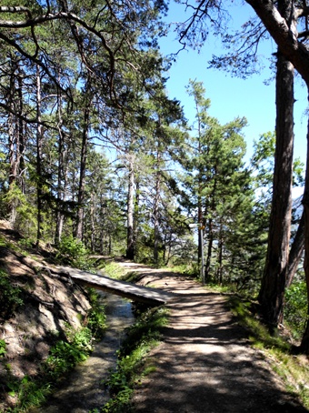
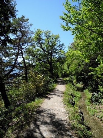
Follow the bisse towards the statue of Christ the King. After about 3 km you reach an intersection in the main road from Lens to Granges. From the middle of the hairpin bend in the main road, follow the unpaved road for 50 metres. The Bisse de Lens continues on your left below this rough road. If you want to continue to the Bisse de Sillonin or the Bisse de Clavau, at the end of the itinerary of the Bisse de Lens when you return to a forest track, you will find all the necessary sign-posts. To reach Icogne or the dam of Rawil, continue to follow the bisse of Lens.