Bisse d’Ayent




Location
To the right of the Rhône, between the Zeuzier Dam and the Mayens d’Arbaz.

Descriptif
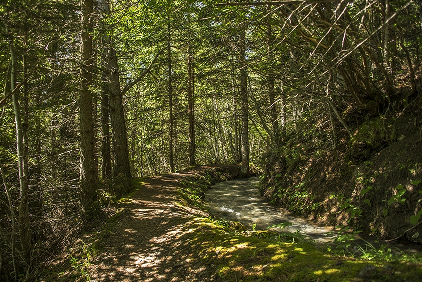
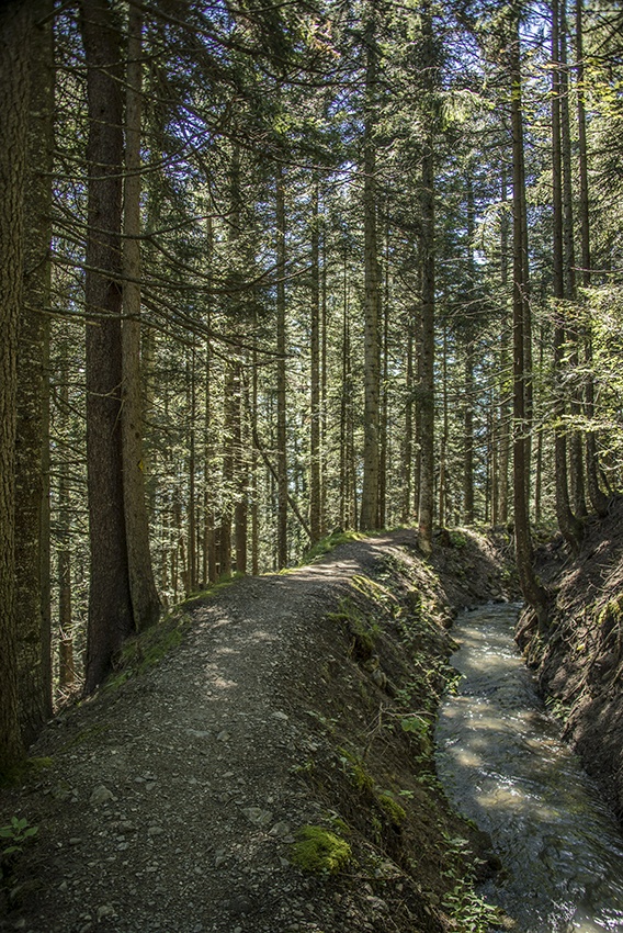
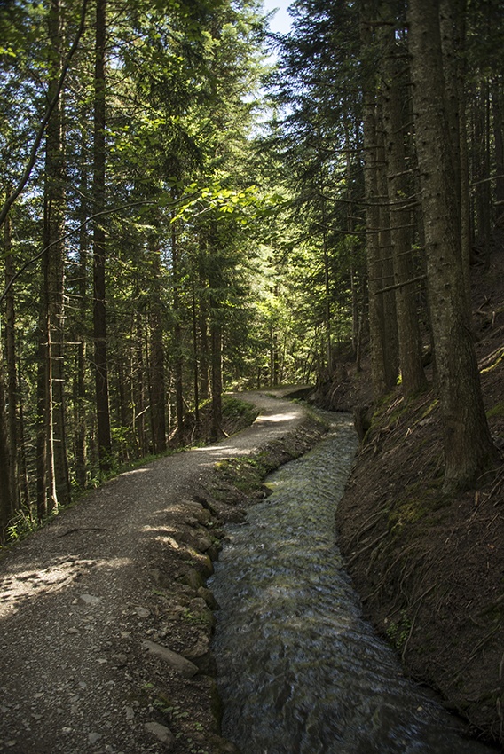
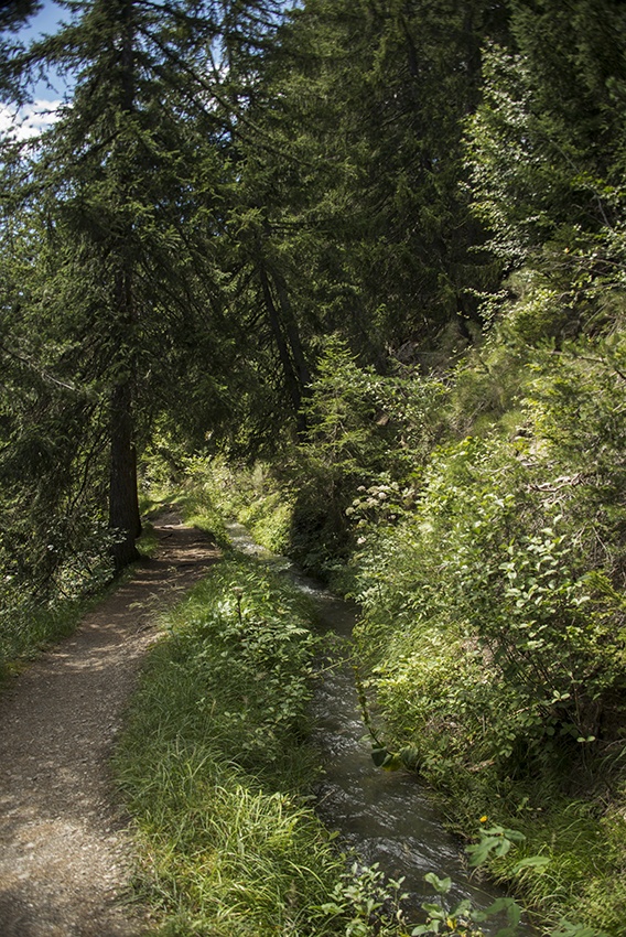
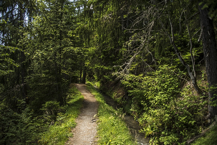
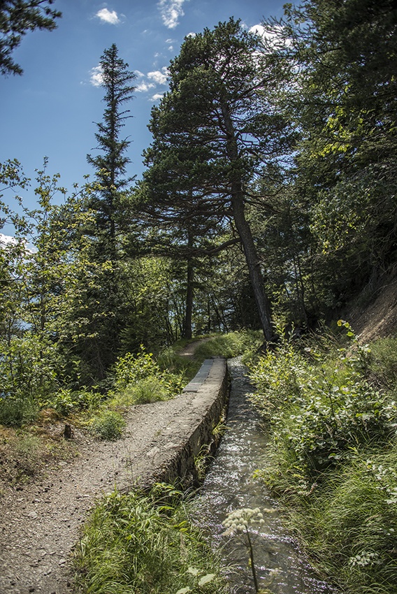
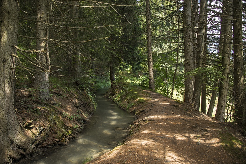
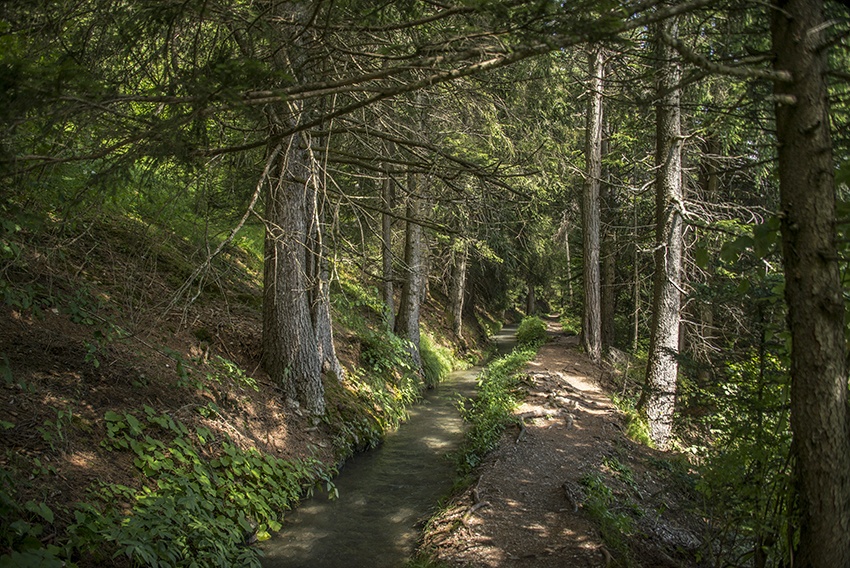
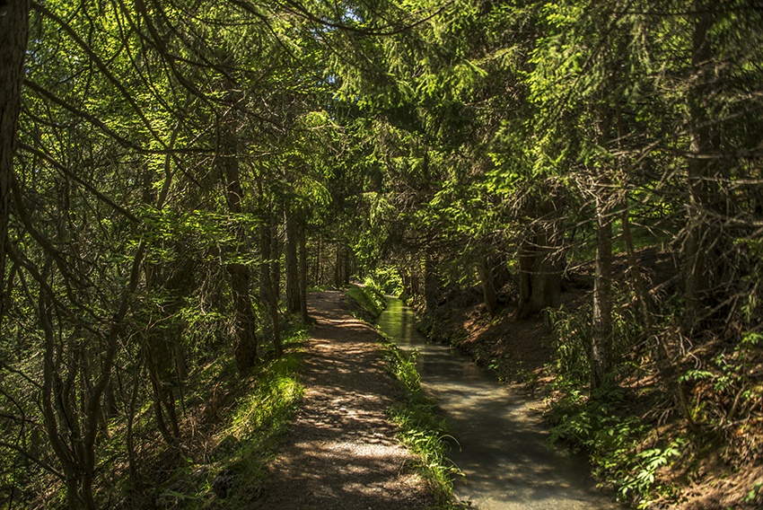
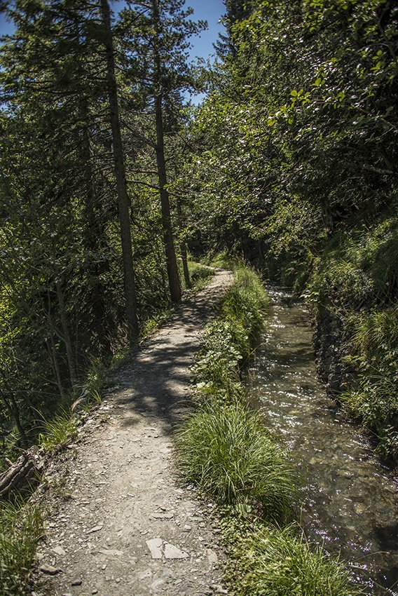
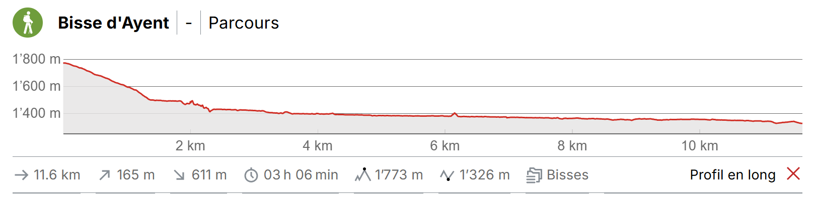
Built in 1442, it crosses the municipalities of Ayent and Grimisuat. It can also be the continuation of the Ro irrigation channel which starts from Crans or be made into a loop with the Sion irrigation channel starting from Anzère.18 km

Total length
18 km

Walking time
3 to 4 hours (without the return trip).

Altitude
Between 1800 and 1300 metres.

National hiking map 1:50’000
273T Montana

Best period
June to October. This bisse contains water from early June to 30 September.

Difficulty
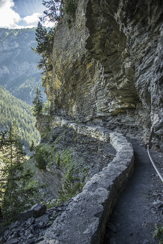
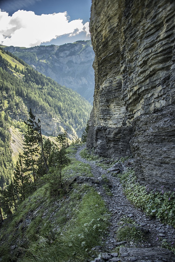
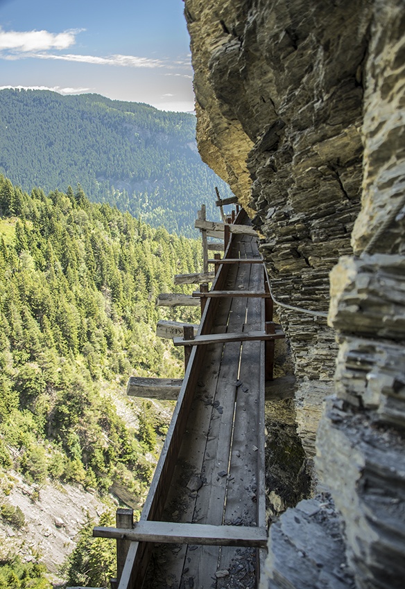
Difficult and not recommended for those suffering from dizziness or a fear of heights.
Useful information
We advise following this bisse going from Zeuzier to Arbaz. At the end of the walk there is a restaurant du Lac from which you can admire a panorama of the Alps from a magnificent terrace. The restaurant is 50 metres below the end point of the bisse.
Outside the summer season, there is no public transport for the Zeuzier dam.
Itinerary
Departure
To follow this bisse, begin by using public transport to reach the barrage du Rawyl (Zeuzier) from Sion bus station. From the dam, follow the forest track that starts under the wall of the dam just after the restaurant and descends a steep slope to the start of the bisse. When you reach a clearing of chalets, the road stops and a path continues north-west across the rubble towards a rocky embankment.
Itinerary
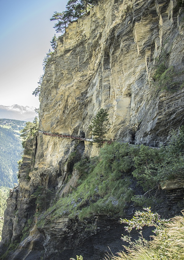
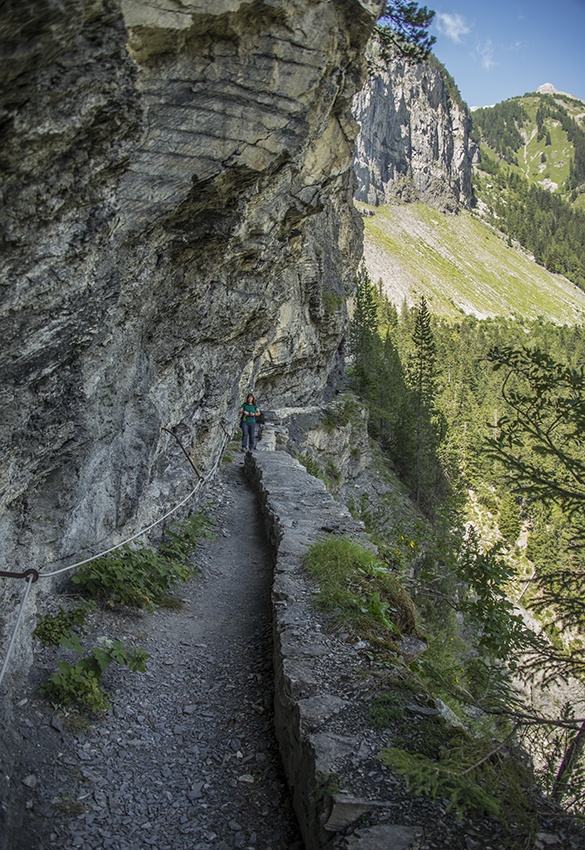
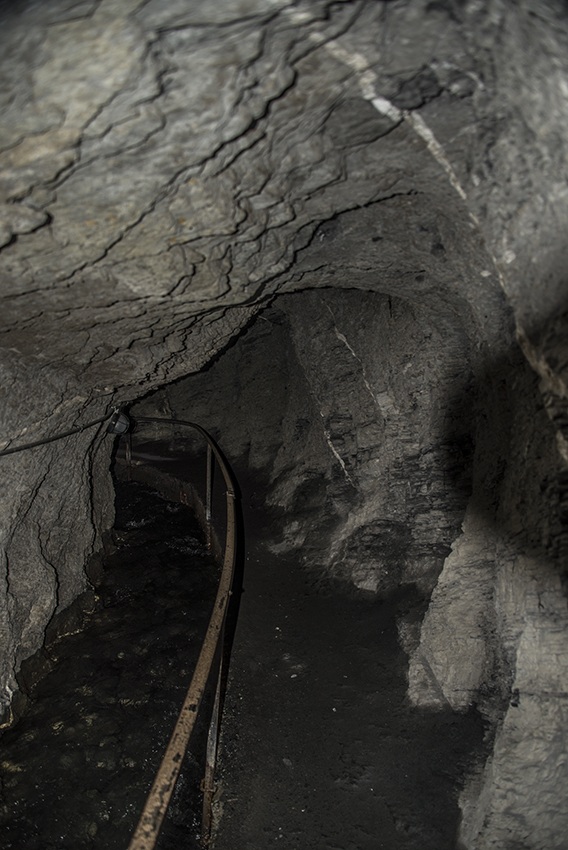
The beginning of this path is quite spectacular and absolutely not recommended to those suffering from dizziness or a fear of heights. You should also wear good walking boots as there are some rough and exposed areas where it is easy to lose one’s footing! The bisse ends at «Etang Long» (Long Pond) in the Mayens d’Arbaz. From there, catch a bus back to Sion. Strong walkers can also begin at Plans Mayens above Crans (which can also be reached by public transport) and start with the Bisse du Ro.