Bisse de la Tsandra

Location
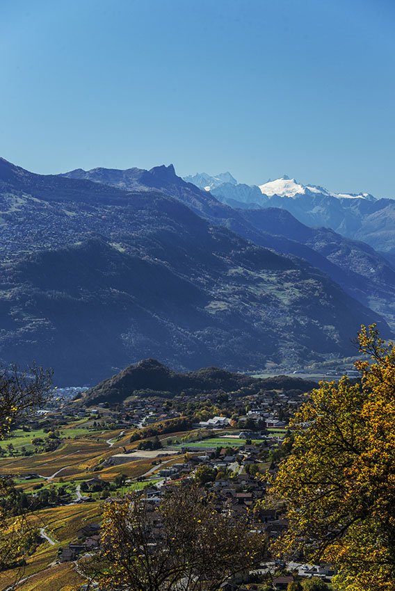
Mayens de My and Conthey, to the right of the Rhône.

Descriptif
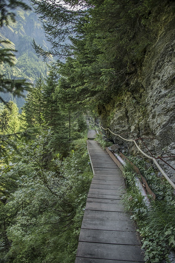
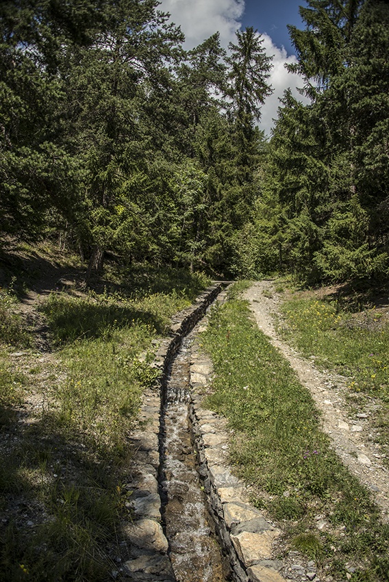
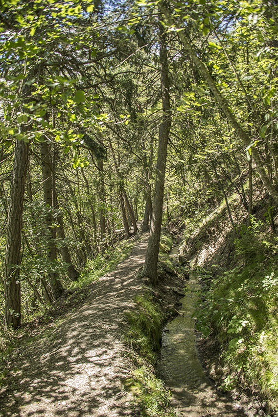
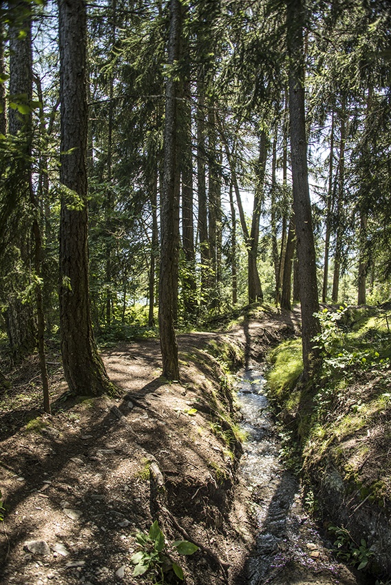
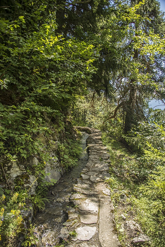
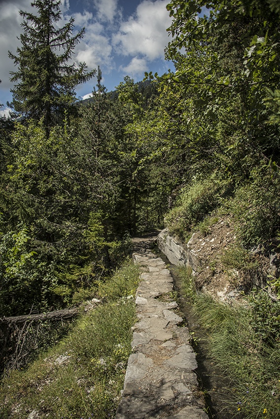
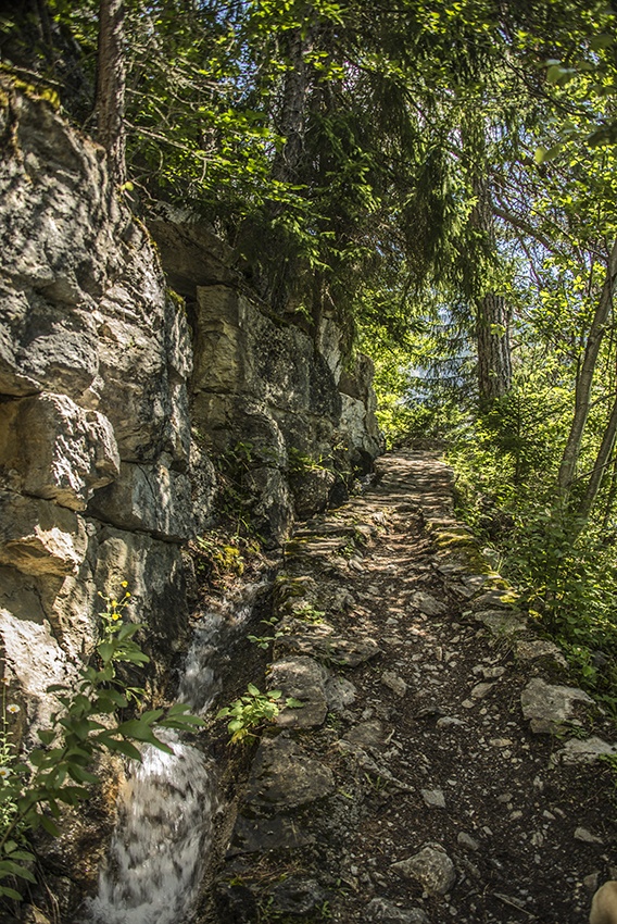
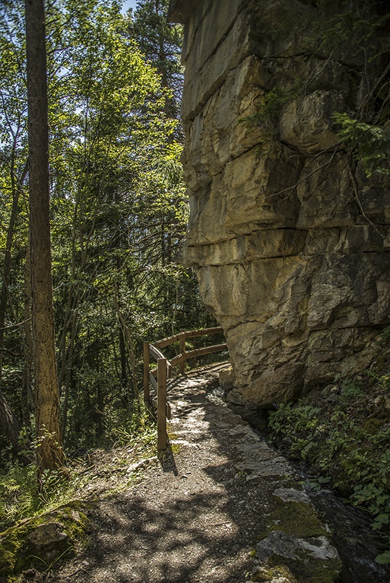
Built during the 15th century, it flows partly in the open air and partly through a channel. Informative panels mark the route of this irrigation channel.

Total length
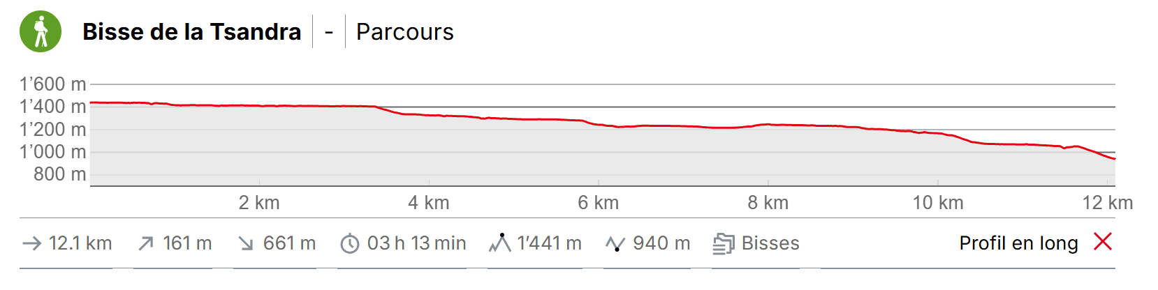
Approximately 11 km.

Walking time
Approximately 3 hours to Aven.

Altitude
Between 1000 and 1400 metres.

National hiking map 1:50’000
273T Montana

Best period
Mid-May to mid-October.
This bisse contains water from early June to late October.

Difficulty
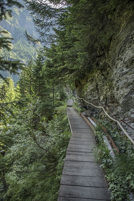
Auf der Strecke Petit Bisse gibt es ein oder zwei Luftbrücken, die umgangen werden können, indem man 1 km weiter unten auf den Startpunkt der Petit Bisse trifft und dann eine Forststraße nimmt, die rechts von der Hauptstraße hinaufführt.
Useful information
Itinerary
Departure
To begin, take the bus from Sion to Grande Zour. The stop is located at the bridge over the Morge. Follow the road back towards Sion for about a hundred metres and join the Petit Bisse a few metres above the road on the right.
Itinerary
Follow the path of the Petit Bisse until you reach the Bisse de la Tsandra at Mayens de My. At the end of the Petit Bisse, descend towards La Dare – Mayens de My to reach the start of the Bisse de la Tsandra and follow this until you reach Aven (Conthey). From this village take the bus back to Sion.