Bisse de Vex


Location
Planchouet, Veysonnaz, Mayens de Sion, to the left of the Rhône.

Descriptif
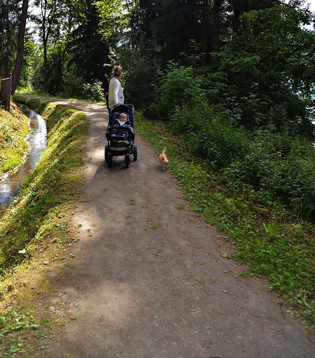
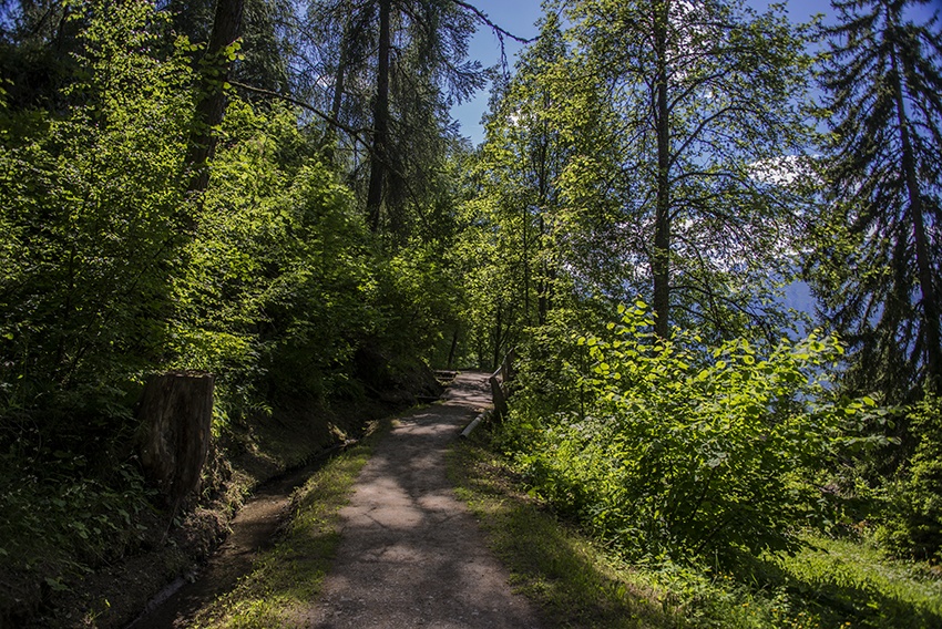
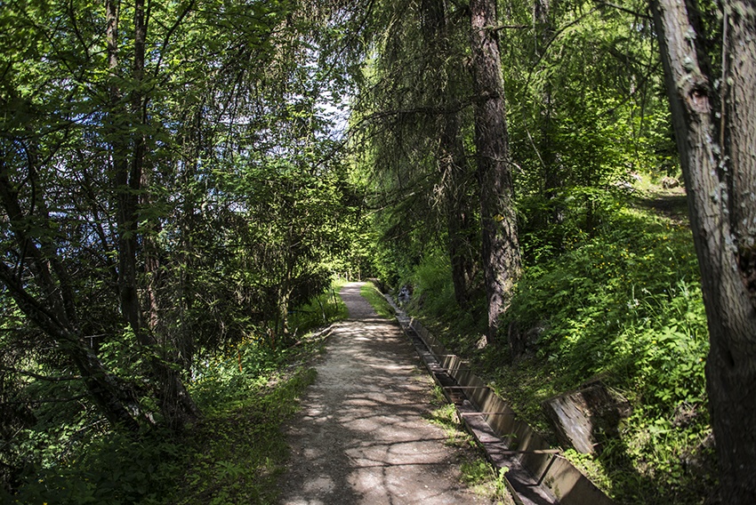
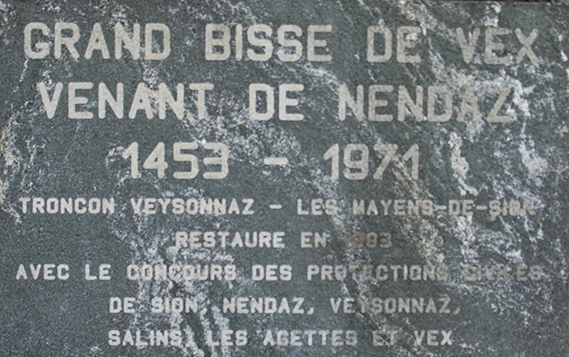
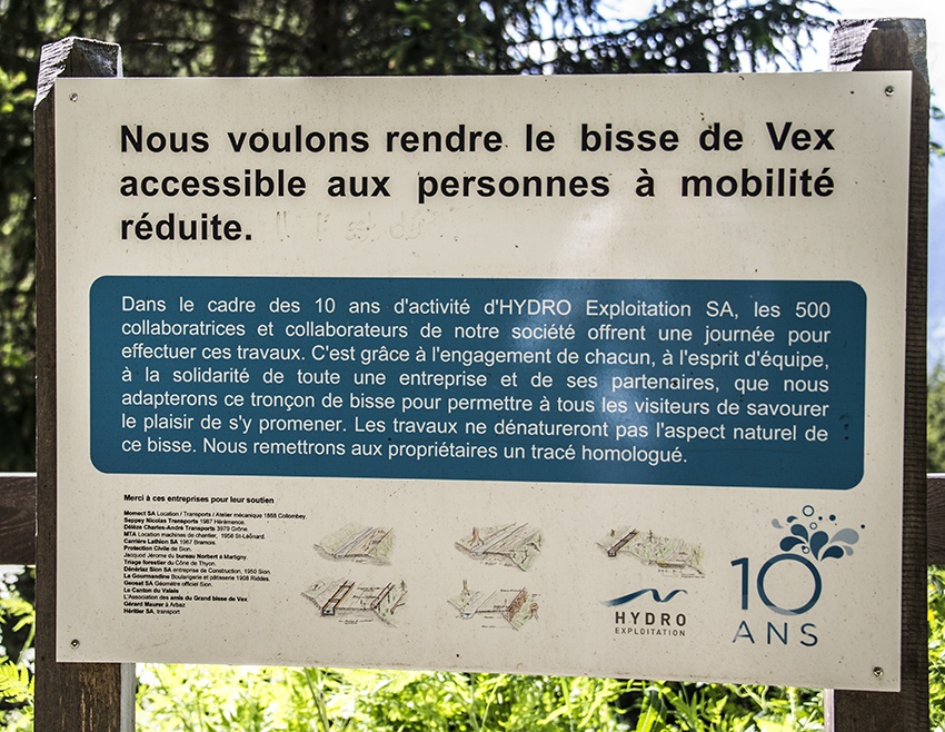
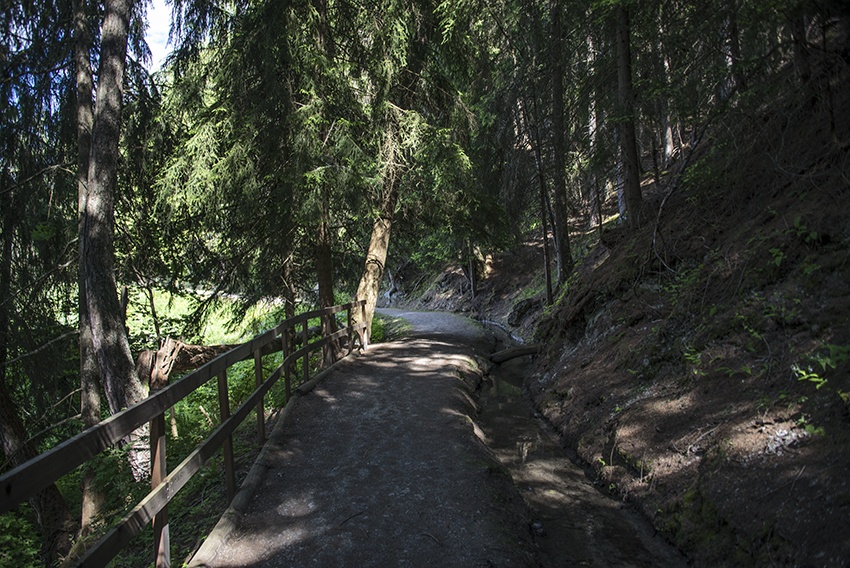
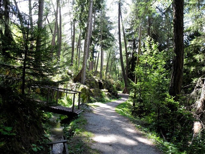
Built in the early 15th century, this irrigation channel is entirely filled with water. Also known as the “Grand Bisse de Vex”. Accessible by stroller or for people with reduced mobility. Closed until 2028.

Total length
12 km.

Walking time
Approximately 3 hours, without the return trip.

Altitude
Between 1500 and 1350 metres.

National hiking map 1:50’000
273T Montana

Best period
This bisse contains water from mid-May to mid-October.

Difficulty
Easy way
Useful information
Navette des Bisses: A shuttle bus runs between the start and end points of the Bisse d’en Bas, Bisse du Milieu, Bisse Vieux and Bisse de Vex. Please consult the timetable at the local tourist office.
This bisse is part of the itinerary «Chemin des bisses en 3 jours de marche» about which you can find details on this site.
During the summer, the stretch from Veysonnaz to Mayens de Sion is very busy and is suitable for push-chairs and those with reduced mobility.
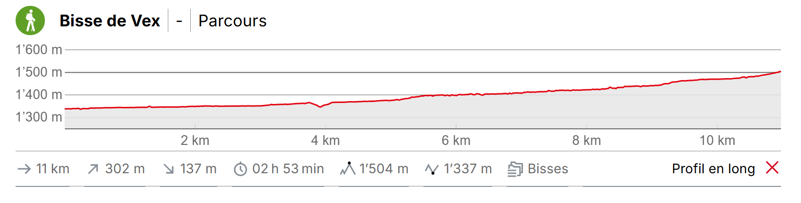
Itinerary
Departure
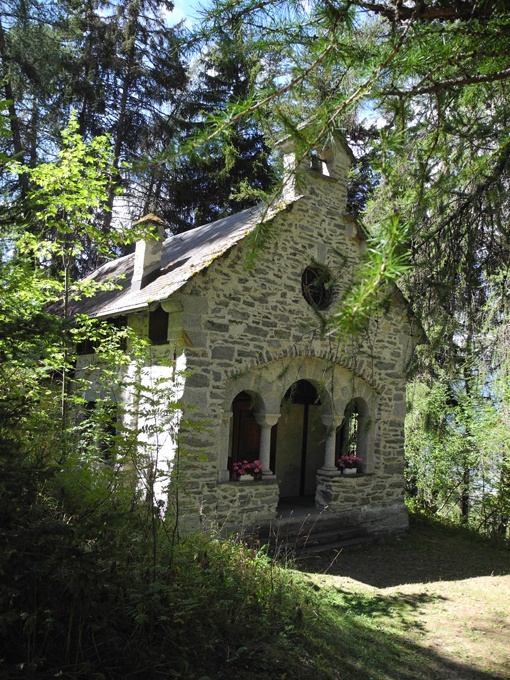
This bisse can be walked from the Mayens de Sion East (sign-posts), or from Planchouet chapel by continuing to follow the very steep road that descends towards the valley floor. After about 200 metres decent you will reach the starting point the bisse on your right (sign-posted).
Itinerary
When you reach Veysonnaz, going from Mayens de Sion to Planchouet, the bisse continues immediately after the gondola station, and, in the Planchouet to Mayens de Sion direction, the bisse continues just below the road and joins the “Piste de l’Ours“ (follow the sign-posts).