Bisses du Tsanpé et Déjore

Location
To the right of the Rhône, in the Mayens de Binii area of Savièse.

Descriptif
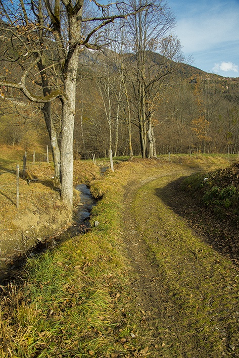
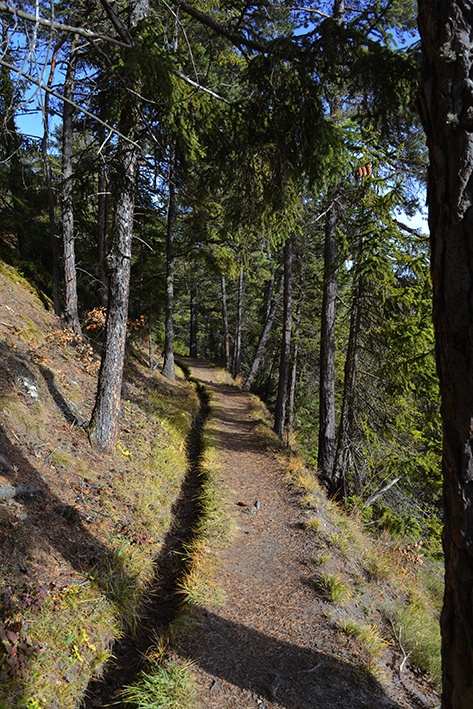
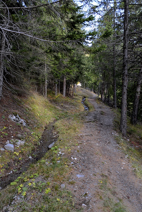
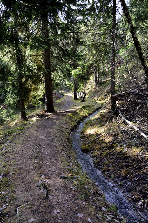
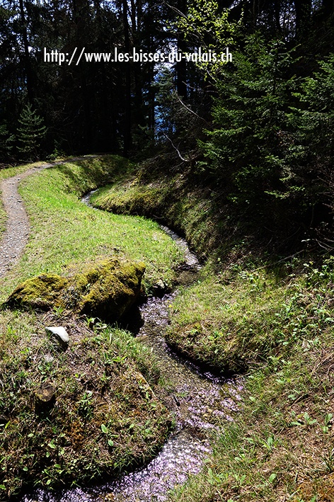
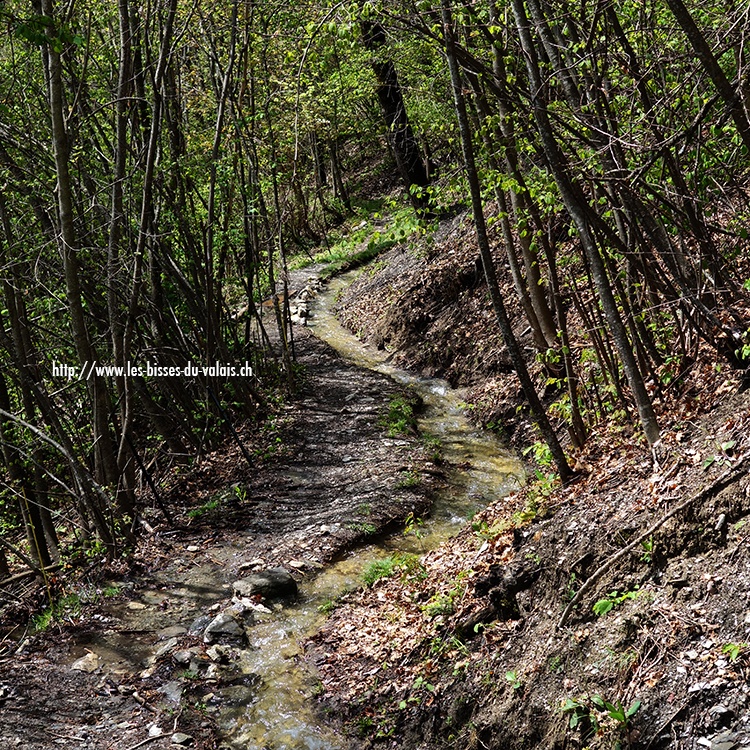
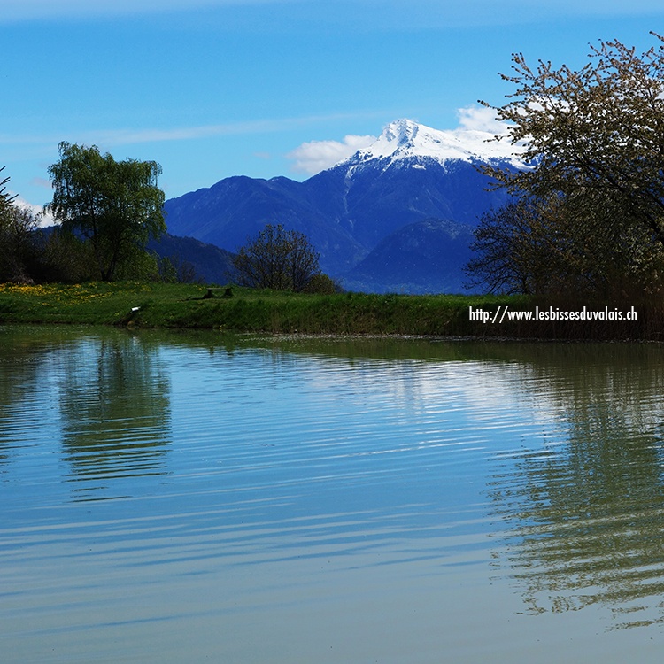
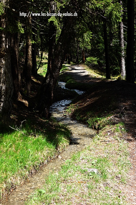
The two irrigation channels (bisses) date from the 13th century and form a loop from the Etang des Rochers in Binii (Savièse). Due to avalanche-related problems, the water intakes are piped.

Total length
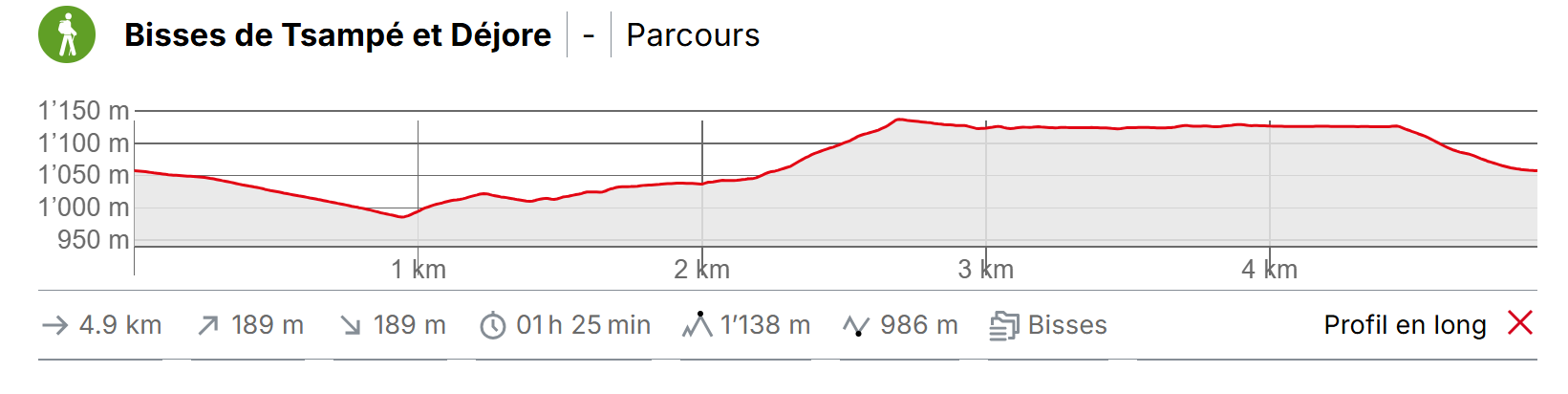
5 km

Walking time
Approximately 1.5 hours

Altitude
Between 950 and 1150 metres.

National hiking map 1:50’000
272 T Montana

Best period
–

Difficulty
–
Useful information
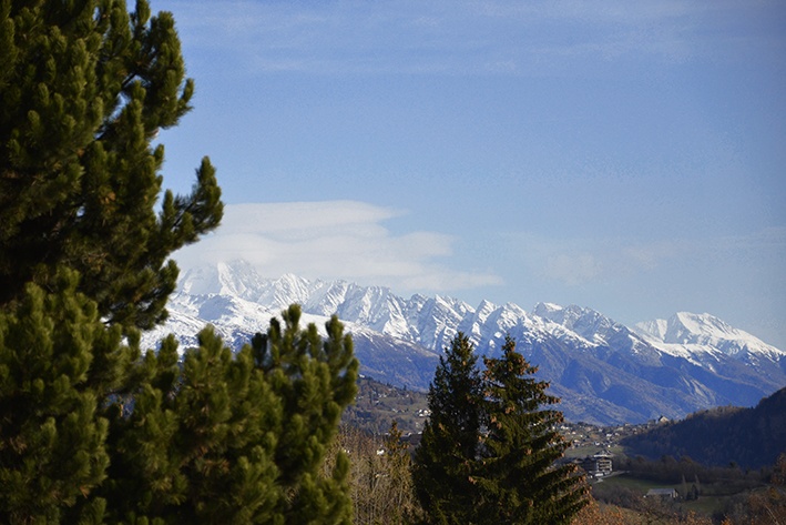
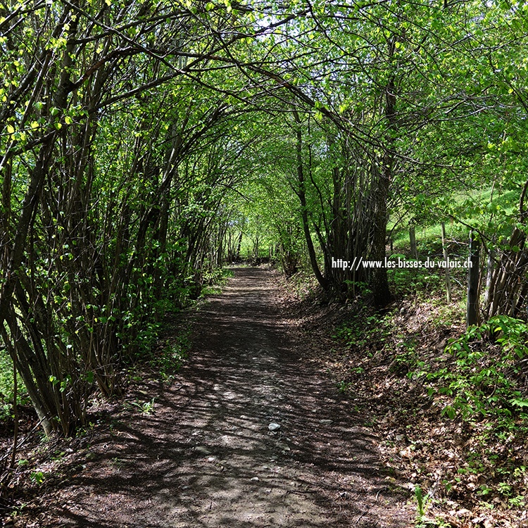
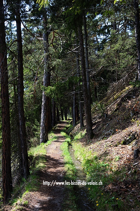
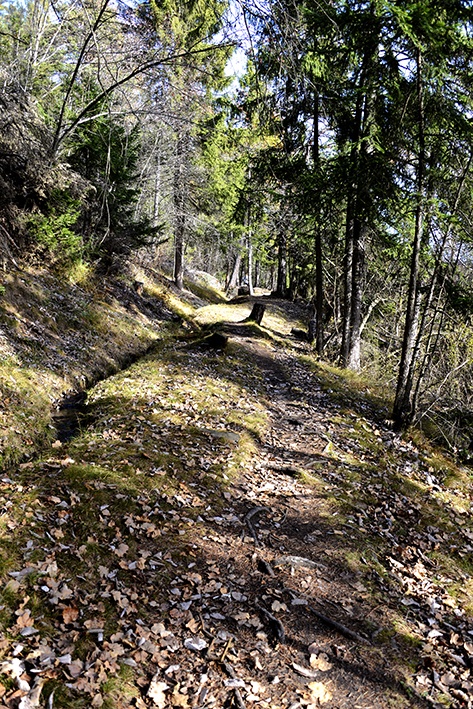
Two charming varied and shady bisses. The trail is much less busy than the Bisse du Torrent Neuf and the quiet is most agreeable.
Comments
This trail can follow on from or precede the Bisse de Savièse/Torrent Neuf. Near the Prafirmin bus-stop, you will find sign-posts for these trails.
Itinerary
Departure & Itinerary
From the Etang des Rochers bus stop in the Mayens de Binii / Savièse, follow the Route de la Combettaz for about 400 metres and take an agricultural road to your left sign-posted «Bisse du Tsampé». When you reach the bisse, after about 30 minutes walking, you will arrive at an area called «Pra Bacon». Follow the forest road uphill towards Bisse du Déjore for about 15 minutes (North direction.Do not follow the torrent to the North West). When you reach the Bisse du Déjore, head west to Prafirmin. When you meet a tarmac road to Prarainson follow it until the intersection with Route de Mossevron. Opposite the Prafirmin bus-stop, take the Route du Réservoir to your starting point, the Etang des Rochers.