Bisse de Tsa-Crêta

Location
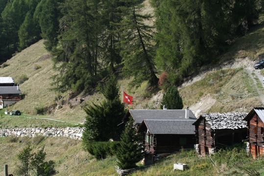
Mayens des Praz above Mase in the Val d’Hérens, to the left side of the Rhône.

Descriptif
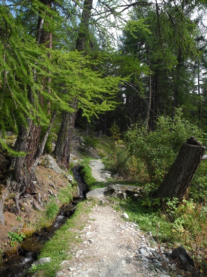
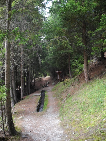
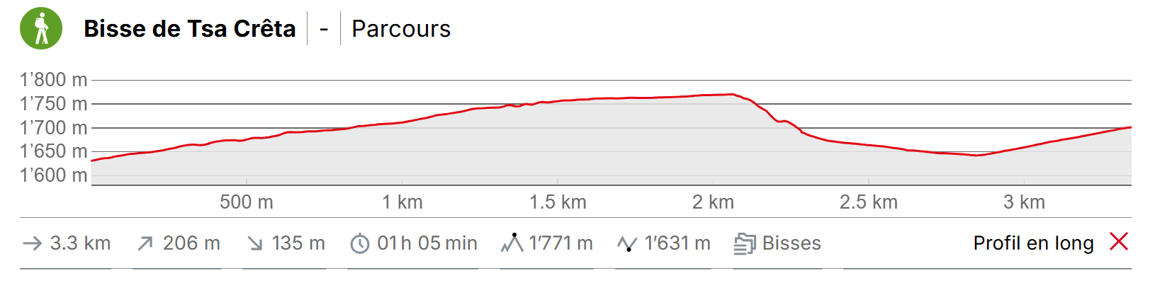
Built during the 14th century and restored in the mid-2000s. Informative panels explaining the social organization and irrigation rules mark the route of this bisse.

Total length
3 km

Walking time
2 hours

Altitude
Between 1800 and 1500 metres.

National hiking map 1:50’000
273T Montana

Best period
This bisse contains water from mid-May to mid-October.

Difficulty
Easy way
Useful information
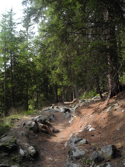
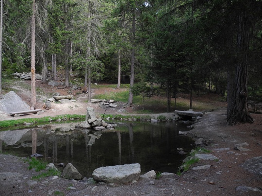
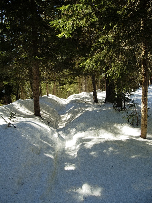
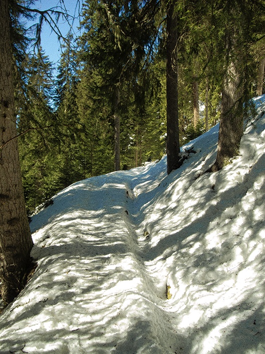
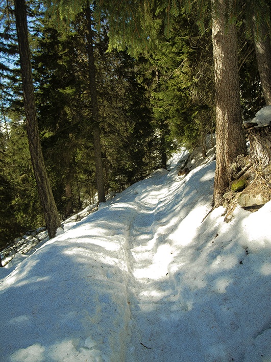
A very lovely shady walk. Towards the middle of the walk there is a little pond where one can easily organize a picnic or even a barbecue. Where the bisse takes water you will also find some nice picnic spots.
Itinerary
Departure
Approximately 1 km after Mase in the direction of St Martin, take the road ascending to the left (there is a sign-post). The bisse begins at 1525 m. After about 3 km you reach the car park and the first educational panel of the bisse (GPS 46°11’59’ N /°26’31’’ E).
Itinerary
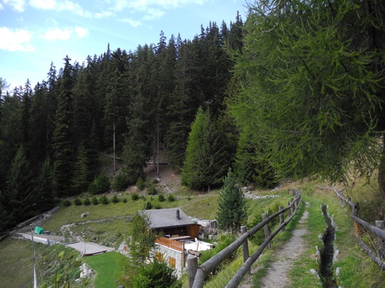
Follow the bisse until it takes water. For the return you can loop by La Rimble or Mayens de Praz. These two return trips start where the bisse takes water. For La Rimble, climb towards the Mase pastures and for Mayens de Praz follow the sign-posts for Sentiers Didactiques descending, cross Mayens de Parz and join the forest road (GPS 46°11’47’’ N 7°27’30’’ E) which climbs in the direction of the bisse to reach your starting point.