Bisse du Torrent Neuf/Savièse





Location
Savièse, to the right of the Rhône, above Sion

Descriptif
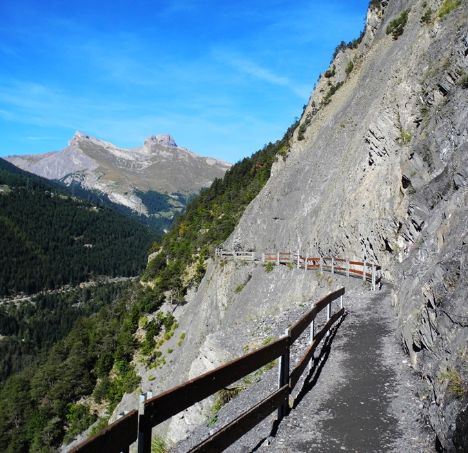
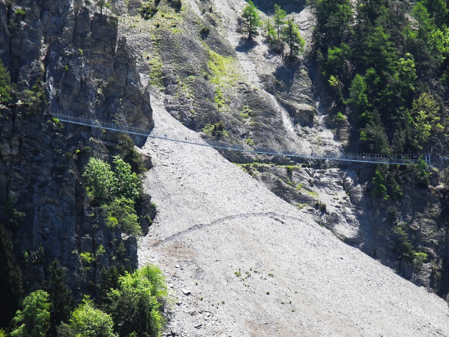
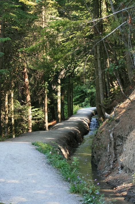
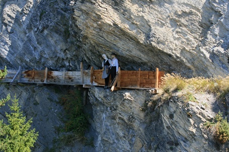
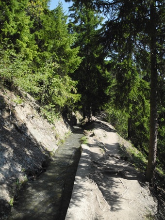
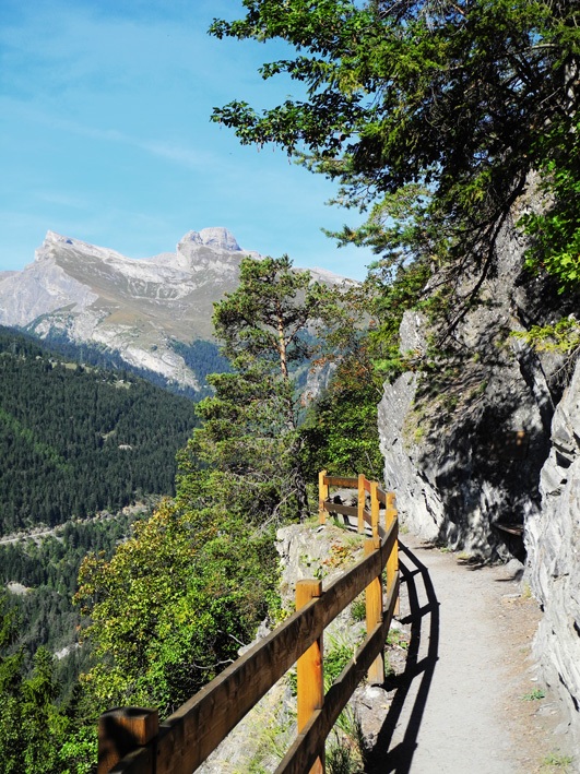
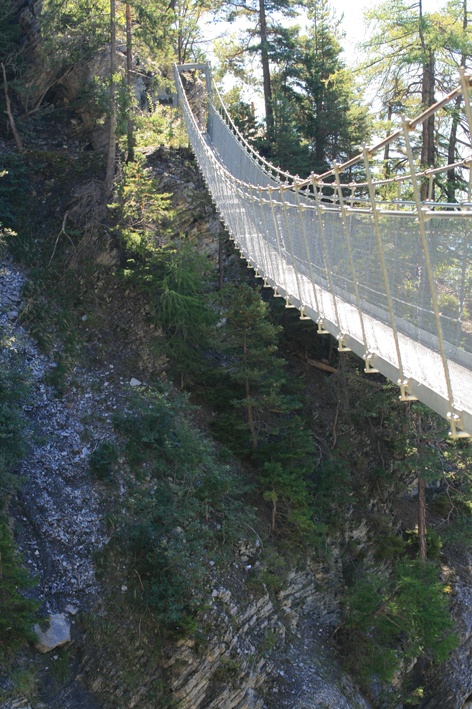
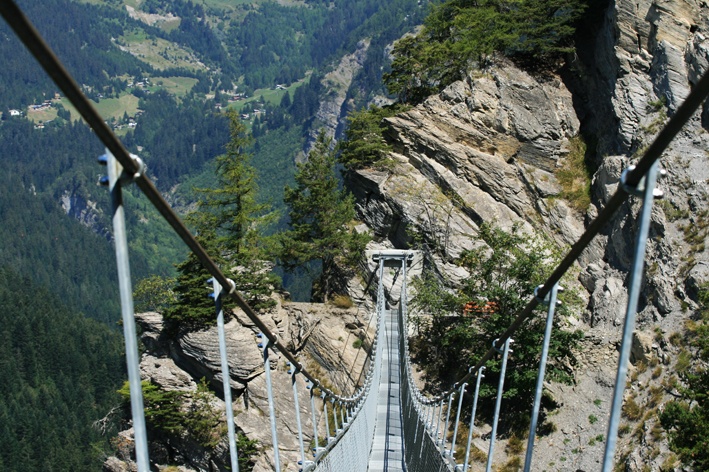
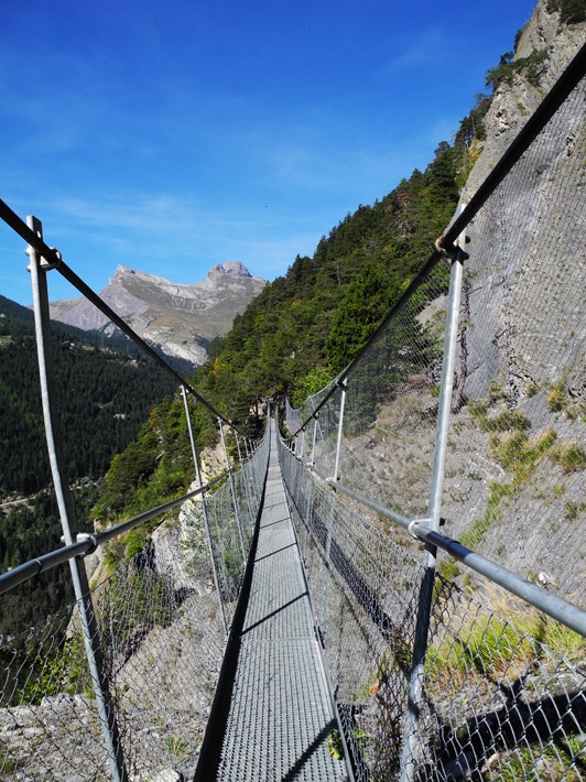
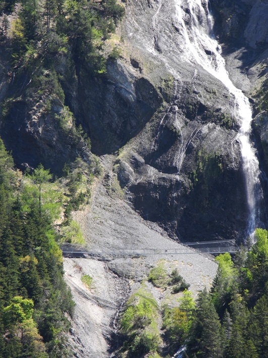
Built at the beginning of the 15th century, this irrigation channel is also known as the “Torrent Neuf irrigation channel” and features a spectacular route through vertiginous walls.

Total length
Approximately 8 km without the return trip

Walking time
2 to 3 hours without the return trip

Altitude
Between 1100 and 1300 metres.

National hiking map 1:50’000
273 T Montana

Best period
June to October

Difficulty
This activity is dizzying and not recommended for people who suffer from vertigo. If you are accompanied by children, constant supervision is strongly advised.
Useful information
This bisse is very popular. Early on the morning or towards the end of the day you will meet fewer people. The trail is sunny in the afternoon.
The entire trail is perfectly safe. Apart from a risk of rock falls in a few places it is only your nerves which are at risk!
After the second suspension bridge you will find a few tables for picnicking. At the end of the walk, near the refuge du Brac, there is a simple charming café with a magnificent meadow where you can also picnic.
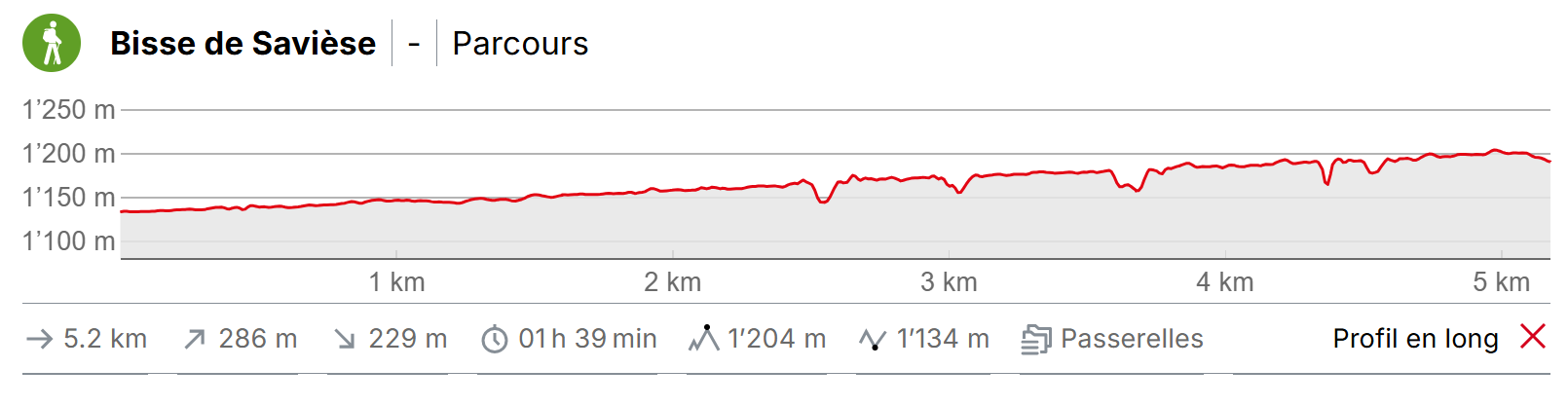
Itinerary
Departure & Itinerary
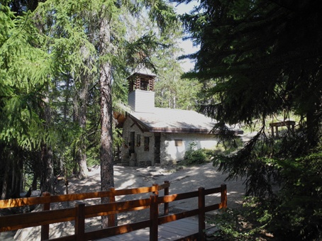
Begin your walk at Prafirmin (GPS 46°15’54’’N 7°21’2’’ E) and follow the bisse to the St Marguerite Chapel. It is from this point that the path becomes vertiginous with several suspension bridges over the void. You can also reach the bisse from Binii. At the roundabout in the middle of the village of St Germain, follow the sign-post for Bisse de Savièse, Torrent Neuf and follow the road as far as Binii where the first car park is located. You can continue by car to the second car park if it not a Sunday. From either car park you can find sign-posts for the bisse.