Bisse du Ro



Location
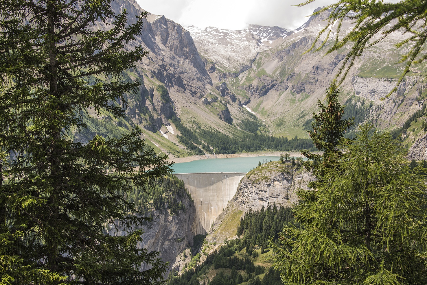
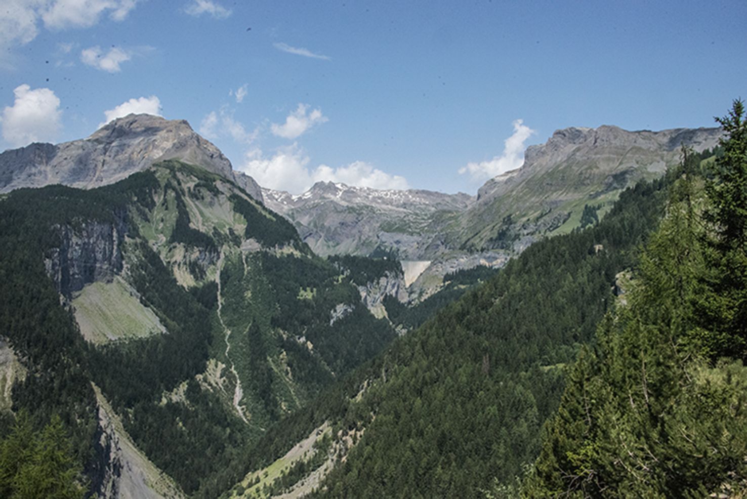
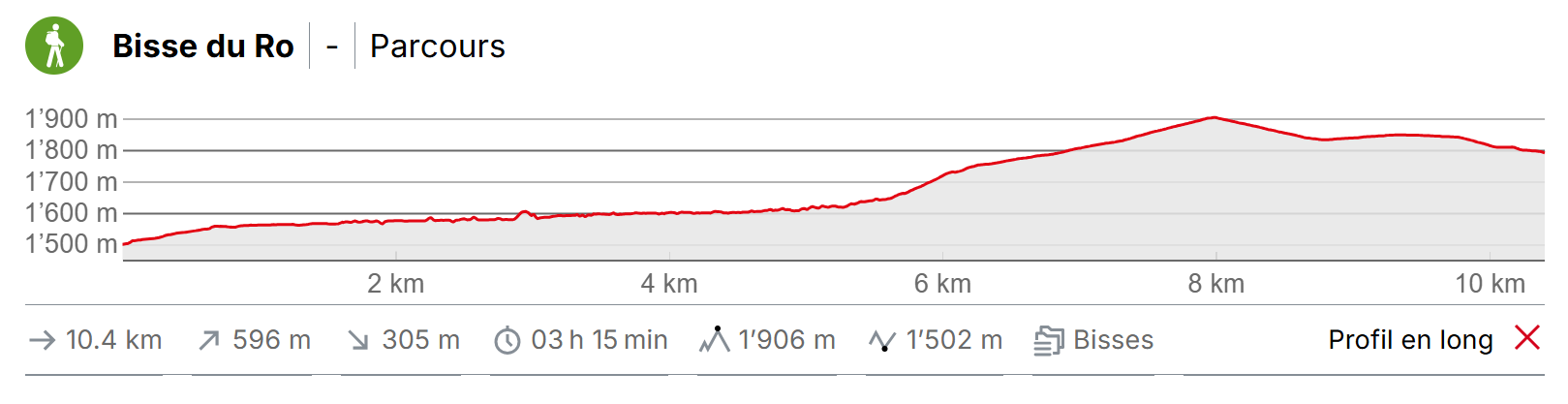
Betwen Crans-Montana and the Tzeusier Dam to the right of the Rhône

Descriptif
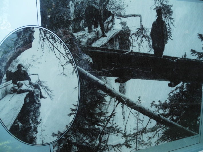
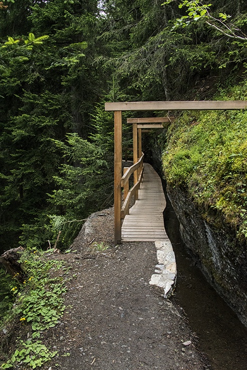
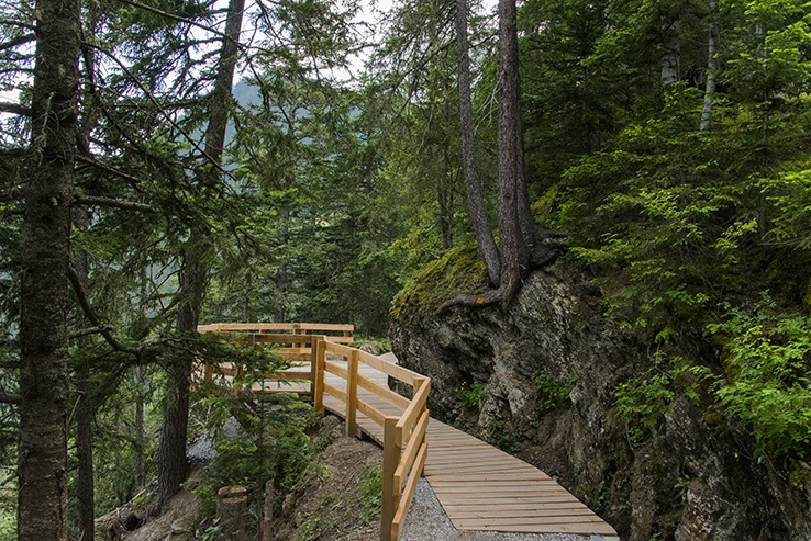
Built in the 14th century, it was fully canalized in the mid-20th century. Informative panels explaining the social organization and irrigation rules mark the route of this bisse.

Total length
6 km

Walking time
2 to 3 hours without the return trip

Altitude
Between 1450 and 1750 metres.

National hiking map 1:50’000
273 T Montana

Best period
From June to September. Contains water from late April to late September.

Difficulty
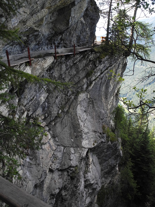
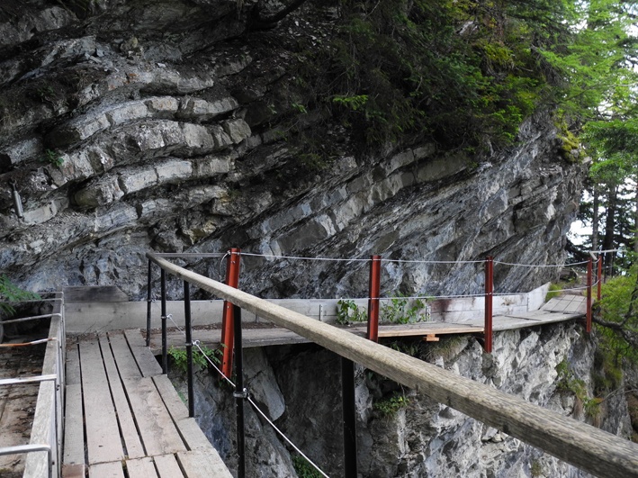
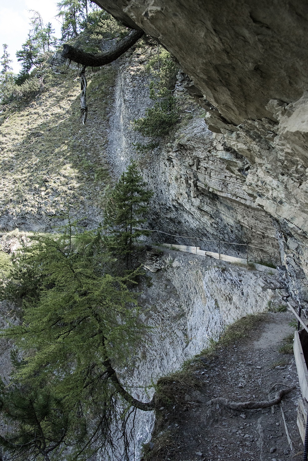
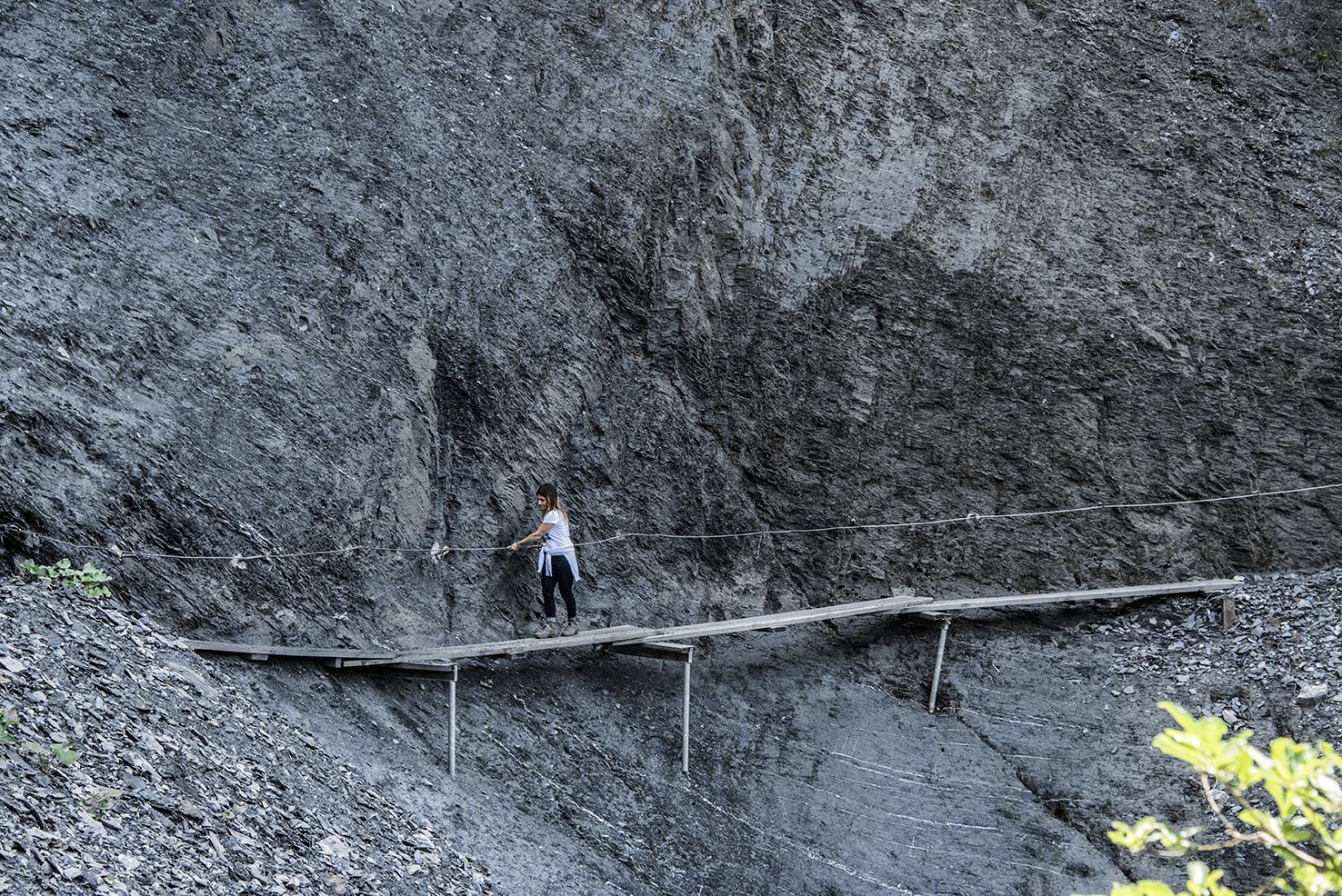
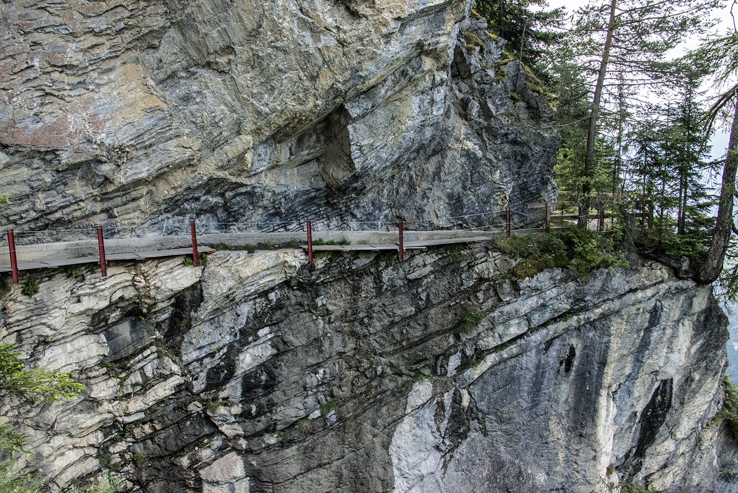
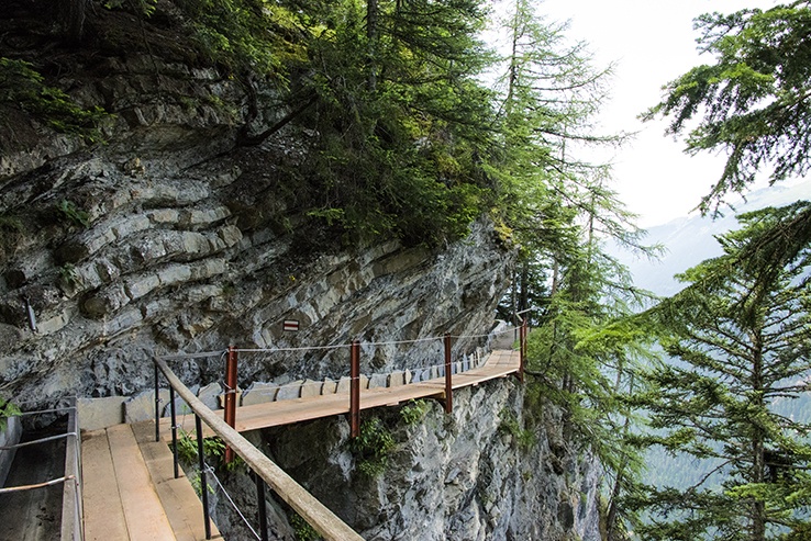
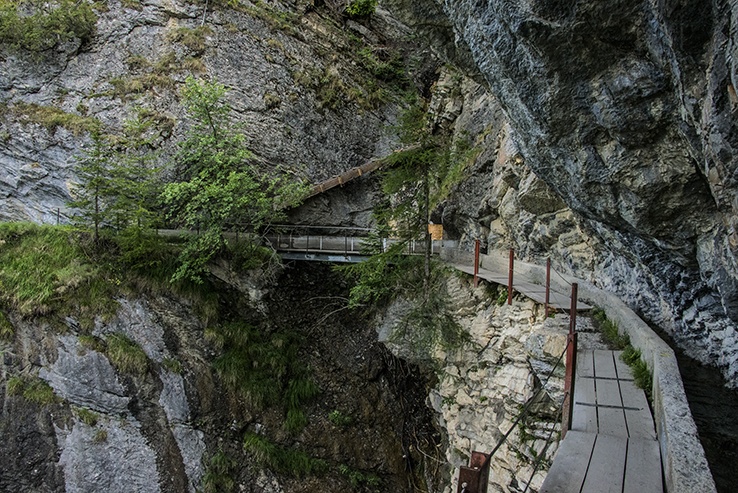
The trail is spectacular and, although quite safe, passes by vertiginous cliffs and is not suitable for those suffering from a fear of heights.
Useful information
A very beautiful and impressive trail for the sure-footed walker. You should only tackle this walk in dry weather and during the summer months. It is strongly discouraged during the winter.
At the water intake of the bisse, to reach the Zeuzier lake there is a 400 metre climb and a 200 metre descent. For Belle Lui, there is a 600 metre climb. For Lens or Icogne there is a 600 to 800 metre descent. You will find many beautiful places to picnic.
Crans-Montana is served all year round by public transport. For the Zeuzier dam (or Rawyl lake), public transport is only effective in summer.
Itinerary
Departure
From Crans-Montana, the route begins at the height of the north-west corner of the Grenon pond and the junction of the Rawyl and Fleurs des Champs roads.
At the water intake of the bisse, you can reach the Zeuzier Dam, Bellalui, Icogne or Lens. There are sign-posts for these itineraries. For Zeuzier and Bellalui, the climb is quite steep. For Icogne and Lens, the descent is also steep.