Bisse de Sillonin

Location
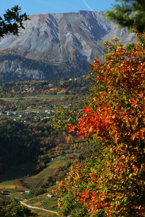
The Lienne valley above St Léonard, to the right of the Rhône.

Descriptif
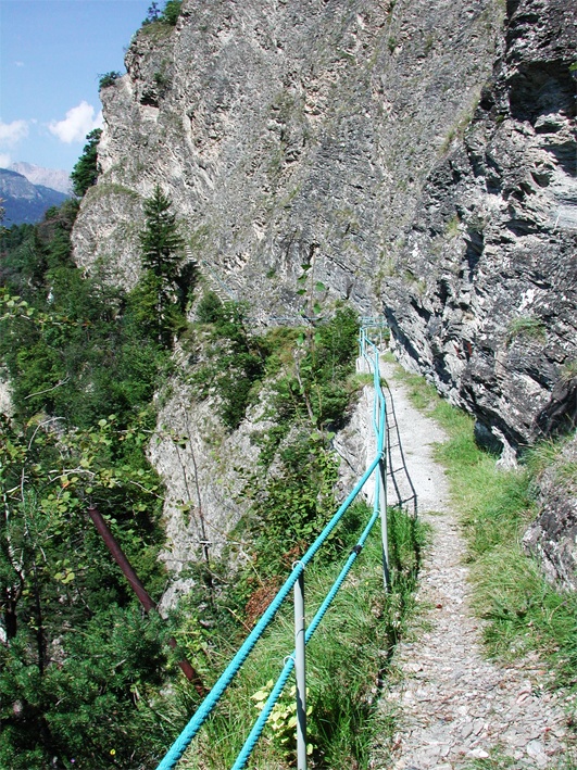
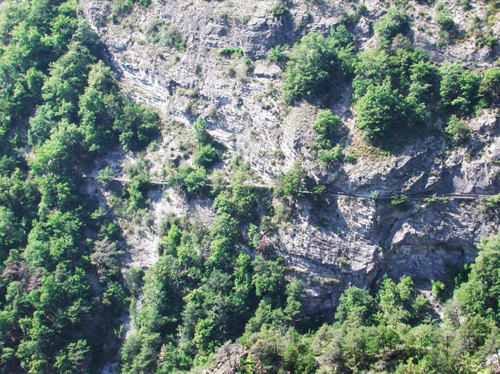
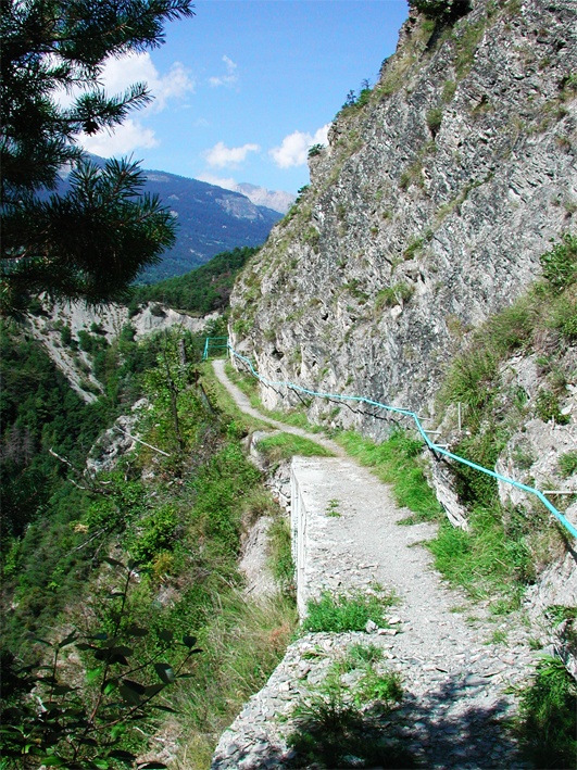
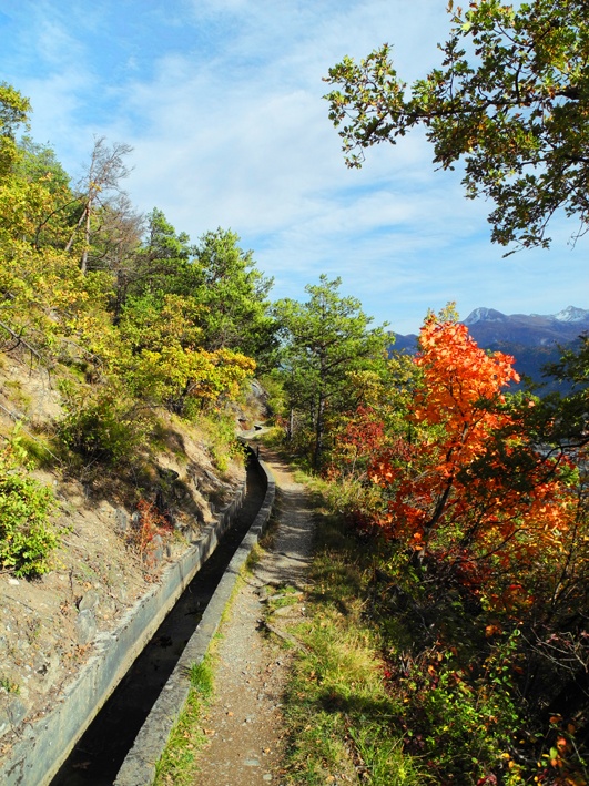
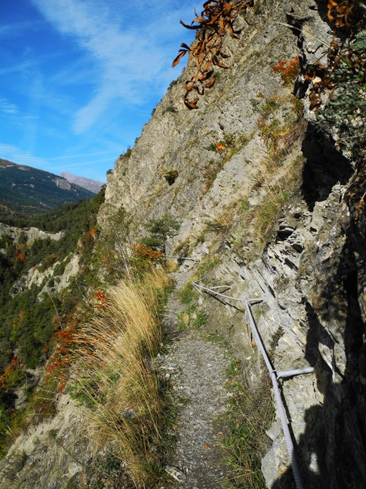
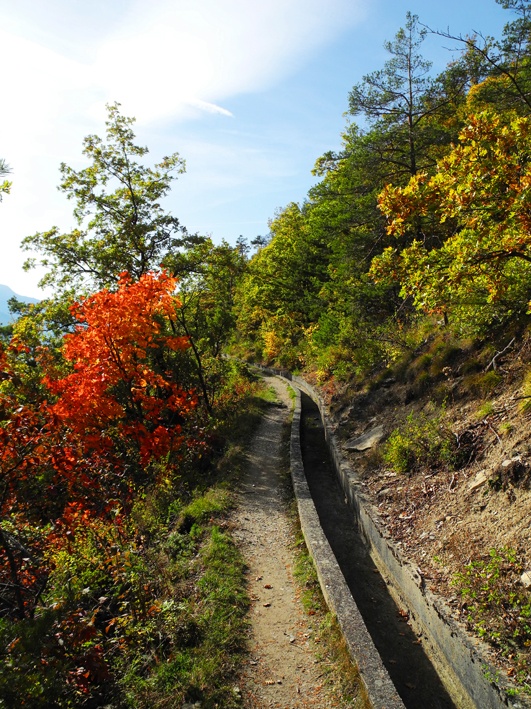
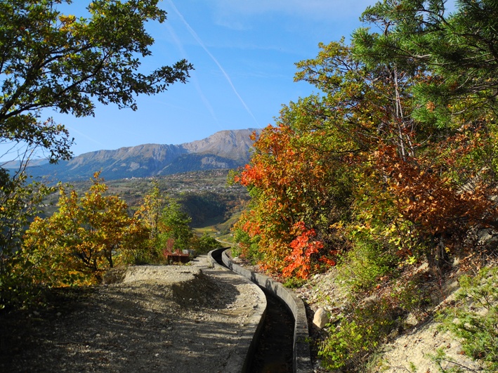
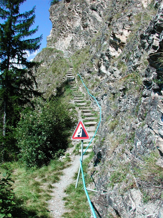
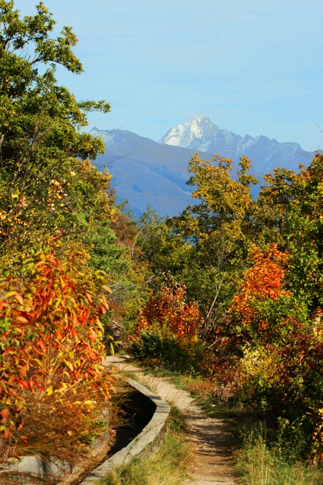
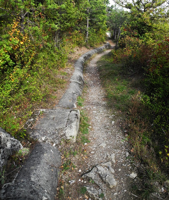
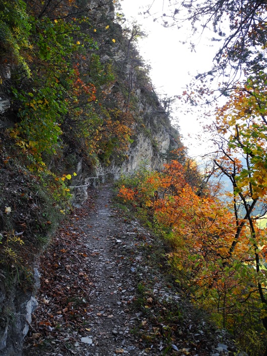
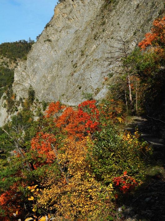
Built in the 1450s, this irrigation channel is abandoned in its upper section. Very spectacular and impressive. It can be hiked following the Clavau irrigation channel or as a loop with the Grand Lens irrigation channel.

Total length
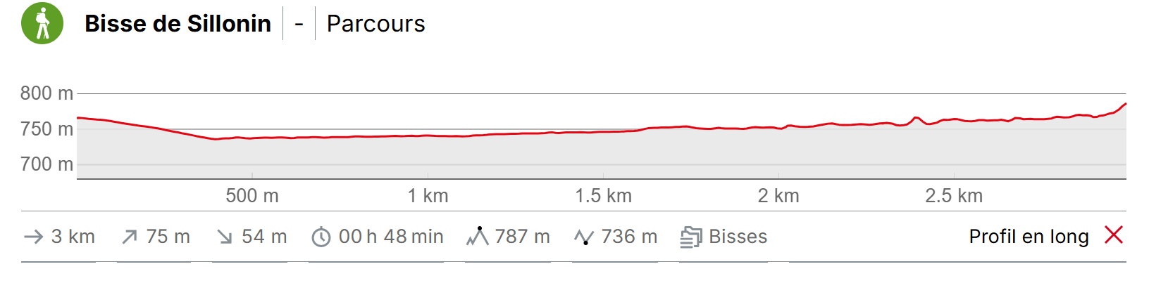
8 to 10 km.

Walking time
Between 2 and 3 hours.

Altitude
Between 950 and 700 metres.

National hiking map 1:50’000
no. 273T Montana.

Best period
This bisse contains water from mid-April to mid-October.

Difficulty
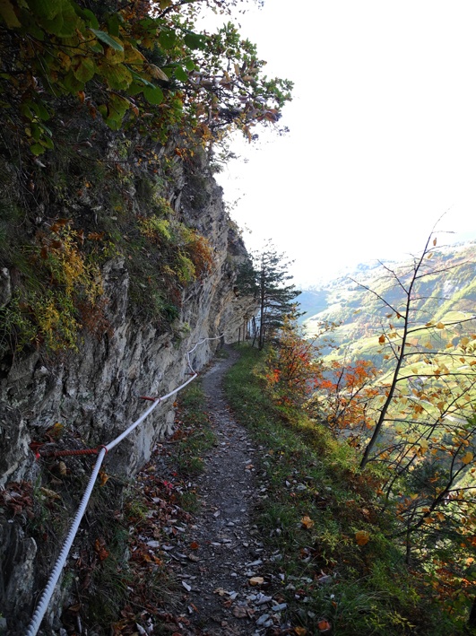
A stretch of the trail is quite sheer and not recommended for those suffering from a fear of heights.
Useful information
This bisse passes cheer cliffs and is quite spectacular. However, in terms of safety comparable with the Bisse de Savièse. You will need to be sure footed and not suffer from a fear of heights. Consider setting off in only in the best weather conditions and equipped with good walking boots. We strongly discourage this walk in winter, in poor weather or with children.
Itinerary
Departure
From the village of Chelin (Flanthey), cross the village and take the Route de l’Ormy. The beginning of the bisse can be found above the road about 300 metres after the village (GPS 46°15’52’’ M 7°26’24’’ E).
Itinerary
Follow the bisse west and when you enter the Lienne valley the trail becomes quite impressive and spectacular. Continue to the bottom of the small valley where you can join the itinerary for the Bisse de Lens or the Bisse de Clavau.