Bisse des Ravines



Location
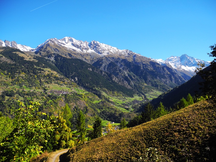
This bisse is situated in the Val de Bagnes, to the left side of the valley above Bruson.

Descriptif
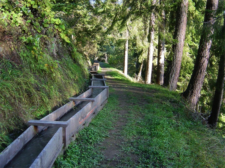
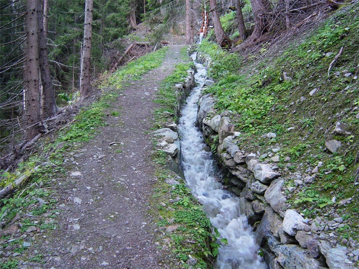
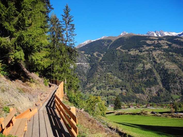
Put into service in 1908, abandoned since 1942, it has been fully rehabilitated and inaugurated since October 2013.

Total length
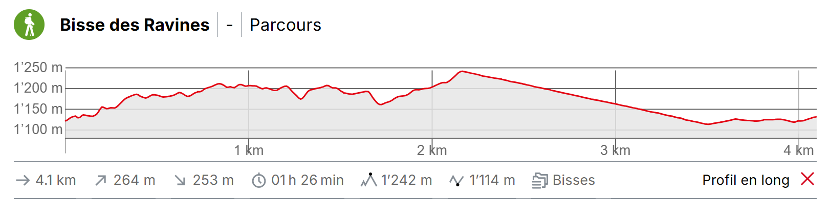
Approximately 2.5 km.

Walking time
Approximately 2 hours, including the return trip.

Altitude
Between 1000 and 1300 metres.

National hiking map 1:50’000
no. 272 Martigny.

Best period
May to October.
This bisse contains water from mid-May to mid-October.

Difficulty
There are no particular difficulties.
Useful information
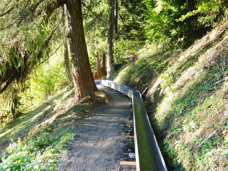
An enjoyable varied trail, the restoration of the bisse is remarkable.
Itinerary
Departure
Below the village of Bruson, about 200 metres above the village, there is a car park in a bend (follow rte de Valbord). The path to reach the bisse begins in the hairpin bend opposite the car park. Climb for about 50 metres along the river until you cross a little bridge going east. Follow the path which is quite flat until you reach a steep ascent lasting about 10 minutes. This is the start of the bisse.
Itinerary
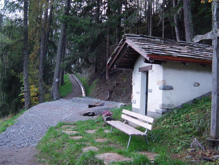
Follow the path of the bisse until the point at which it takes water. For the way back, you can take a forest track which descends to just above the village of Bruson. To do so, take a path that starts above the bisse about 100 metres after the wooden waterfall. After about 50 metres you will reach the forest road which you follow downhill. When you arrive in Bruson, follow the agricultural road uphill to where the bisse starts. uphill to where the bisse starts.