Bisse de Ricard


Location
Between Réchy and Chippis, to the left of the Rhône.

Descriptif
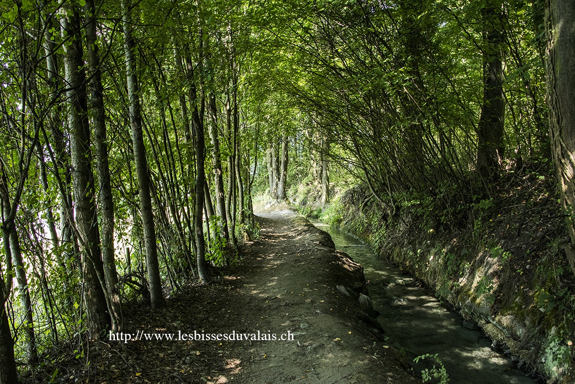
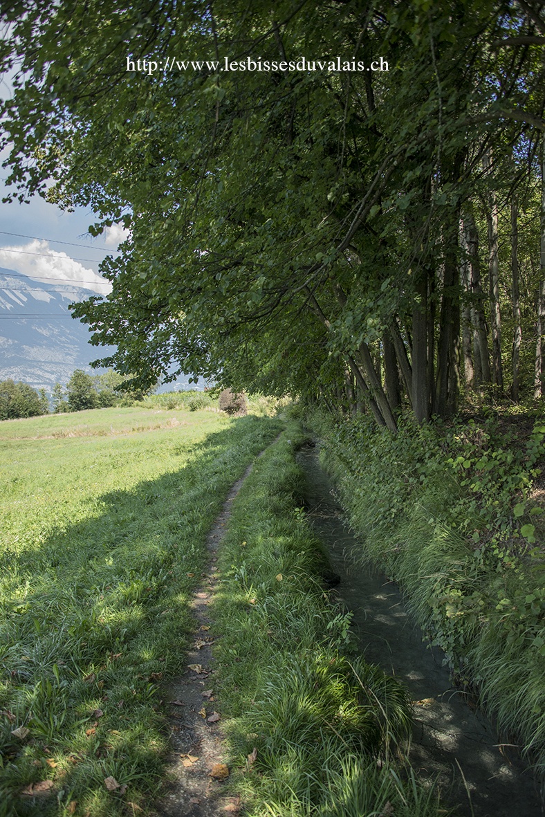
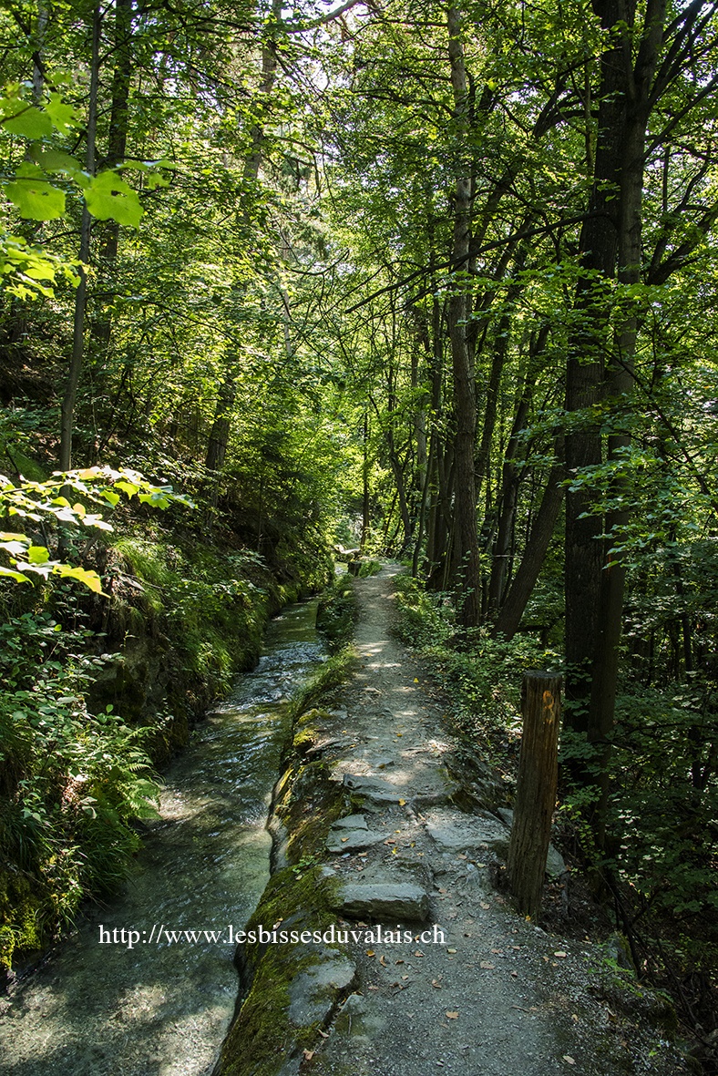
Built in the fifteenth century, this bisse offers a magnificent trail above the Rhône valley.

Total length
7 km.

Walking time
2 hours without the return trip.

Altitude
Between 650 and 700 metres.

National hiking map 1:50’000
241 T Val-de-travers

Best period
April to November.

Difficulty
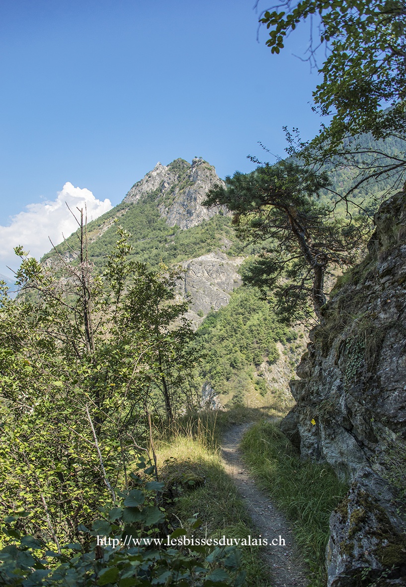
No particular difficulty if you don’t go further than the tunnel of the bisse. After this point on the old trail the bisse is very steep and even dangerous, despite the hand-rail in place for the most perilous stretches.
Useful information
If you decide to walk further, you do so at your own risk. The trail is arduous and vertiginous. The most dangerous and exposed stretches are served by a hand-rail in the form of cables. These don’t protect against rock-falls and land-slides.
Itinerary
Departure & Itinerary
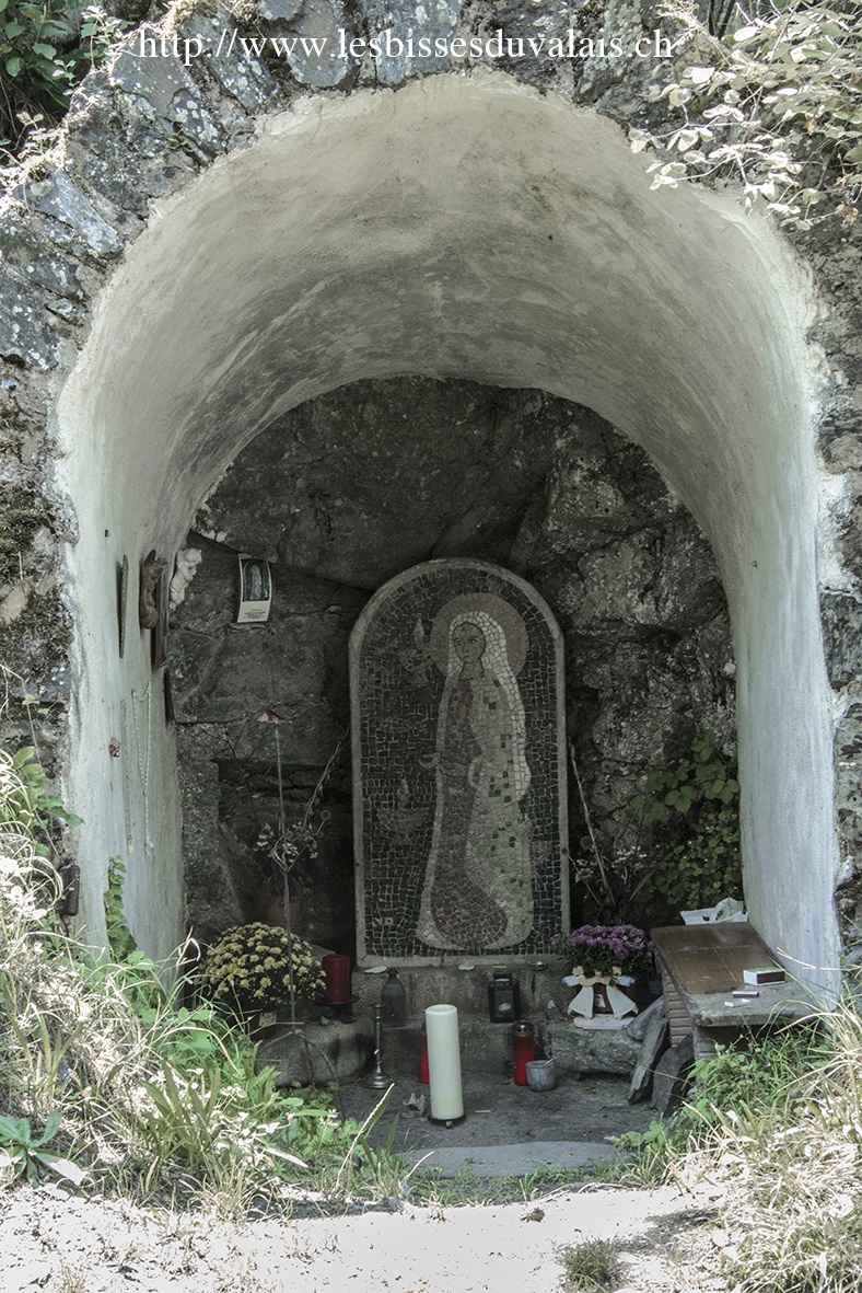
Begin in the middle of the village of Réchy and follow the path for the Vallon de Réchy by way of the Route des Moulins (follow the route no.3 from Chalaisenchalet via Réchy). After ten minutes climbing, you arrive at a hairpin bend. Fifty metres after this bend, take the forest track which follows the river (La Rèche) in the direction: Mayens de Réchy, l’Ar du Tsan, le Louché, etc. (sign-posts). Follow the road which doubles as a Stations of the Cross trail.
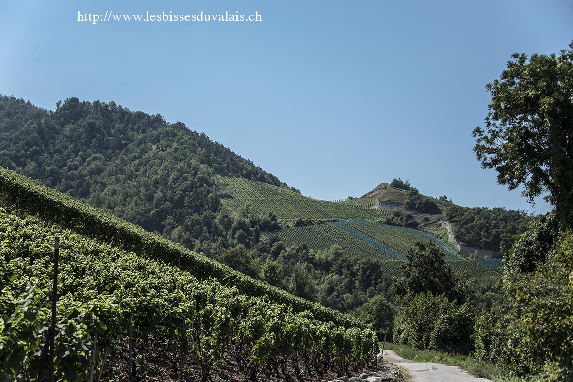
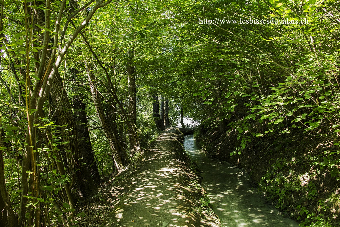
Cross the river and make your way uphill along the bisse. For the first half of the walk the water is channeled through pipes. You cross the vineyards of Réchy and Chalais. When you reach the road to Vercorin via Briey you have only a few hundred metres to go before the bisse crosses a lovely leafy forest. The bisse flows in the open as far as a tunnel built to replace the old spectacular bisse which runs along the left side of the Val d’Anniviers and the Navizence. About 200 metres after the tunnel a very steep path takes you back down to Chippis (until this point the path is safe. It is only later that it becomes dangerous). There is a bus service for the return trip to Réchy. Check the timetable as there is a bus at around midday and another early in the evening.