Heuvete/Moosgufer

Location
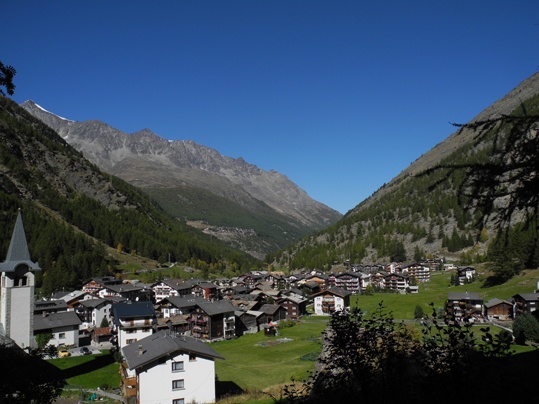
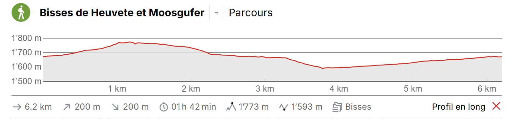
Saas-Almagall in the Saastal to the left of the Rhône above Viège (Visp).

Descriptif
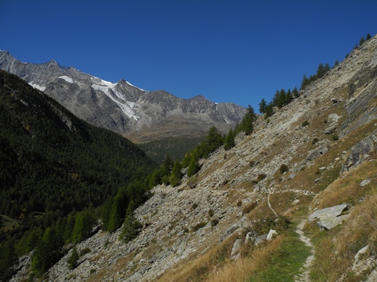
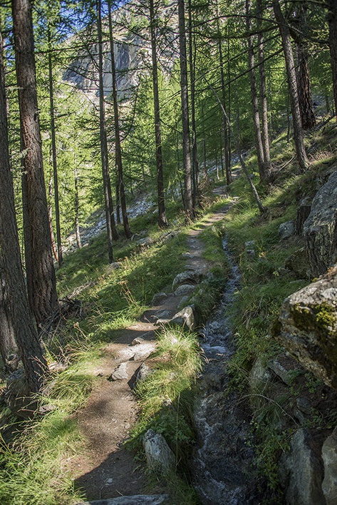
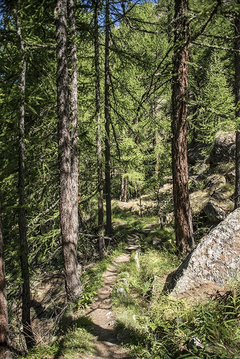
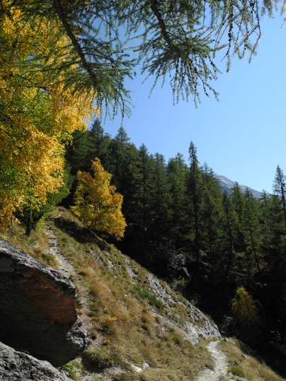
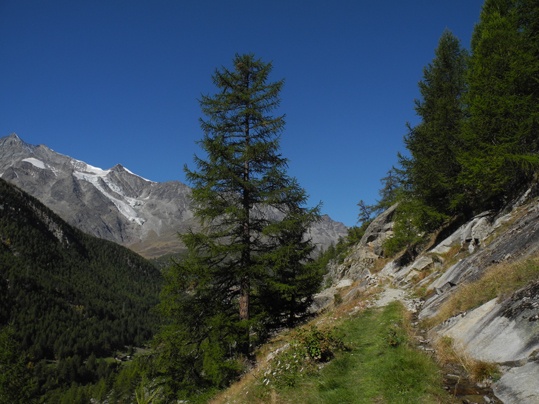
A mineral, calm and pleasant route in a wild environment.

Total length
5 km

Walking time
Approximately 2 hours

Altitude
Between 1800 and 1650 metres.

National hiking map 1:50’000
274 T Viège (Visp).

Best period
mid-June to late September. These two bisses contain water form mid-June to late September.

Difficulty
No particular difficulty.
Useful information
A beautiful region off the beaten tourist track of the Saas valley. A varied and enjoyable, quiet trail.
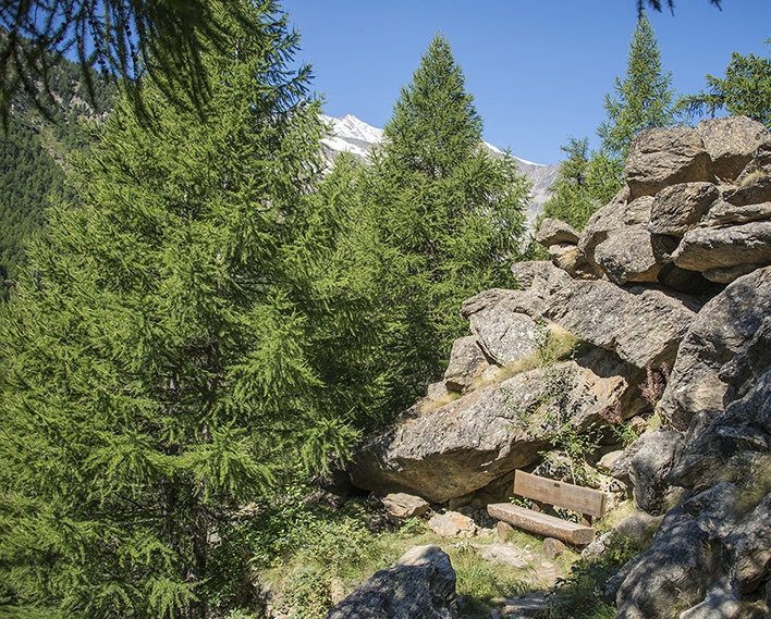
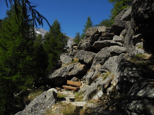
All along the trail you can find benches to admire the view or picnic.
Itinerary
Departure
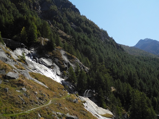
The Bisse du Heuvete starts at Saas Almagell below the chairlift station and climbs steeply to where it takes water in the Almagellebach (about 1km and 150m difference in altitude).
Itinerary
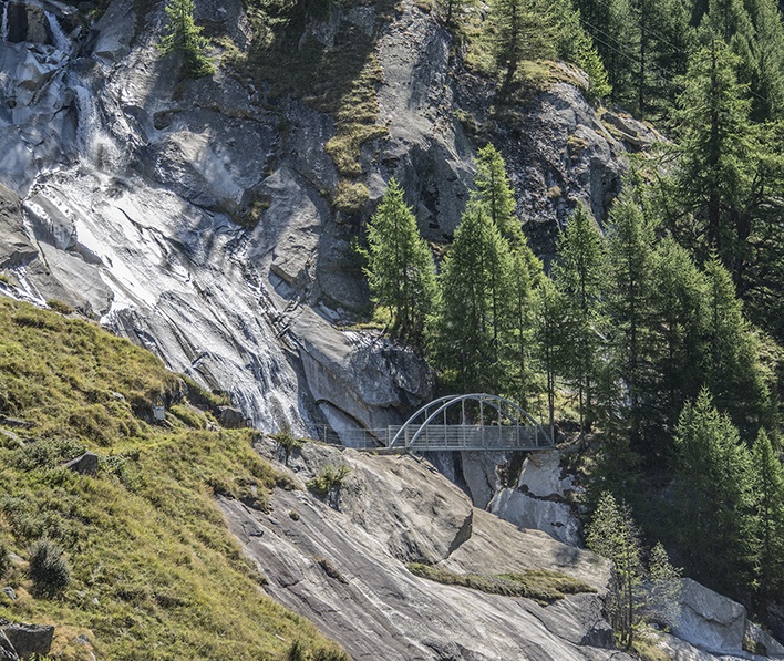
Where the bisse takes water, cross the bridge and continue on the Bisse de Moosgufer as far as Saas Grund. For the return, make your way downhill to Saas Grund to a place called «Unner de Bodme». You can retrace your steps towards Saas-Almagell by a lovely path on the left bank of the Saaservispa river. This trail also works in the opposite direction. Whichever you choose, follow signs for “Almageller-Suone”.