Petit Ruisseau



Location
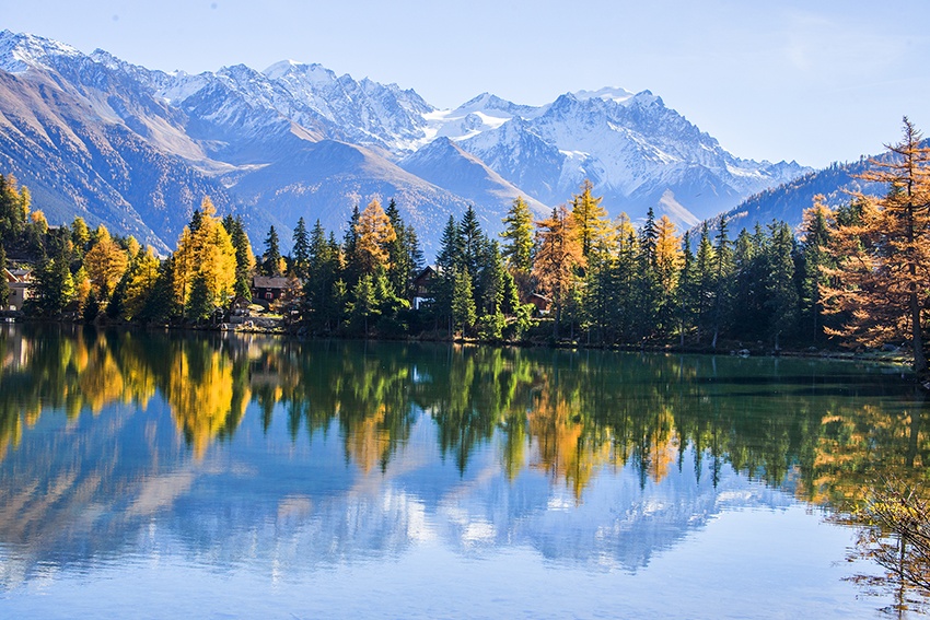
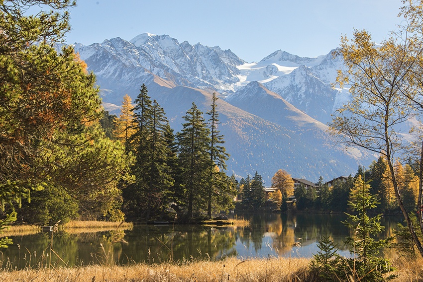
Champex Lac, to the right of the Rhône, above Martigny

Descriptif
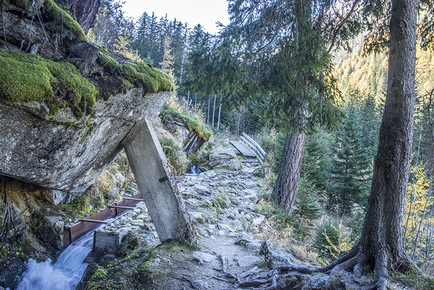
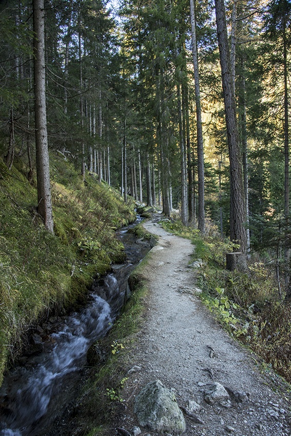
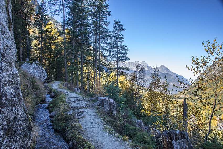
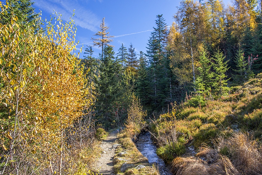
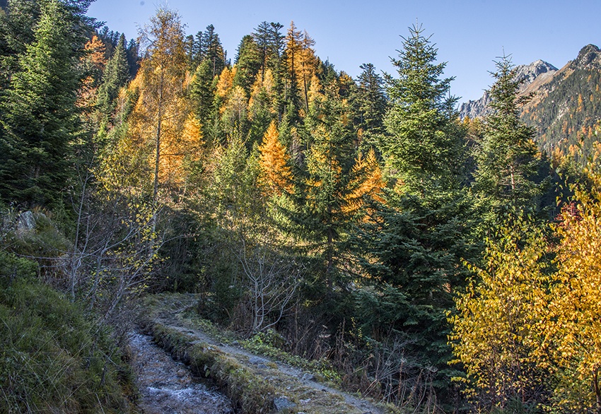
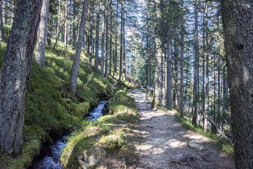
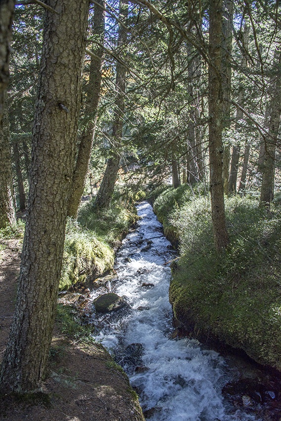
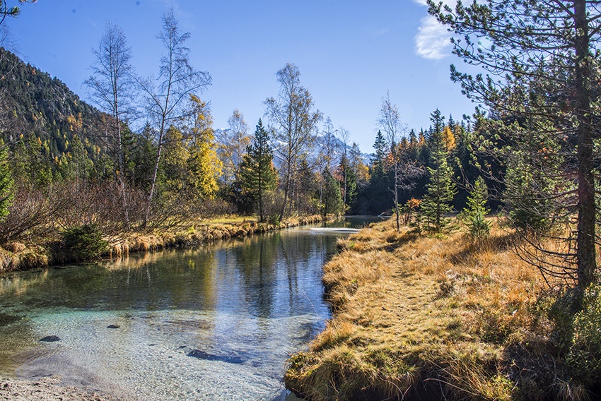
This bisse is also named Bisse de Champex or Bisse du Val d’Arpette. It seems to date from the fifteenth century. Il feeds the Champex lake from the Val d’Arpette. Thus, it should contain water throughout the year.

Total length
Approximately 6,5 km

Walking time
Approximately 2 hours.

Altitude
Between 1500 and 1650 metres.

National hiking map 1:50’000
282 T Martigny

Best period
from april to october

Difficulty
No particular difficulty.
Useful information
There are many nice picnic spots along the way.
Itinerary
Start
Take the path« tour du lac » opposite the Hôtel du Glacier. After about one hundred metres you will reach the bisse. The trail along the bisse is covered in wood chip in the style of the Finnish track. After a short distance the path is raised and you walk along wooden sleepers before joining a forest. Rather than continuing straight ahead, follow the path that works its way around the forest to the right.
Itinerary
After a light ascent you will reach the Val d’Arpette road. Cross the road onto a clearing installed with ski-lifts. The bisse continues at the other side of the clearing until Val d’Arpette.
For the return, go down the Val d’Arpette road for 500 meters and follow the «Chemin des Hauts Sapins» on your right to reach your starting point