Bisse du Trient


Location
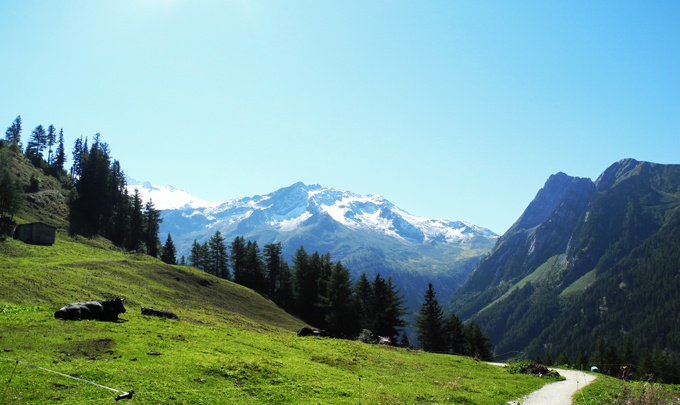
The Trient region, the Forclaz Pass above Martigny to the left of the Rhône.

Descriptif
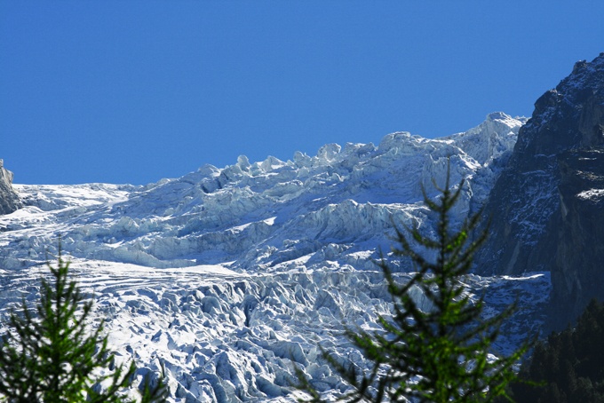
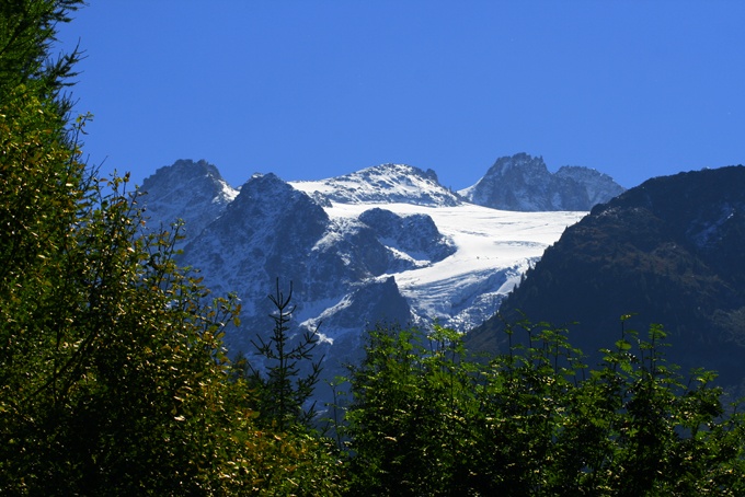
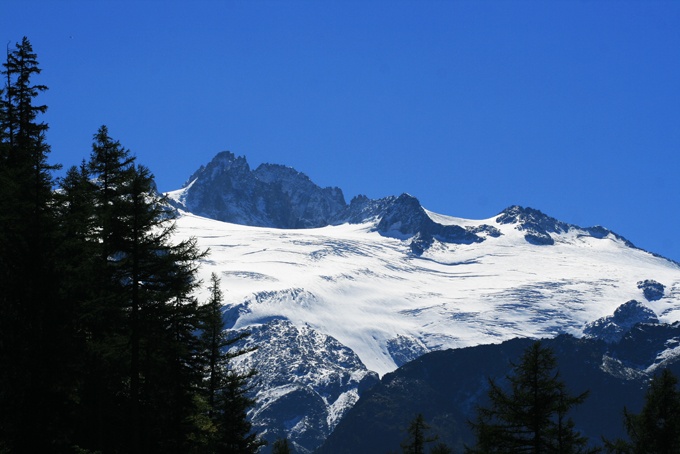
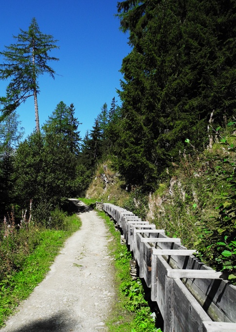
Built during the last decade of the 18th century on an old railway line used to transport ice from the Trient glacier to the Col de la Forclaz and then to towns and even Paris.

Total length
3 km.

Walking time
Approximately 1.5 hours including the return trip.

Altitude
Between 1600 and 1500 metres.

National hiking map 1:50’000
282 T Martigny.

Best period
May to October.
This bisse contains water from 1 June to 15 September.

Difficulty
There are no particular difficulties.
Useful information
In good weather, the stretch where the bisse takes water is idyllic for a picnic.
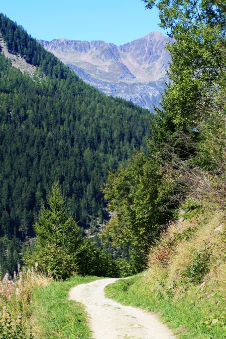
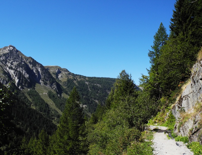
Most of the trail is suitable for push-chairs and those with reduced mobility.
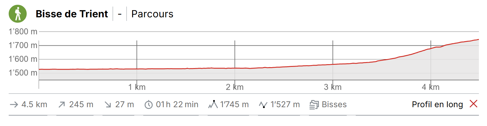
Itinerary
Departure & Itinerary
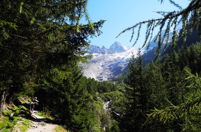
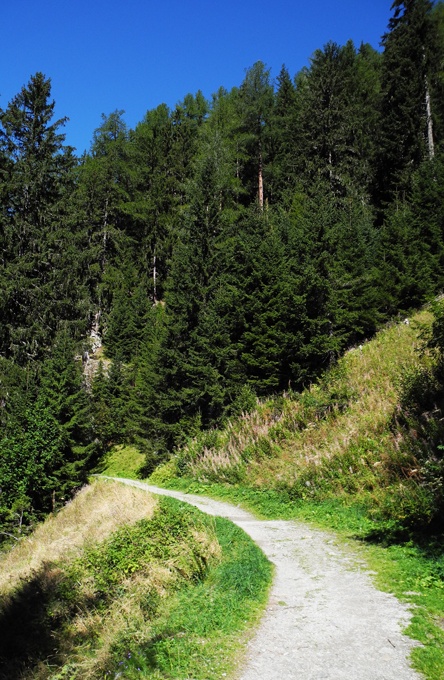
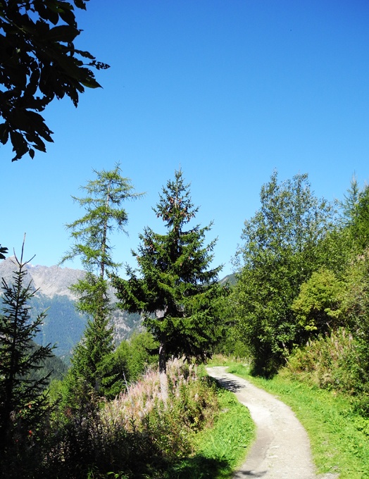
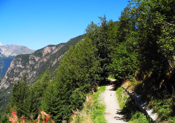
The trail starts opposite the restaurant at the Forclaz Pass. Follow the marked path south towards the Trient Glacier. For the return trip you can retrace your steps or pass by the village of Trient. This is a shady and unfrequented trail. There is a little café where the bisse takes water. It is also possible to continue as far as the glacier tongue.