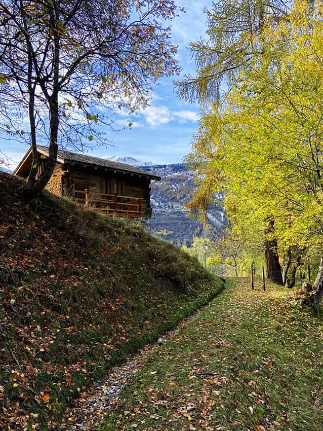
Bisses Ossona and Sevanne

Location
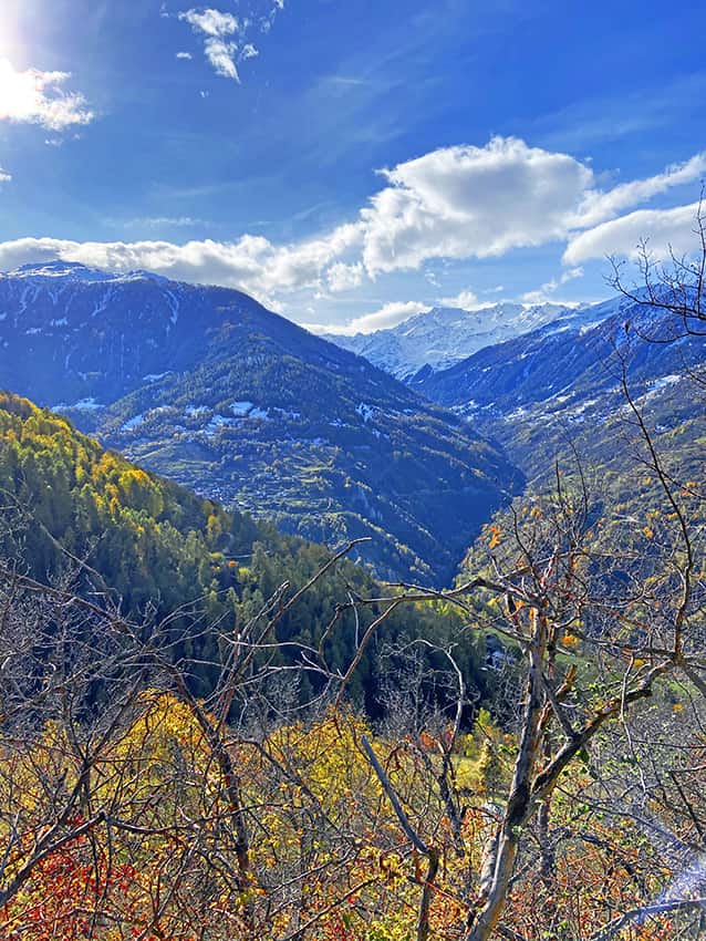
Val d’Hérens on the left bank of the Rhône. Departure from parking P2 on the road to Ossona.

Descriptif
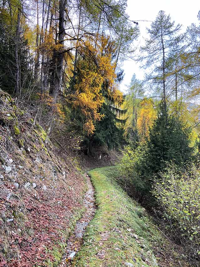
The Ossona and Sevanne irrigation channels are part of a pilot project by the Swiss Confederation to rehabilitate rural housing. The Ossona channel was rebuilt in the 2000s. The Sevanne channel is currently abandoned.

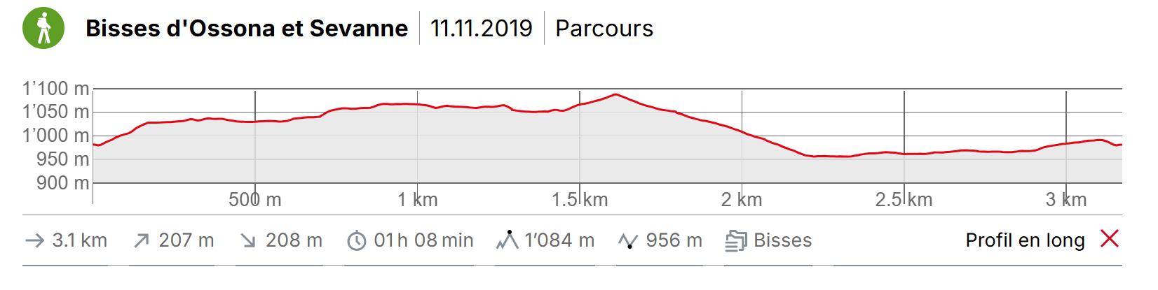
Total length
about 3 km

Walking time
about 2 hours

Altitude
Between 900 and 1’000 meters above sea level

National hiking map 1:50’000
273 Montana

Best period
All year

Difficulty
no particular difficulty
Useful information
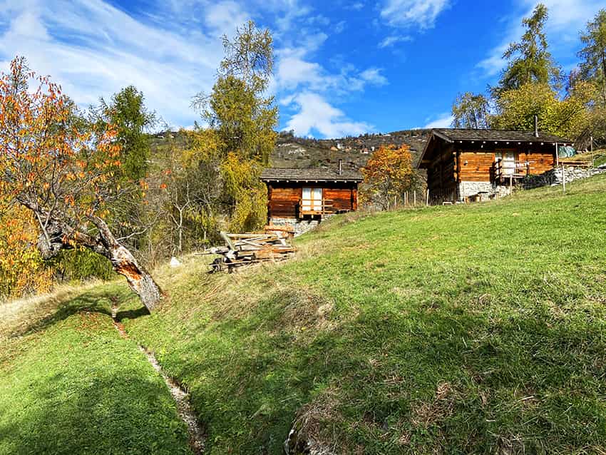
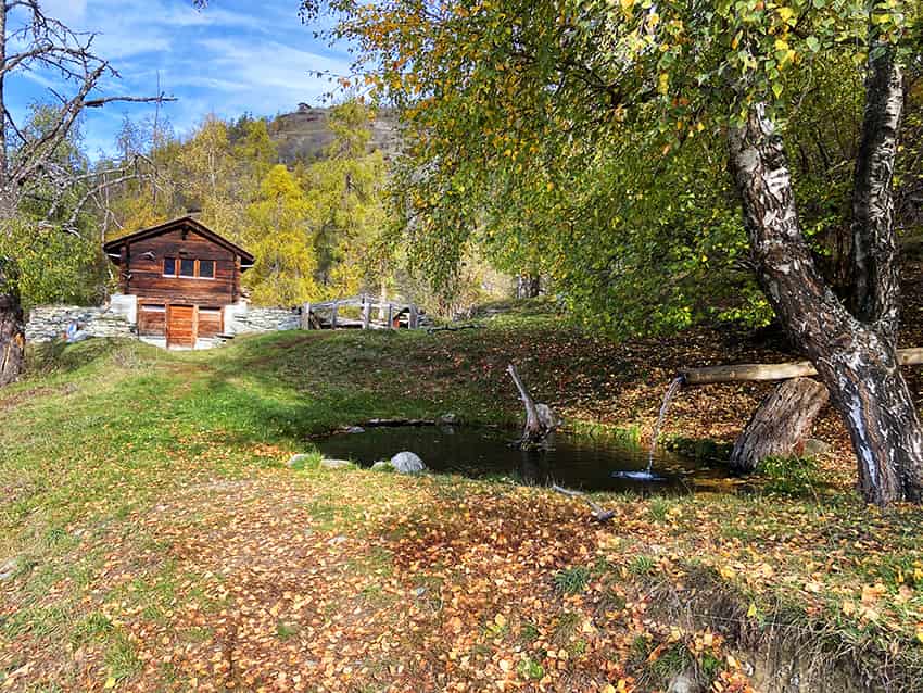
Very beautiful area and easily accessible also a good part of the winter. Be careful, however, the hours of sunshine and snow. The Ossona road is not served by public transport. What a wonderful place to spend a day between picnic and stroll. The rehabilitation of the Bisse D’Ossona is exemplary and the few renovated raccards that we cross make you want to spend the night.
Itinerary
Itinerary
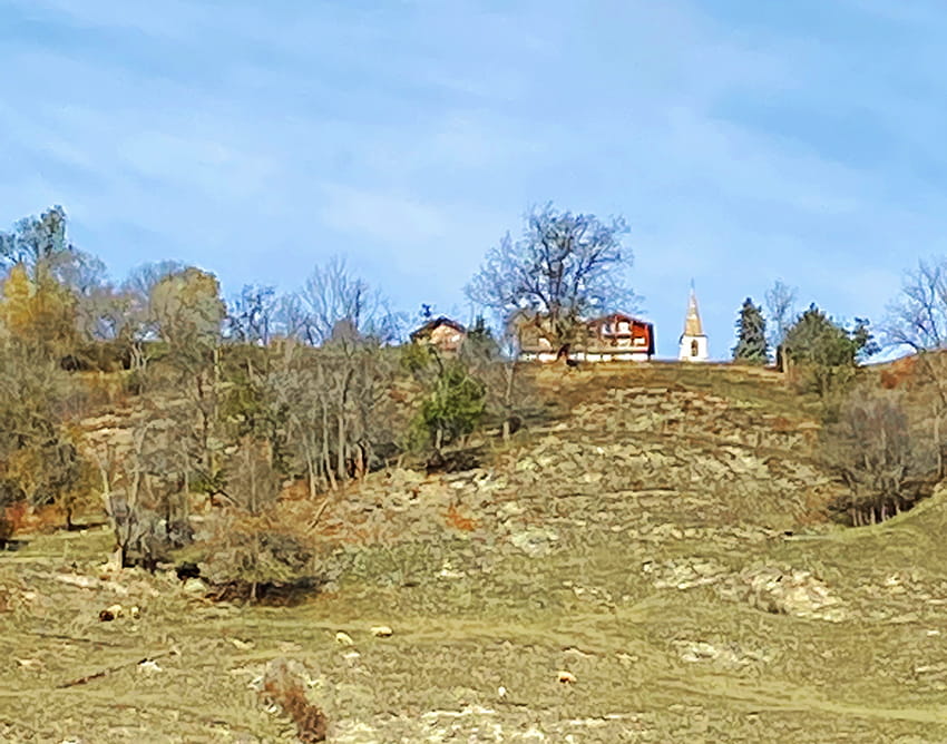
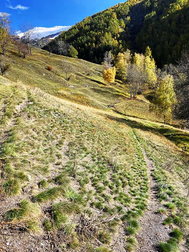
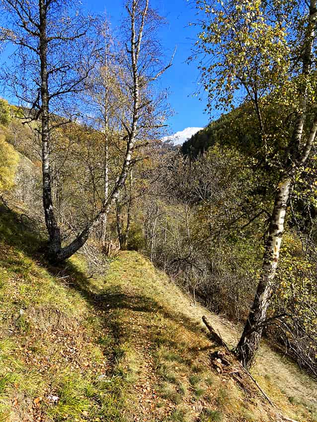
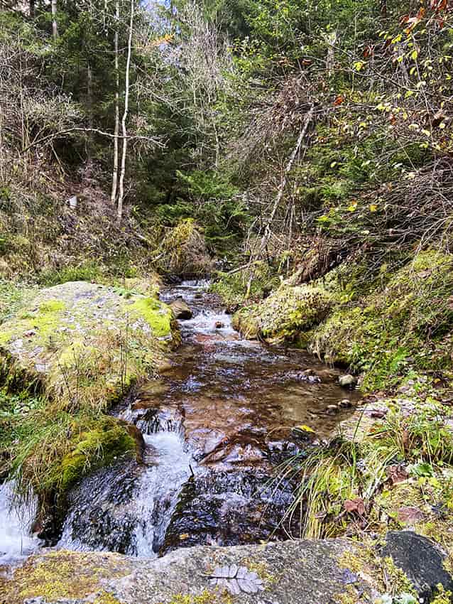
This loop route can be done in both directions. The route described here begins with the route that joins the Bisse de Sevane and crosses the plateau of the same name. From the P2 car park (Ossona road), follow the direction of Mase, Sevanne, Vernamiège and cross the La Manna torrent which separates the Ossona and Sevanne plateaus. At the second hamlet, the route climbs towards Mase via a wide path and then a path until the start of the Bisse de Sévanne which is signposted “Bisse d´Ossona”. The route follows more or less the old bisse de Sevanne until the torrent of La Manna. At the start, the route crosses several paths leading upstream. Always go down. The Ossona bisse begins at the La Manna torrent. Follow the bisse and at the first chalets, go straight down along the forest on a path to reach the starting point.