Bisse Siphon


Location
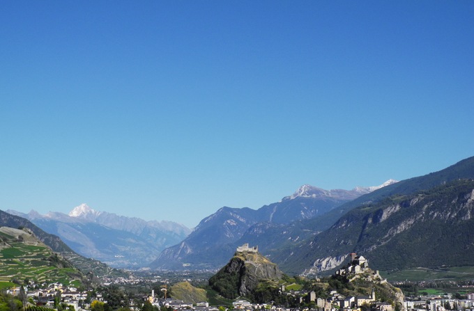
Mont d’Orge above Sion to the right side of the Rhône

Descriptif
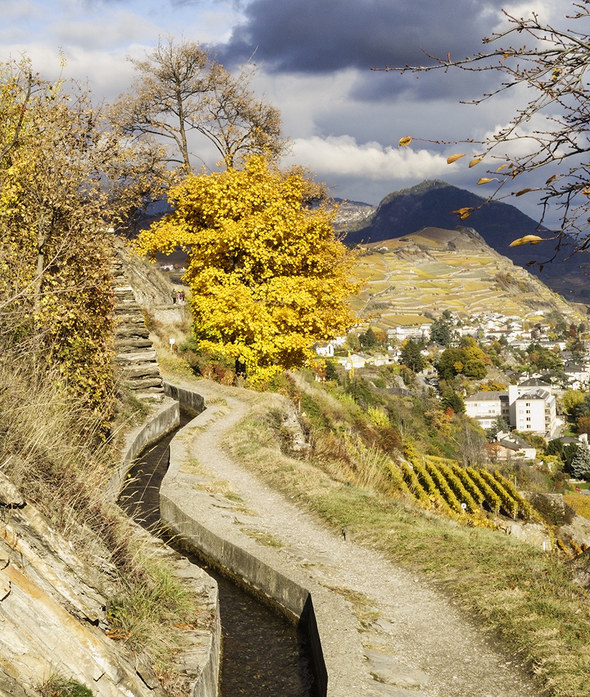
Built in 1935, it is unfortunately canalized.

Total length
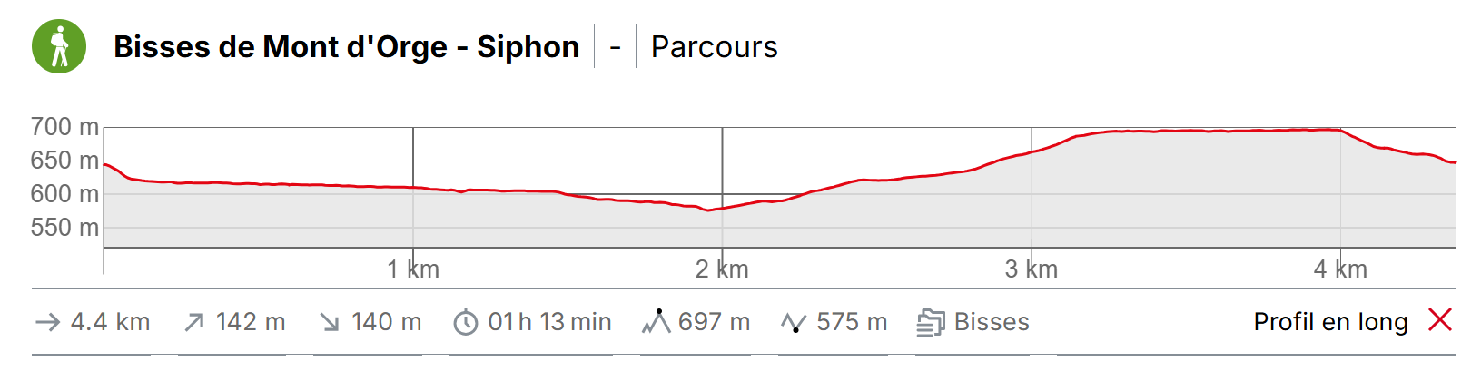
1 km

Walking time
Approximately 2 hours in a loop with the Bisse de Mont d’Orge

Altitude
Between 700 and 650 metres

National hiking map 1:50’000
273 T Montana

Best period
All year

Difficulty
Apart from a short steep stretch of about ten metres, there are no other difficulties
Useful information
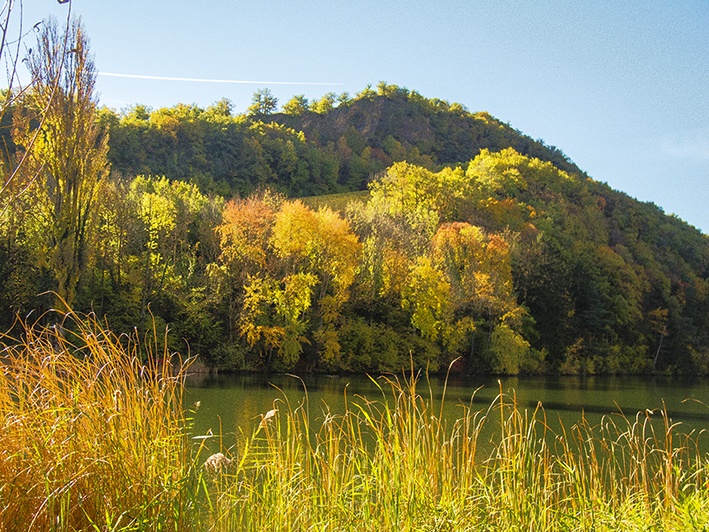
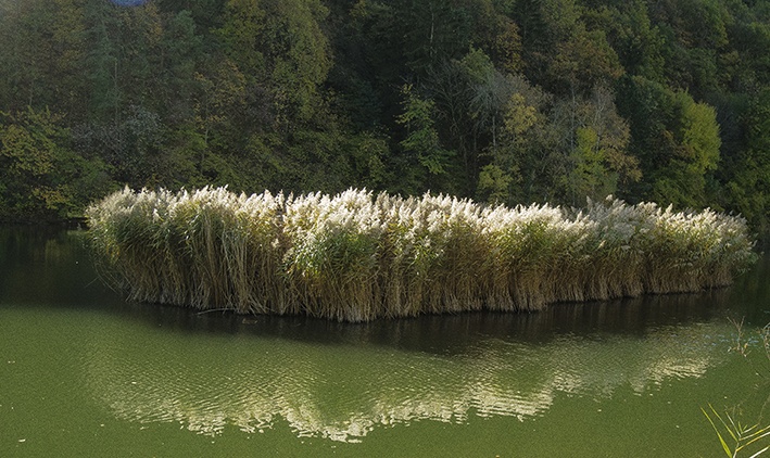
The Mont d’Orge lake is very popular with locals. It is a perfect destination for a family walk with young children. You can find many lovely places to picnic either on the hill or on the bisse trail.
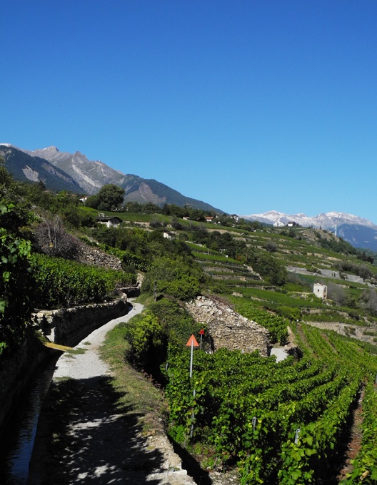
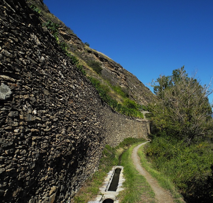
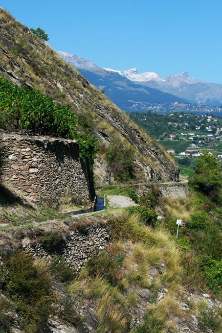
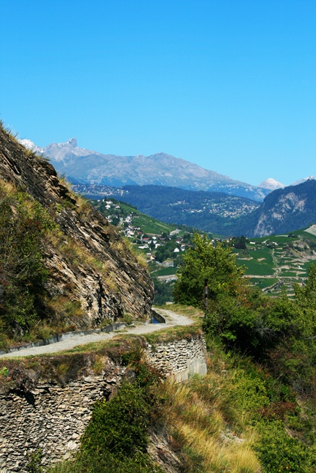
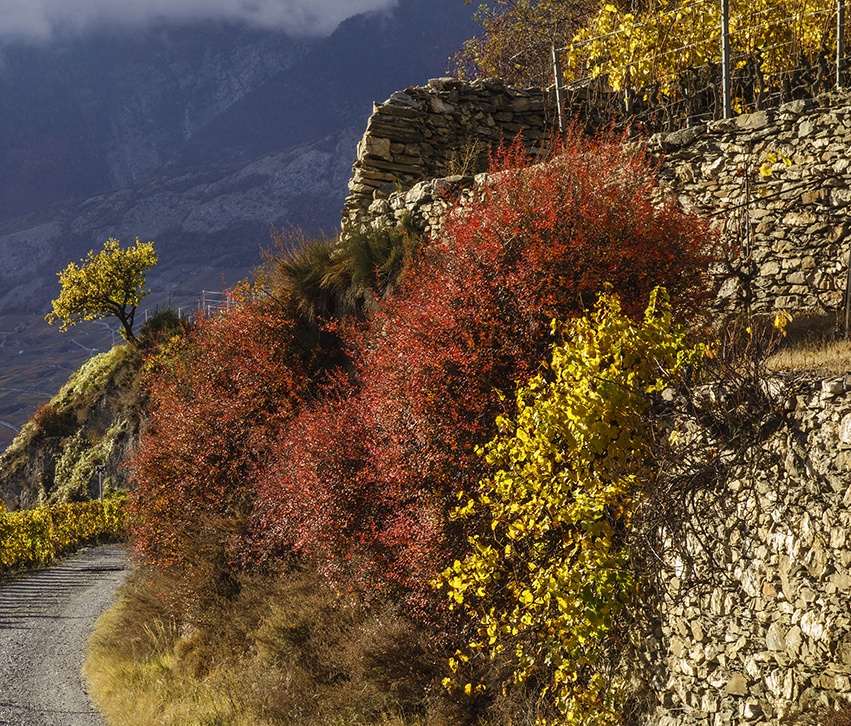
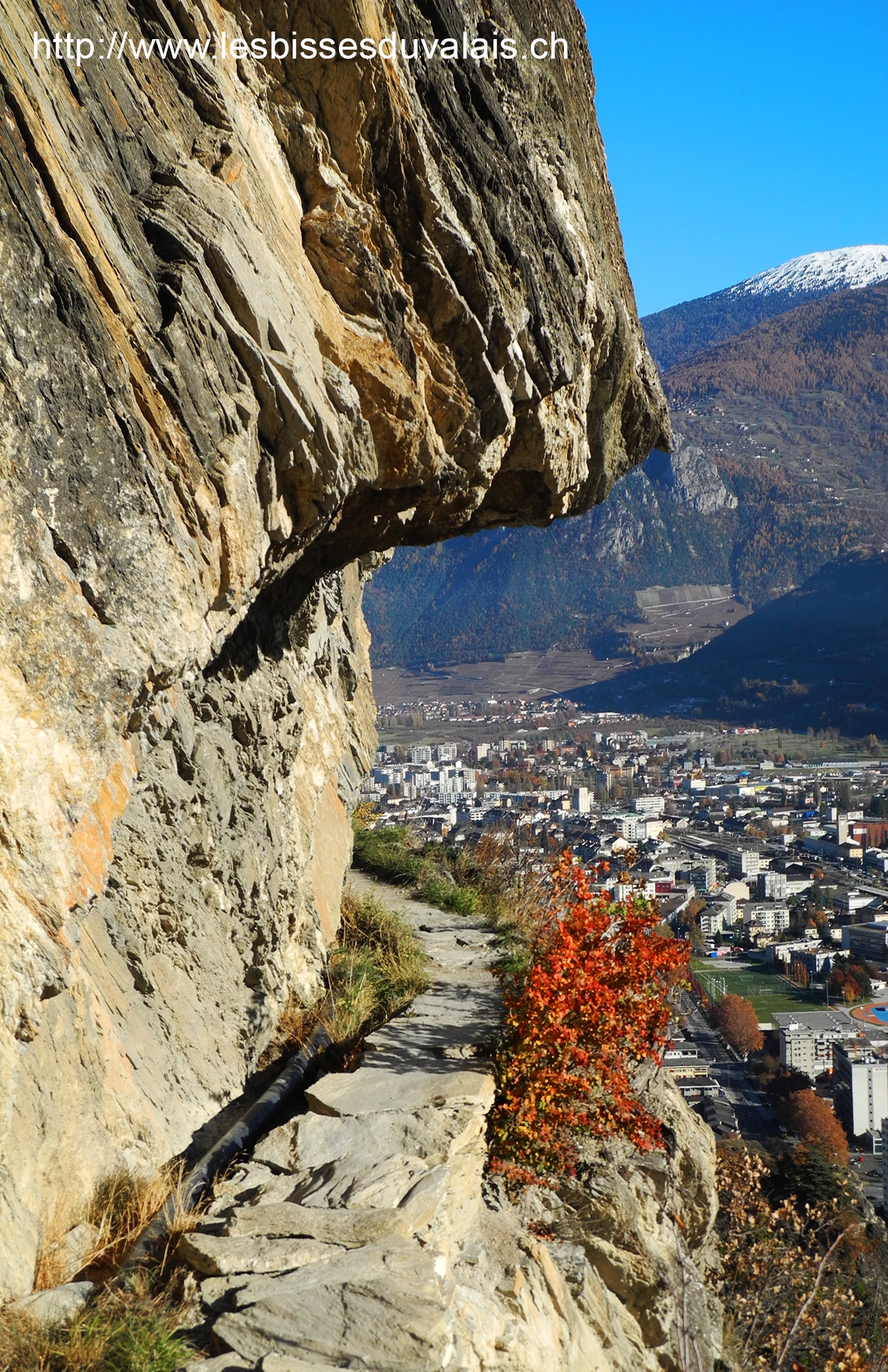
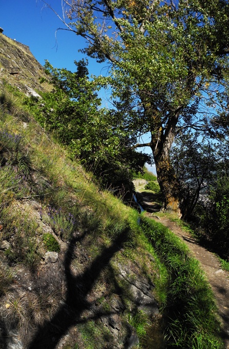
In summer it can be very hot on this exposed walk. Please note that, although there is no danger, there are some stretches where you must walk in single file where the path becomes narrow as it follows the vineyard walls.
The climb above the Bisse de Mont d’Orge is steep.
Itinerary
Departure
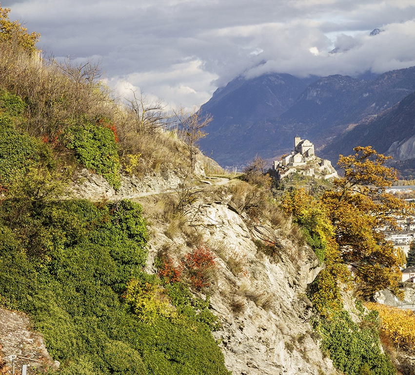
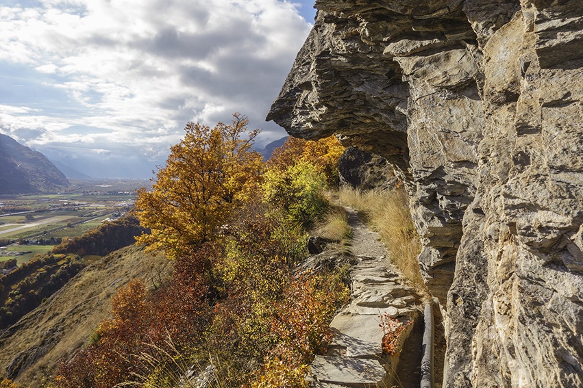
The trail for this bisse begins at the Mont d’Orge lake. From the car park, follow the sign-posts for the castle (château de Mont d’Orge). After between ten or fifteen minutes climbing, you reach the trail for the bisse and make your way west.
Itinerary
At the end of the bisse you reach an agricultural zone. At the first crossroads, turn left and follow the road downhill until it crosses the bisse. At this point, make your way back along the bisse to your starting point.