Bisse du Tsittoret


Location
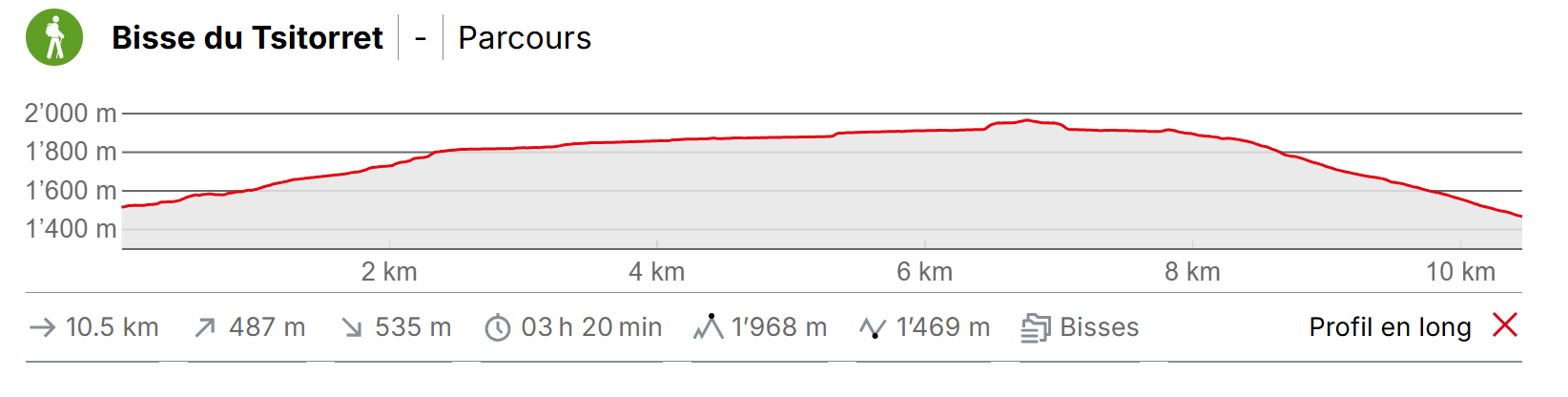
Crans-Montana, les Violettes and Aminona to the right side of the Rhône above Sierre.

Descriptif
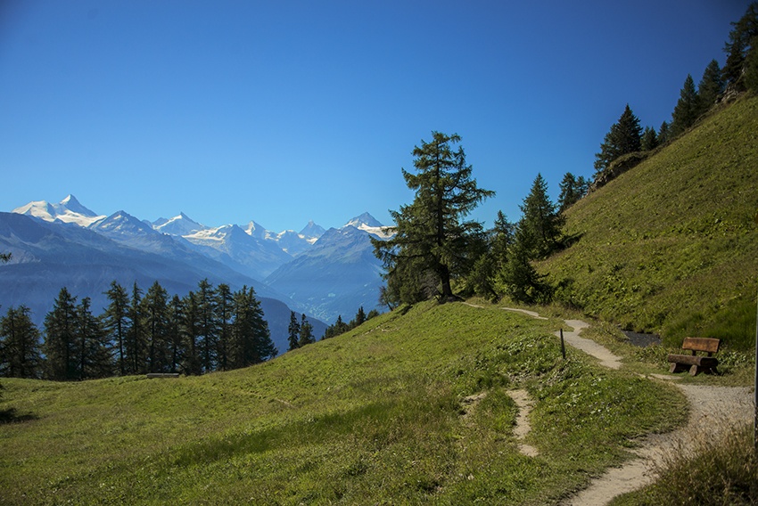
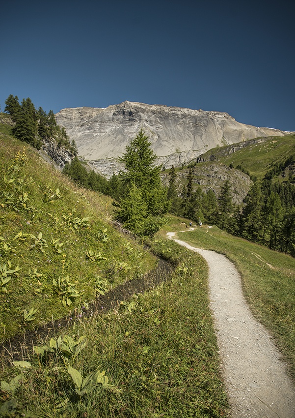
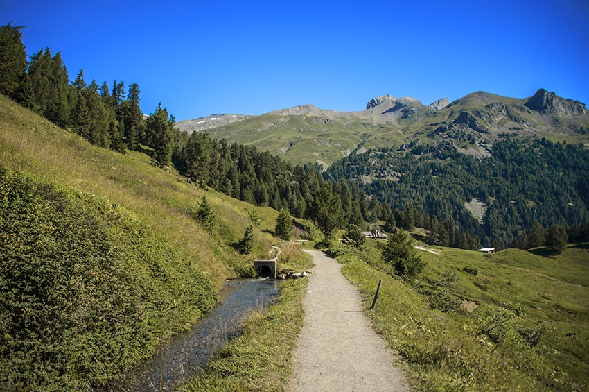
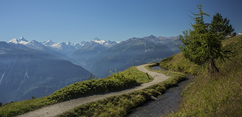
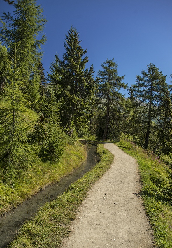
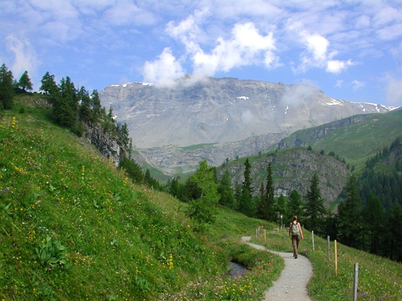
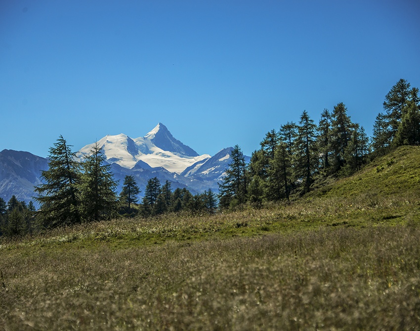
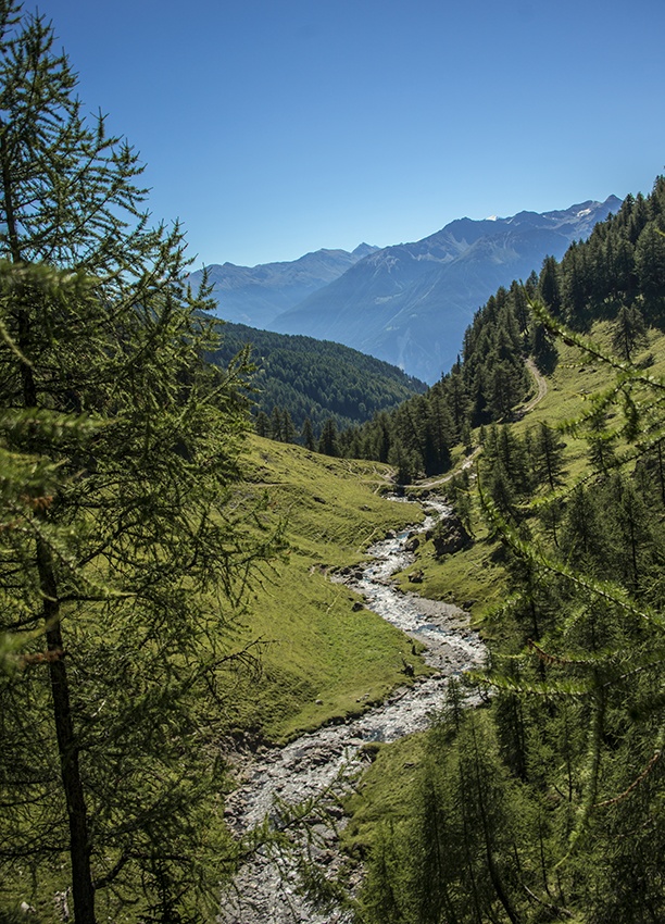
Built in the 15th century, this irrigation channel originates from the Tièche river, which becomes the Raspille, and separates the two linguistic regions of the canton of Valais. Spectacular views of the Valais Alps and the Val d’Anniviers.

Total length
8 km without the return trip.

Walking time
Approximately 4.5 hours including the return trip.

Altitude
Between 1950 and 1500 metres.

National hiking map 1:50’000
273 T Montana.

Best period
This bisse contains water from late May to late September.

Difficulty
There are no particular difficulties
Useful information
The bisse starts with a steep climb and you will meet few other walkers on this stretch.
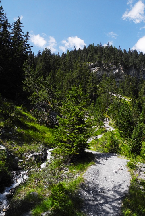
In good weather the area around the Caves du Scex and the little Tièche valley offer some lovely possibilities for a picnic.
During the summer season, there is a bus service to reach the Hameau de Colombire (for timetables, check with the tourist office).
Itinerary
Departure
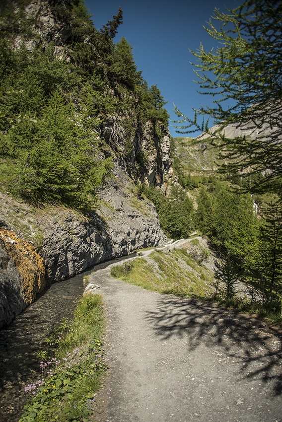
From the Violettes car park in Montana, take the Barzettes road on foot and after 300 metres on your left you can join the path of the bisse (direction Plumachit).
Itinerary
The first hour of the walk is quite a steep climb along the bisse. If you prefer to avoid this climb, you can drive a little further and begin your walk higher up. To do so, take the road to the left of the Violettes car park towards Plumachit as far as Hameau de Colombire. From here you can join the bisse on foot. For good walkers, who begin the walk at the Violettes car park, there is an alternative when you are retracing your steps on the return trip. At the Caves du Scex, make your way through the meadows to reach Aminona and from there take the free shuttle bus to the Violettes car park (check the timetable beforehand!).