Bisse du Poteu

Location
Chamoson, to the right of the Rhône, above the village of Grugnay

Descriptif
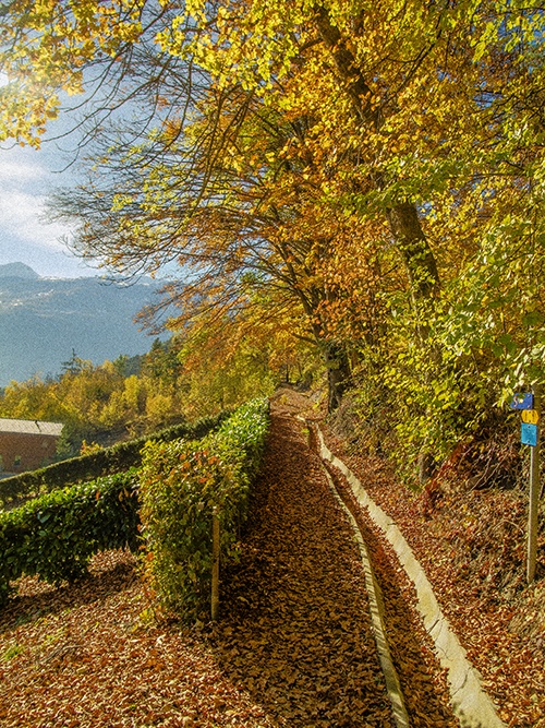
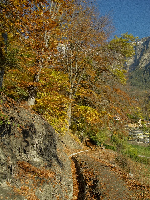
This bisse dates from the nineteenth century. It has been restored with water flowing along its path again. It is suitable for push-chairs.

Total length
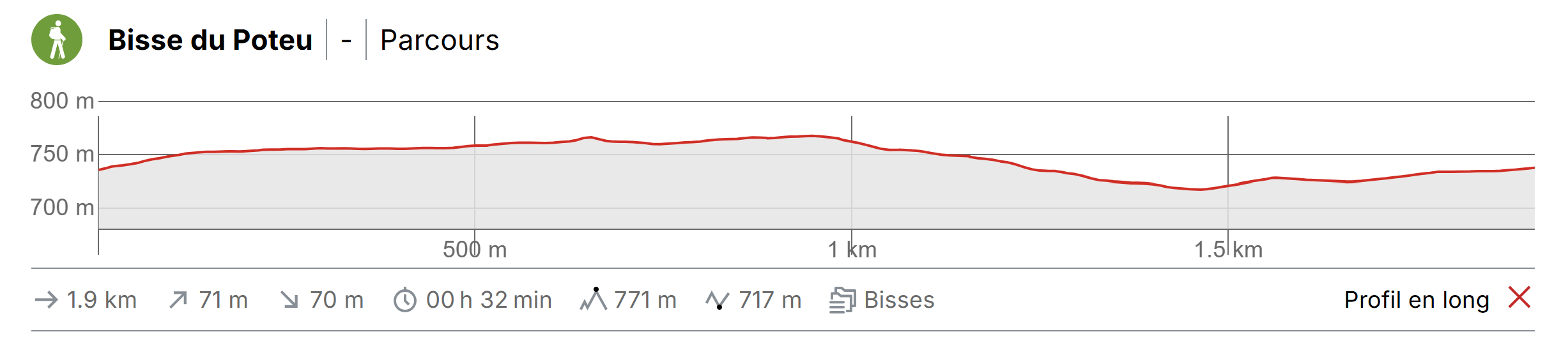
Approximately 1.3 km.

Walking time
Approximately 1 hour.

Altitude
Between 750 and 720 metres.

National hiking map 1:50’000
241 T Val-de-travers

Best period
from april to october

Difficulty
T2 – T3
Useful information
A low-altitude bisse, you can enjoy it’s trail throughout the year. The trail is easy and suitable for push-chairs. If you wish, rather than retracing your steps back to your starting point, it is possible to find your way back along the Lozentse river (although this option is not possible with a push-chair). Take care not to miss the fork in the path taking you back to Grugnay and your starting point!
Itinerary
Departure & Itinerary
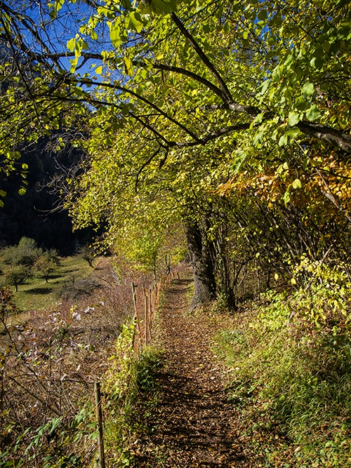
From the middle of the village of Grugnay, make your way towards the «Musée de Spéléologie» and climb about 100 metres to the public car park. From this car park, continue uphill on foot for about 100 metres along the road until you reach the sign-post «Bisse du Poteu». Having passed a number of villas you will enter a leafy forest. Follow the bisse to where it takes water in the Lizerne or the Lozentse.