Bisse des Sarrasins

Location
Between Pinsec and Vercorin, to the left of the Navizence, in the Val d’Anniviers

Descriptif
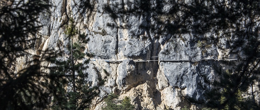
Bisse dating from the 15th century and surrounded by legends. Read about it in Joseph Henriet’s book “Our Ancestors the Saracens of the Alps” which demystifies the legends relating to the Saracens.

Total length
10 km.

Walking time
3 to 5 hours

Altitude
Pinsec 1290 m, water source 970m, and Vercorin 1320 m.

National hiking map 1:50’000
273 T Montana.

Best period
June to October.

Difficulty
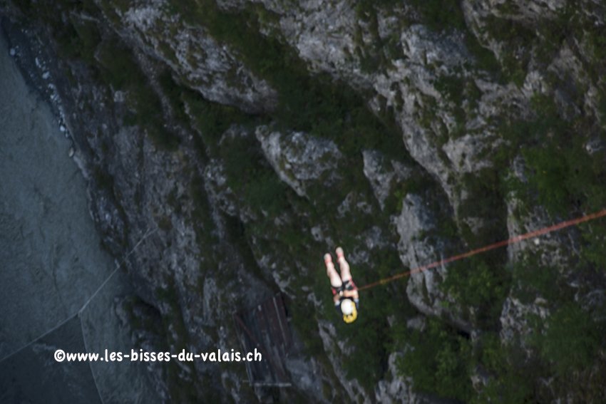
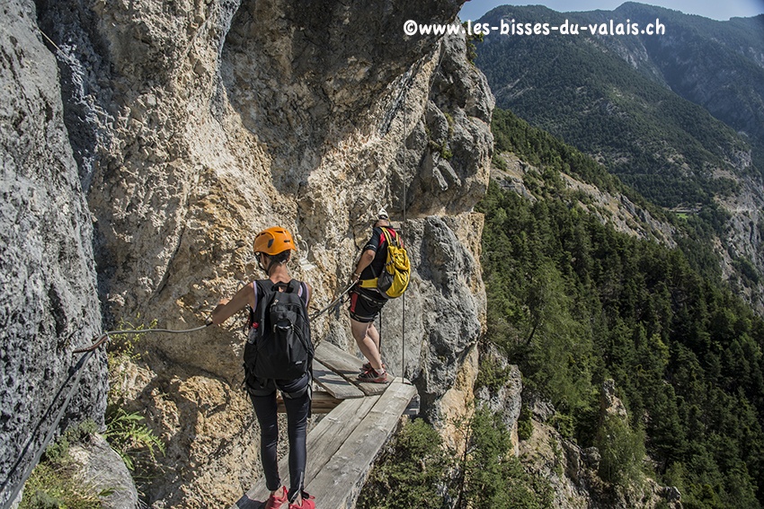
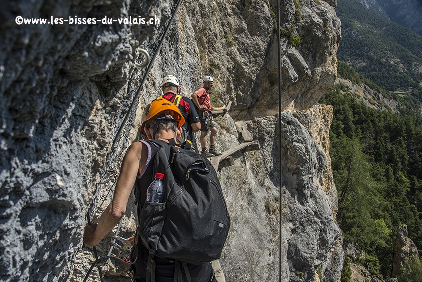
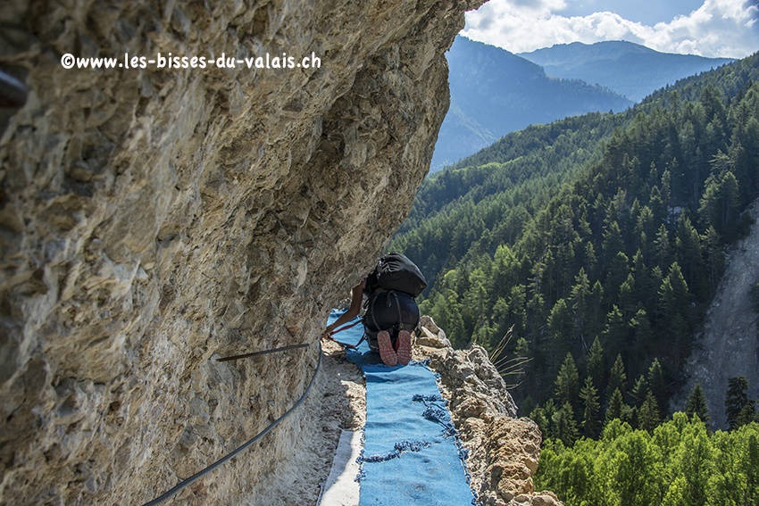
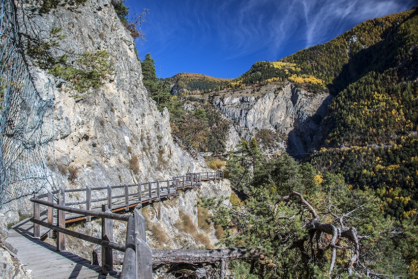
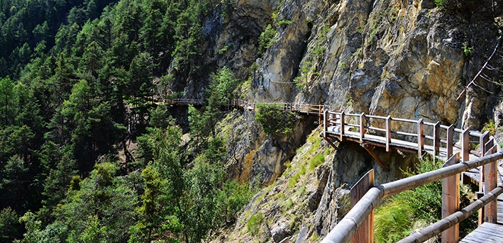
This is a difficult walk with nearly 600 meters of vertical drop. Not suitable for those suffering from a fear of heights or for young children.
Useful information
A shuttle bus runs between Pinsec and Vercorin. Please consult timetable at the local toutrist office.
At Pinsec, the car park is located as you leave the village heading towards St Jean.
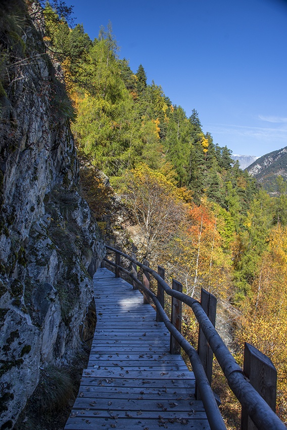
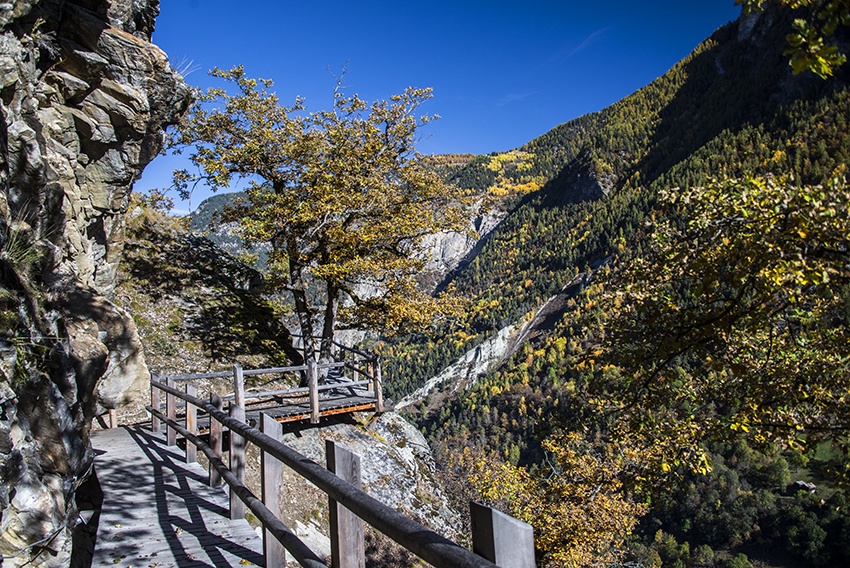
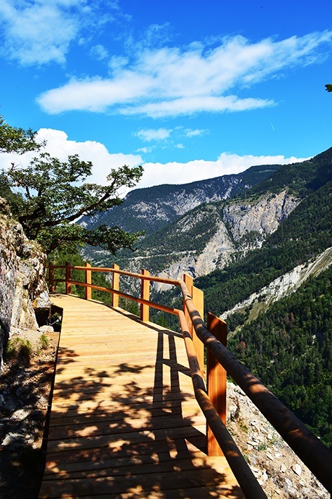
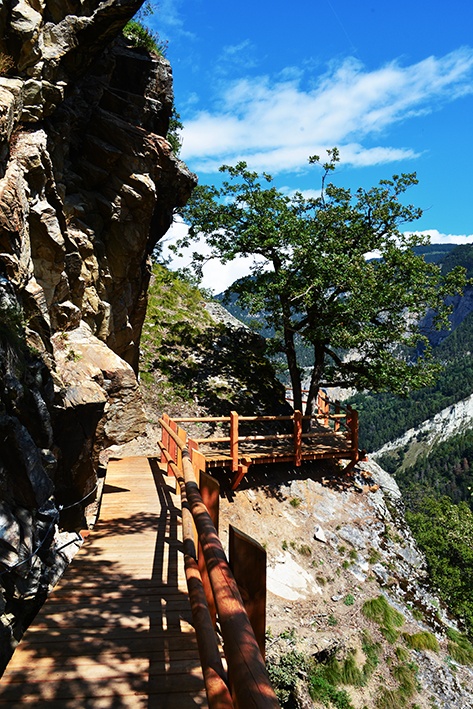
This bisse has been wonderfully improved but is reserved for experienced walkers .
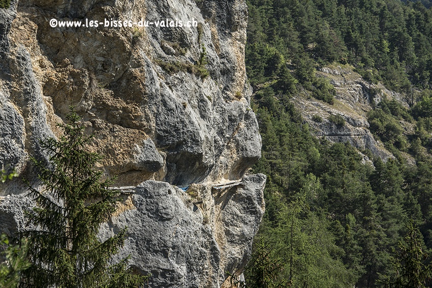
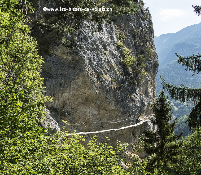
There is not water in the bisse. The trail partially follows the old path of the bisse and it is fascinating to imagine the courage and willpower necessary in the construction of a bisse in such an challenging environment.
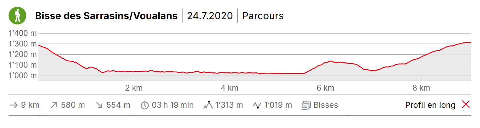
Itinerary
Departure
This bisse can also be explored from Vercorin but we advise beginning at Pinsec. From the middle of the village of Pinsec, follow the sign-posts and take a very steep path to where the bisse takes water almost at the same height as the Navizence (350 metres downhill).
Itinerary
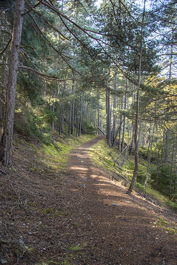
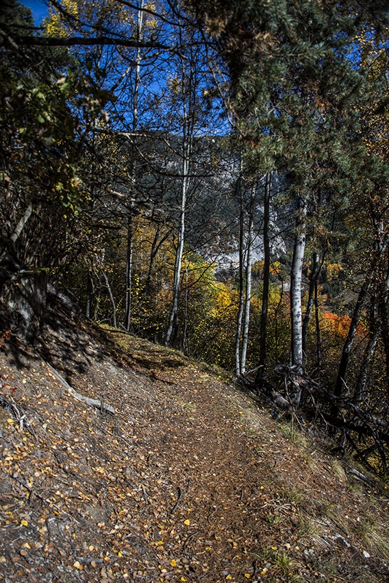
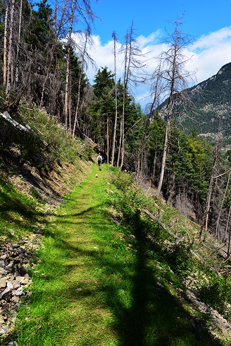
From where the bisse takes water, follow the path of the bisse along the hillside. The trail is very varied, with stretches in the forest, others that are uphill, downhill or flat and some which are very steep. You need to be sure-footed and equipped with good walking boots. Always follow the sign-posts for «Vercorin» and «Bisse des Sarrasins». When you reach the end of the bisse, make your way to Vercorin some 300 metres above you.