Bisse de Grimisuat

Location
Situated in the districts of Ayent and Grimisuat, to the right of the Rhône.

Descriptif
This bisse forms part of the large water management system which includes the Bisse de Sion and the Bisse d’Ayent. It contains water for most of the year.

Total length
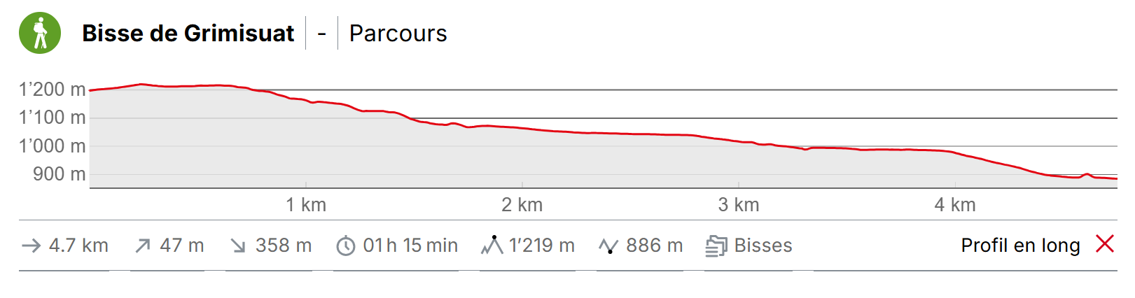
4 km

Walking time
It takes 2 hours round trip, but returning by bus is possible.

Altitude
Between 900 and 1200 metres.

National hiking map 1:50’000
273T Montana.

Best period
May to October.
This bisse contains water from mid-April to mid-October.

Difficulty
No particular difficulty, although the trail is regularly interrupted by a forest road. Take care to follow the bisse each time.
Useful information
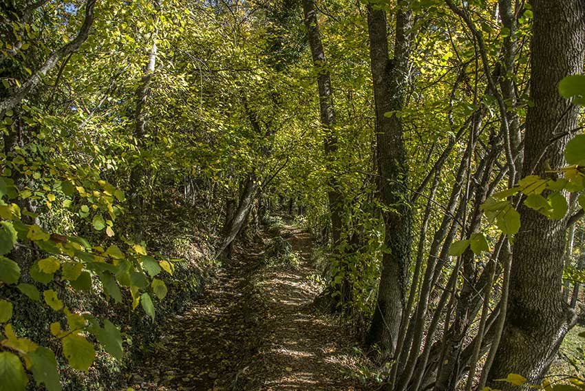
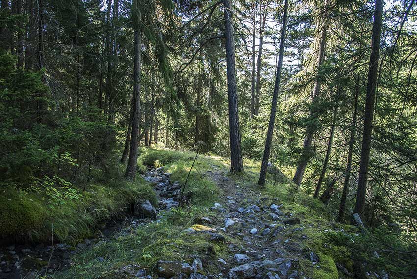
This is a shady and varied itinerary with few other walkers.
To return to the start of the bisse, follow carefully the instructions given on this site as there are no sign-posts on this bisse.
Itinerary
Departure
Above the village of Arbaz, about 200 metres after the first hairpin bend, take a left onto Pierre-Grosse road and continue until you are just below the tennis club. From here, head towards Planeige, La Zour, Chandolin and follow the forest road until you reach the Sionne. Before the bridge across the river (the Sionne), there is a metal stairs to reach the starting point of the bisse.
Itinerary
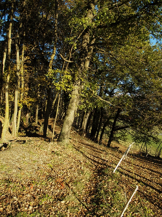
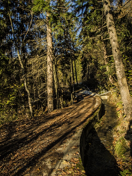
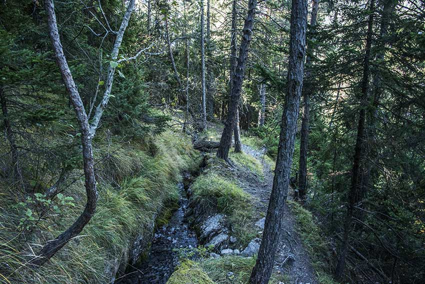
Follow the bisse along a rather difficult trail through a quite dense forest. When you reach a chalet, the path crosses the bisse. Cross back again 50 metres lower. After about 2 km you will join a tarmac road and after a further few hundred metres the bisse divides in two. Follow the sign-post for «Blignou». You will reach the main road to Arbaz adn the bus-stop «Zegeard-Valan » (GPS 46°16’1’’ N 7°23’7’’ E) from where you can return to your starting point or to Sion.